Yerevan: The Eternal Pink City of Armenia
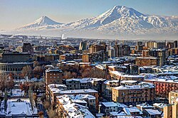
Yerevan, the vibrant capital of Armenia, is a city where ancient history and modern urbanity coexist in a striking balance. Often referred to as "The Pink City" due to the distinctive rosy hue of the volcanic tuff stone used in much of its architecture, Yerevan serves as the political, cultural, and economic heart of the nation. Dominating the skyline is the majestic Mount Ararat, the national symbol of Armenia, providing a timeless backdrop to a city that has evolved over millennia.
![Mount Ararat, the national symbol of Armenia, dominates the Yerevan skyline.[44][45]](/images/33/87/338744fca79897f007c50129926767711e80ccf9e1725e6fd89055115aec3526.jpg)
Key Facts
!["YEREVAN" (ԵՐԵՒԱՆ) in an inscription from Kecharis, dating back to 1223[35]](/images/c6/99/c6999eba9946f90c40620adc2e6d03b9ee8364c44c70219f73eae52266597d8a.jpg)
- Founded: 782 BCE by King Argishti I of Urartu.
- Population: 1,086,677 (2022 census).
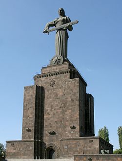
- Nicknames: "The Pink City" and "Mother City".
- Economy: Nominal GDP of US$ 15.932 billion (2023).
- Geography: Spans 223 km² with elevations ranging from 865m to 1,390m.
- Human Development Index: 0.866 (Very High).
A Journey Through Time: From Erebuni to the Modern Era
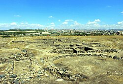
Ancient Foundations and the Urartian Legacy
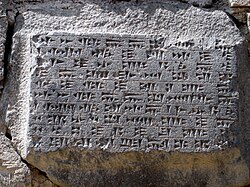
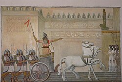
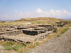
The roots of Yerevan stretch back to the prehistoric settlement of Shengavit, which was inhabited as early as 3300 BCE. However, the city's formal birth is recorded in 782 BCE, when King Argishti I of Urartu founded the fortress of Erebuni. This event is immortalized in a cuneiform inscription on a basalt slab, often regarded as the city's "birth certificate."
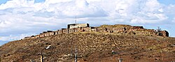
The Erebuni Fortress remains a testament to this era, showcasing the strategic importance of the region during the Urartian period. Over the following centuries, the area saw various influences, including Median, Achaemenid, and Sasanian rule, as well as the impact of the Arab Islamic invasions and the subsequent Bagratid Armenian era.
Imperial Transitions and Soviet Reconstruction
Yerevan's trajectory was shaped by successive waves of rule, from the Mongol and Iranian periods to the eventual establishment of Russian rule. It was under the Russian Empire that Yerevan officially gained city status on October 1, 1879, under Alexander II. Following a brief period of independence, the city became part of the Soviet Union.
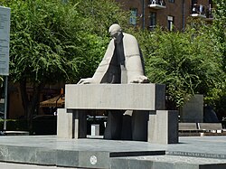
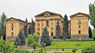
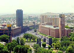
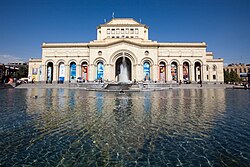
The Soviet era brought a radical transformation of the city's layout. Architect Alexander Tamanian envisioned a modern, planned city, replacing old structures with wide avenues and monumental buildings. This period saw the creation of the Republic Square and the Government House, which remain central to the city's identity today.
City Geography and Climate
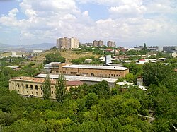
Yerevan is situated in a valley with a diverse topography. Its climate is characterized by hot, dry summers and cold winters. The city experiences significant sunshine, averaging 2,675 hours per year, with peak temperatures in July often exceeding 34°C.
| Metric | Winter (Jan) | Spring (Apr) | Summer (Jul) | Autumn (Oct) |
|---|---|---|---|---|
| Mean Max Temp (°C) | 1.7 | 19.8 | 34.5 | 21.6 |
| Mean Min Temp (°C) | -7.8 | 6.4 | 19.1 | 7.1 |
| Avg Precipitation (mm) | 21 | 47 | 10 | 21 |
Culture, Architecture, and Landmarks
Architectural Marvels
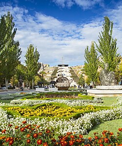
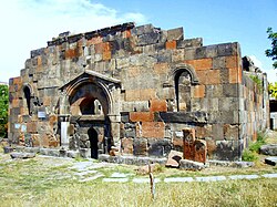
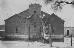
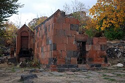
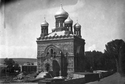
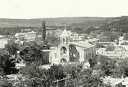
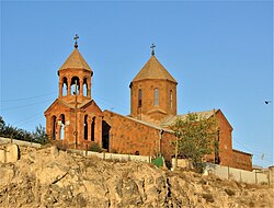
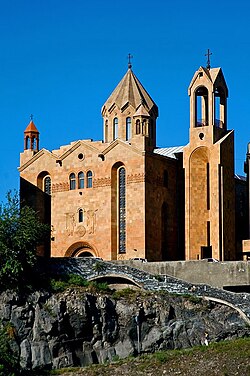
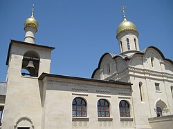
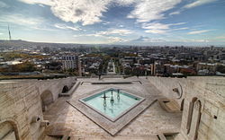
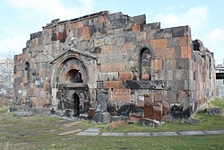
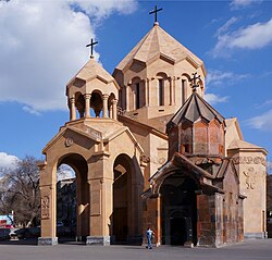
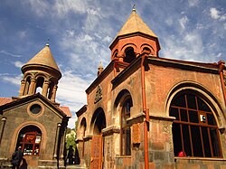
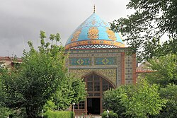
Yerevan's architecture is a blend of the ancient and the avant-garde. The Cascade complex, a massive limestone stairway featuring the Cafesjian Museum of Art, offers a stunning ascent with views of the city. For those seeking spiritual history, the city hosts numerous churches, from the 5th-century Saint Paul and Peter Church to the modern Holy Cross Russian Orthodox Church.
Intellectual and Artistic Hubs
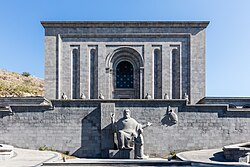
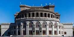
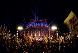
The city is a center for learning and the arts. The Matenadaran, a library-museum of ancient manuscripts, preserves some of the world's most important Armenian texts. Music and performance thrive at the Yerevan Opera Theater and the Komitas Chamber Music House.
Governance and Urban Structure
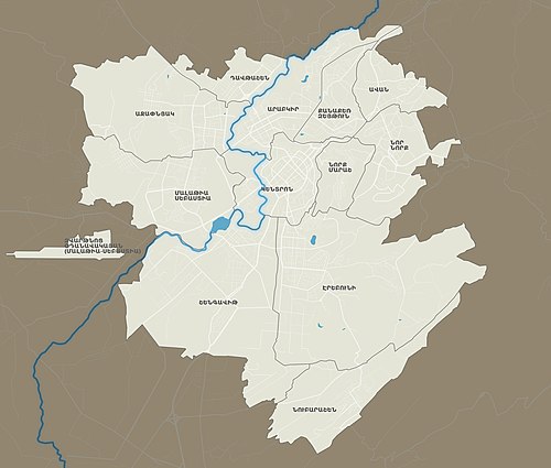
Yerevan is managed by a Mayor-Council system, with the City Council regrouping the heads of the community districts. The city is divided into 12 administrative districts, with Malatia-Sebastia and Shengavit being among the most populous.
Infrastructure and Transport
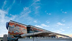
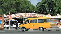
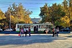
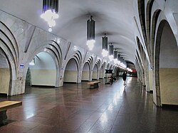
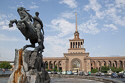
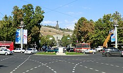
The city is well-connected via Zvartnots International Airport and a comprehensive transport network including the Yerevan Metro, trolleybuses, and public vans known as marshrutkas. The railway station, featuring the iconic statue of David of Sassoun, connects the capital to other regional hubs.
Frequently Asked Questions


Why is Yerevan called the "Pink City"?
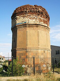
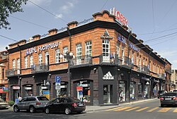
Yerevan earned this nickname because many of its buildings are constructed from volcanic tuff, a local stone that naturally occurs in various shades of pink and rose.
When was Yerevan officially founded?
Yerevan was founded as the fortress of Erebuni in 782 BCE by King Argishti I of Urartu, making it one of the oldest continuously inhabited cities in the world.
What is the significance of the Matenadaran?
The Matenadaran is one of the world's largest depositories of ancient manuscripts, serving as a critical center for the study of Armenian history, language, and culture.
What are the main administrative divisions of the city?
Yerevan is divided into 12 administrative districts, including Kentron (the center), Arabkir, and Erebuni, among others.
Which mountain is most visible from the city?
Mount Ararat, while located across the border, dominates the Yerevan skyline and serves as the primary national symbol of Armenia.