Neckar River: Germany's Vital Waterway from the Black Forest to the Rhine
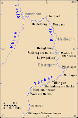
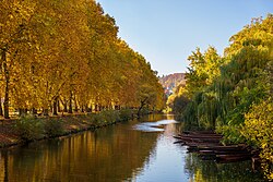
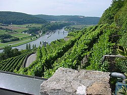
The Neckar is one of Germany's most significant rivers, serving as a critical artery for transport, industry, and culture in the southwestern region. Stretching 362.4 kilometers (225.2 miles), it flows primarily through the state of Baden-Württemberg with a brief passage through Hesse. As the fourth-largest tributary of the Rhine, the Neckar connects the highlands of the Black Forest to the industrial hubs of the Rhine valley.
From its serene beginnings in a conservation moor to its role as a heavy shipping waterway, the Neckar has been reshaped by centuries of engineering to support the economic growth of cities like Stuttgart, Heilbronn, and Heidelberg.
Key Facts
- Total Length: 362.4 km (225.2 mi).
- Source: Schwenninger Moos in the Black Forest at 706 m elevation.
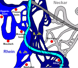
- Mouth: Joins the Rhine at Mannheim at 95 m elevation.
- Basin Size: 13,928 km².
- Average Discharge: 145 m³/s.
- Navigability: Navigable for cargo ships from Mannheim up to Plochingen via 27 locks.
Geography and River Course
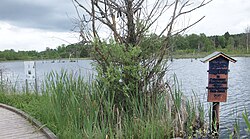
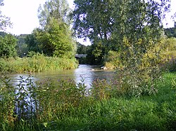
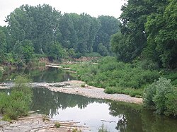
The Neckar begins its journey in the Schwarzwald-Baar-Kreis near Schwenningen, specifically within the Schwenninger Moos (a protected moorland conservation area). From this high elevation of 706 meters, the river winds northward through a diverse landscape of forests, valleys, and urban centers.
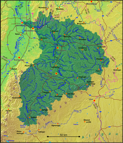
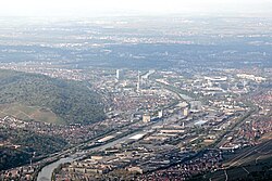
As it progresses, the river passes through several major municipalities, including Rottweil, Tübingen, Stuttgart, and Heidelberg. The river's path is characterized by its interaction with numerous tributaries that expand its drainage basin. The longest of these is the Jagst, which joins the Neckar near Bad Friedrichshall Jagstfeld.
Major Tributaries
The Neckar is fed by a complex network of streams. Some of the most significant tributaries include:
- Jagst: 190.2 km
- Kocher: 168.7 km
- Enz: 105.5 km
- Rems: 78.4 km
- Fils: 62.8 km
The Evolution of Navigation
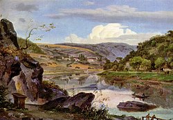
The history of the Neckar is a story of human engineering. While timber floating began as early as 1100, formal efforts to make the river navigable for ships started in the 16th century. Early attempts were often hindered by political disputes, such as the "staple right" held by the city of Heilbronn, which restricted trade flow.
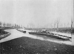
A major turning point occurred in 1821 with the construction of the Wilhelmskanal, which established continuous navigability. Later, in 1878, "chain boat" navigation (known locally as Neckaresel or "Neckar donkeys") was introduced. These steam towboats pulled themselves upriver using a 115 km chain laid on the riverbed, drastically reducing travel time between Mannheim and Heilbronn.
Modern Heavy Shipping
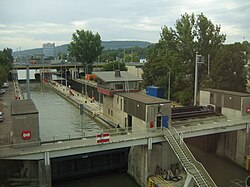
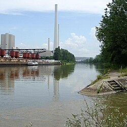
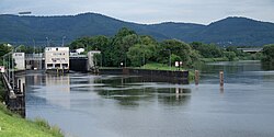
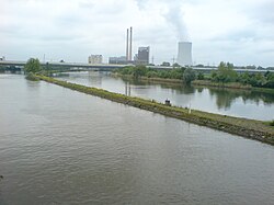
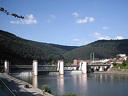
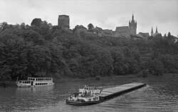
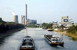
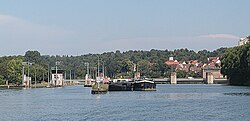
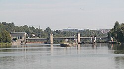
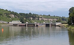
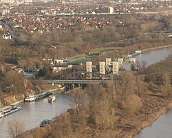
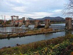
Between 1921 and 1968, the Neckar underwent a massive upgrade to become a heavy shipping waterway. This involved the construction of 27 locks and various barrages to regulate water levels. By 1968, the waterway was fully operational from Mannheim to the river port of Plochingen.
Today, the section from Plochingen to the mouth is classified as a "Wasserstraße des Typs Va" (Waterway Type Va). In 2012, over 7,300 river boats transported 7.5 million tons of cargo, primarily consisting of construction materials, coal, and salt.
Infrastructure and Energy
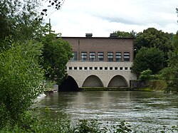
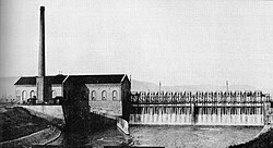
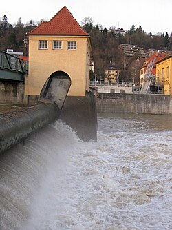
The Neckar's flow has been harnessed for centuries to power industry. While many historic mills still exist, modern hydroelectric plants now provide sustainable energy. The Kraftwerk Oberesslingen, designed by architect Paul Bonatz in 1929, is a prime example, delivering approximately 12.3 GWh of energy annually.
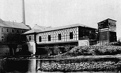
The river is also a site of scientific milestones. In 1891, the Lauffen-Frankfurt transmission marked the world's first long-distance transmission of high-voltage alternating three-phase current, sending electricity 175 km from Lauffen to Frankfurt.
Bridges and Urban Integration
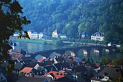
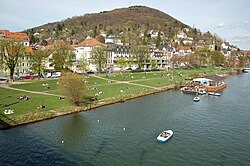
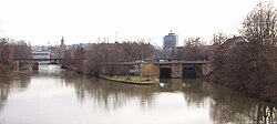
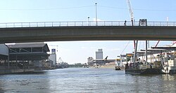
The river is crisscrossed by approximately 400 bridges of various sizes. In cities like Heidelberg, the river is central to the urban identity, featuring historic structures like the Old Bridge built in 1788.
River Characteristics Summary
The following table provides a technical overview of the Neckar's physical and operational properties.
| Feature | Detail |
|---|---|
| Source Elevation | 706 m (2,316 ft) |
| Mouth Elevation | 95 m (312 ft) |
| Total Length | 362.4 km |
| Navigable Length | ~200 km (Mannheim to Plochingen) |
| Number of Locks | 27 |
| Primary Cargoes | Construction materials, Coal, Salt |
Frequently Asked Questions
Where does the Neckar River begin and end?
The Neckar rises in the Schwenninger Moos conservation area in the Black Forest (Schwarzwald-Baar-Kreis) and ends where it flows into the Rhine at Mannheim.
Is the entire length of the Neckar navigable?
No, the river is navigable for cargo ships for approximately 200 kilometers, stretching from its mouth at Mannheim upstream to the river port of Plochingen.
What were "Neckar donkeys" (Neckaresel)?
The "Neckar donkeys" were chain boats used between 1878 and the mid-1930s. They were steam towboats that pulled themselves upriver using a heavy chain laid on the riverbed.
What is the significance of the Lauffen power plant?
The power plant at Lauffen am Neckar was the site of the first worldwide transmission of high-voltage alternating three-phase current in 1891, transporting electricity 175 km to Frankfurt.
Which is the longest tributary of the Neckar?
The Jagst is the longest tributary, with a length of 190.2 km, joining the Neckar near Bad Friedrichshall Jagstfeld.