Ireland: A Comprehensive Journey Through History, Geography, and Culture
Located in northwestern Europe, Ireland is an island of profound historical depth and striking natural beauty. Part of the British Isles archipelago, it is bordered by the Atlantic Ocean and is divided into two distinct political entities: the Republic of Ireland and Northern Ireland, which is part of the United Kingdom. From its ancient Neolithic monuments to its modern economic hubs, Ireland represents a unique blend of Gaelic tradition and global influence.
Key Facts
- Total Area: 84,421 km², ranking 20th globally among islands.
- Highest Point: Carrauntoohil, reaching an elevation of 1,041 meters.
- Population: Approximately 7,185,600 (2023 estimate).
- Major Cities: Dublin (Republic of Ireland) and Belfast (Northern Ireland).
- Official Languages: English and Irish, with Ulster Scots, ISL, NISL, and Shelta also present.
- Coastline: An extensive 7,527 km of rugged shores.
Geography and Natural Environment
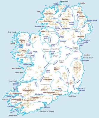
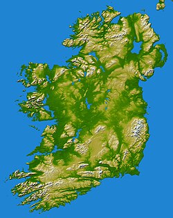
Ireland's landscape is characterized by its diverse topography, ranging from coastal plains to mountainous highlands. The island's geology and climate are heavily influenced by its position in the North Atlantic, resulting in a temperate maritime climate with significant rainfall.
Climate and Weather
The weather in Ireland is known for its variability. Record highs have reached 33.3°C, while record lows have dipped to −19.1°C. This mild but damp environment supports a lush green landscape, though native woodlands have seen a decline over time.
Flora and Fauna
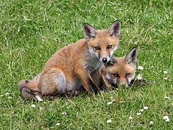
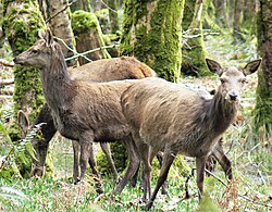
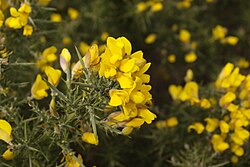
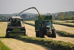
The island is home to various native species, including the red fox (Vulpes vulpes) and red deer (Cervus elaphus). Common vegetation includes furze (Ulex europaeus), and the agricultural landscape is dominated by livestock and silage harvesting.
A Timeline of Irish History
![A 16th-century perception of Irish women and girls, illustrated in the manuscript "Théâtre de tous les peuples et nations de la terre avec leurs habits et ornemens divers, tant anciens que modernes, diligemment depeints au naturel". Painted by Lucas d'Heere in the 2nd half of the 16th century. Preserved in the Ghent University Library.[68]](/images/cf/e6/cfe6df9a9c6b4378ef65e2286d673945f20f02c0b2e8767db73f2ba0f7294bef.jpg)
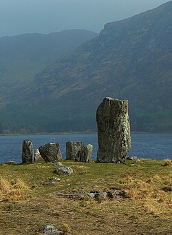
Ireland's history is a complex narrative of migration, conquest, and a persistent struggle for identity. The island's early inhabitants left behind Neolithic stone circles and other prehistoric markers before the arrival of the Celts.
Early Medieval and Norman Eras
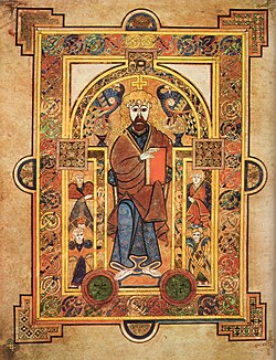
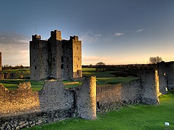
During late antiquity and the early medieval period, Ireland became a center for Gaelic culture and early Christianity, exemplified by masterpieces like the Book of Kells. The 12th century brought the Norman invasions, leading to the construction of massive fortifications such as Trim Castle.
Conflict, Famine, and Partition
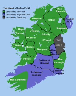
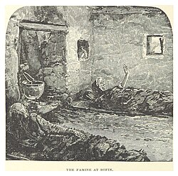
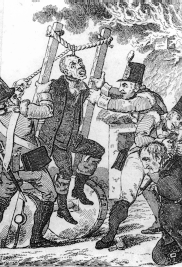
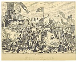
The 16th and 17th centuries were marked by the Plantations of Ireland, where land was confiscated and redistributed. Later, the Great Famine (1845–1849) caused catastrophic depopulation and mass emigration. Political tensions culminated in the 1798 Rebellion and the eventual Union with Great Britain.
The Path to Independence
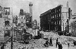
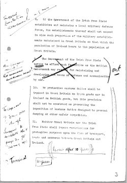
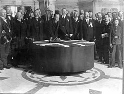
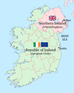
The 20th century saw a drive for Home Rule and independence. The 1916 Easter Rising in Dublin served as a pivotal moment, eventually leading to the Anglo-Irish Treaty. This treaty established the Irish Free State, granting independence to 26 of the 32 counties, while six counties remained as Northern Ireland within the UK.
Demographics and Society
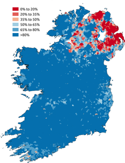
Modern Ireland is a multicultural society, though it remains predominantly White (90%). The population is distributed across several urban centers, with Dublin serving as the largest metropolitan area.
Urban Centers
| City | City Population | Urban Population | Metro Population |
|---|---|---|---|
| Dublin | 592,713 | 1,263,219 | 1,458,154 |
| Belfast | 293,298 | 639,000 | 671,559 |
| Cork | 222,333 | 305,222 | - |
| Limerick | 102,287 | - | - |
| Galway | 85,910 | - | - |
Language and Culture
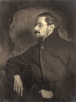
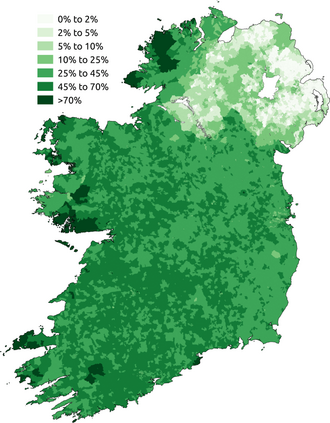
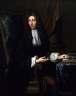
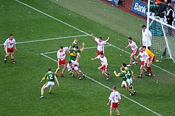
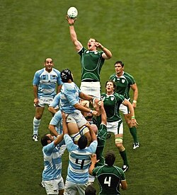
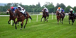
While English is the primary language, the Irish language (Gaeilge) remains a vital symbol of national identity. Cultural contributions are vast, from the literary genius of James Joyce to scientific breakthroughs by Robert Boyle. The island is also renowned for its sports, including Gaelic football and rugby, as well as its traditional music and dance.
Economy and Industry
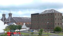
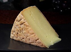
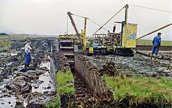
Ireland's economy has evolved from a primarily agricultural base to a modern, diversified system. While turf-cutting and silage harvesting remain part of the rural landscape, the island now hosts significant industries in tourism, energy, and food production, including the famous Old Bushmills Distillery and a resurgence in artisanal cheese making.
Regional Economic Comparison (2018/2023)
The Republic of Ireland's regions show varying GDP levels, with the Eastern and Midland region being the most productive. In Northern Ireland, the GDP was recorded at £63 billion in 2023. Trade remains strong between Northern Ireland and both the UK and the Republic of Ireland.
Frequently Asked Questions
What is the highest point in Ireland?
The highest point in Ireland is Carrauntoohil, which reaches an elevation of 1,041 meters.
How is the island of Ireland politically divided?
The island is divided into the Republic of Ireland (an independent state covering 26 counties) and Northern Ireland (a part of the United Kingdom covering 6 counties).
What was the impact of the Great Famine?
Occurring between 1845 and 1849, the Great Famine led to massive depopulation of the island and triggered waves of mass emigration.
Which are the two largest cities on the island?
The two largest cities are Dublin, the capital of the Republic of Ireland, and Belfast, the largest city in Northern Ireland.
What languages are spoken in Ireland?
English and Irish are the primary languages, though Ulster Scots, Irish Sign Language (ISL), Northern Irish Sign Language (NISL), and Shelta are also present.