East Jerusalem: History, Demographics, and International Status
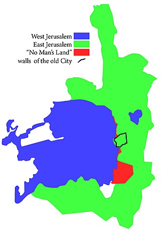
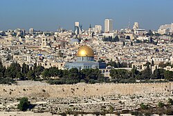
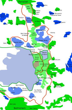
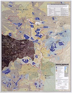
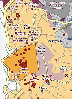
East Jerusalem is the region of Jerusalem located east of the Green Line—the demarcation line established by the armistice agreements following the 1948 Palestine war. This area is of profound global significance, as it encompasses the Old City and numerous sites sacred to Muslims, Christians, and Jews.
Under international law, the United Nations and various intergovernmental organizations consider East Jerusalem to be part of the Palestinian territories and the capital of the State of Palestine, currently under illegal Israeli occupation. While many nations, including China, Russia, and the 57 members of the Organisation of Islamic Cooperation, recognize it as the Palestinian capital, others, such as Spain, Norway, and Ireland, describe it as an occupied territory and the future capital of Palestine.
Key Facts
- Legal Status: Regarded as occupied territory by the UN; unilaterally annexed by Israel in 1980.
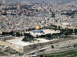
- Key Landmarks: Includes the Old City, the Dome of the Rock, and the Al-Aqsa Mosque.
- Demographics (2020): Total population of 595,000, consisting of 61% Palestinian Arabs and 39% Jewish settlers.
- Historical Control: Held by Jordan from 1948 to 1967 before being captured by Israel.
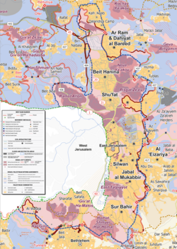
- International View: Israeli settlements in the area are considered illegal under international law.
Historical Evolution
The 1948 War and Jordanian Rule
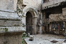
Following the 1948 Palestine war, Jerusalem was divided. West Jerusalem became part of the newly formed State of Israel, while East Jerusalem came under the administration of Jordan. During this period, the city's eastern sector functioned as a distinct entity under Jordanian sovereignty.
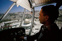
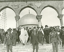
During the 1960s, the area remained a focal point of regional diplomacy and tourism. Notable visits included Saudi King Faisal in 1966 and flights by King Hussein over the Temple Mount in 1965.
Israeli Capture and Annexation
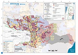
The geopolitical status of the city shifted dramatically during the 1967 Arab–Israeli War, when Israel captured and occupied East Jerusalem. In 1980, Israel took the step of unilaterally annexing the territory, a move not recognized by the majority of the international community.
Urban Planning and Territorial Changes
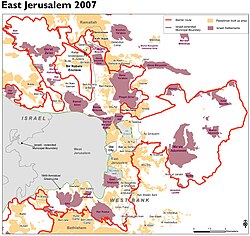
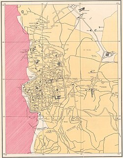
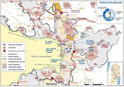
The physical and administrative landscape of East Jerusalem has been shaped by various planning schemes. One of the earliest was William McLean's 1918 plan, which laid the groundwork for the division between the east and west of the city. In more recent decades, the construction of the Israeli West Bank barrier has further modified the area's accessibility and zoning.
![William McLean's 1918 plan was the first urban planning scheme for Jerusalem. It laid the foundations for what became West Jerusalem and East Jerusalem.[26]](/images/79/a5/79a57df800292096f06ef44b69fa88f0e750fe800843b3b5ba557c28f815ed96.jpg)
Demographics and Society
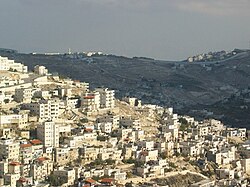
The population of East Jerusalem has seen significant shifts over the decades. By June 1993, the area reached a demographic tipping point where the Jewish population (155,000) slightly outnumbered the Palestinian population (150,000). However, more recent data shows a different distribution.
| Year | Total Population | Palestinian Arab (%) | Jewish Settler (%) |
|---|---|---|---|
| 2016 | 542,400 | 60.4% (327,700) | 39.6% (214,600) |
| 2020 | 595,000 | 61% (361,700) | 39% (234,000) |
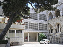
The social infrastructure includes various educational institutions, such as Schmidt's Girls College, which serves the local community.
Governance and Administration
Historically, East Jerusalem was led by a series of mayors during the Jordanian period and the subsequent transition. These leaders included Anwar Khatib (1948–1950) and Ruhi al-Khatib, who served from 1957 until 1967 and continued as a titular mayor until 1994.
Frequently Asked Questions
What is the Green Line?
The Green Line is the demarcation line established by the 1948 armistice agreements, which separates West Jerusalem (Israel) from East Jerusalem.
What is the international legal status of East Jerusalem?
The United Nations and most intergovernmental organizations consider East Jerusalem to be occupied Palestinian territory and the capital of the State of Palestine.
When did Israel annex East Jerusalem?
Israel captured East Jerusalem during the 1967 Arab–Israeli War and unilaterally annexed it in 1980.
Are the settlements in East Jerusalem legal?
According to international law and the consensus of the international community, Israeli settlements in East Jerusalem are considered illegal.
Who currently lives in East Jerusalem?
As of 2020, the population consists of approximately 595,000 people, with Palestinian Arabs making up 61% and Jewish settlers making up 39% of the inhabitants.