West Bank: Geography, Administration, and Demographics
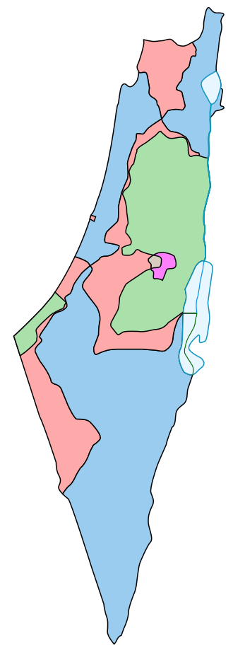
The West Bank is a landlocked territory located in the Levant, claimed by Palestine and currently under a complex system of administration and occupation. Spanning approximately 5,655 square kilometers, it is a region of immense historical, religious, and political significance, serving as a home to diverse populations of Muslims, Jews, Christians, and Samaritans.
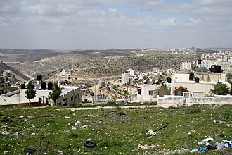
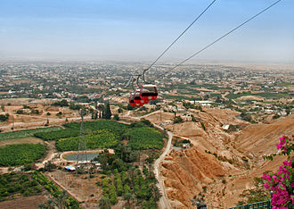
The region is characterized by its varied landscape, from the fertile valleys of the Jordan Rift Valley to the rugged peaks of the Judaean Mountains.
Key Facts
- Total Area: 5,655 km² (2,183 sq mi).
- Estimated Population: 2,949,246 (2021 estimate).
- Primary Languages: Arabic and Hebrew.
- Currencies Used: Israeli shekel (ILS) and Jordanian dinar (JOD).
- Administrative Status: Partially administered by the Palestinian National Authority; under Israeli military occupation.
Political Administration and Status
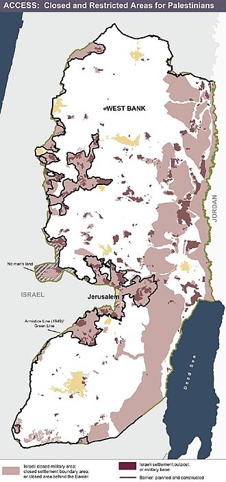
The administration of the West Bank is divided into several distinct zones, largely defined by the Oslo II Accord. This division determines who controls security and civil affairs in different parts of the territory.
The Palestinian Enclaves (Areas A and B)
The Palestinian National Authority (PNA) exercises varying degrees of control over these areas. Area A is under full Palestinian civil and security control, while Area B involves Palestinian civil administration but Israeli security control.
Area C and Israeli Control
Area C constitutes the largest portion of the West Bank (61% of the land). It is under full Israeli military and civil administration. This area contains the majority of Israeli settlements and is a focal point of international legal disputes regarding the Fourth Geneva Convention.
East Jerusalem
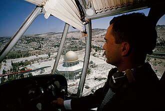
East Jerusalem is administered by Israel. While most of the international community views it as occupied territory, a small number of countries, including the United States, recognize Israeli sovereignty over the city.
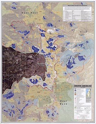
Geography and Infrastructure
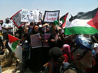
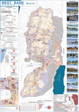
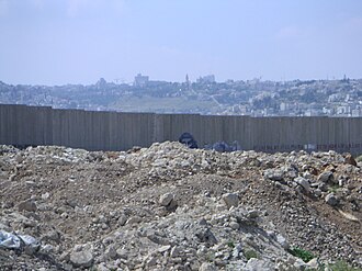
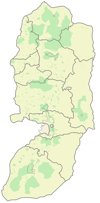
The West Bank is divided into several governorates, with Hebron being the most populous. The region's infrastructure is heavily influenced by the West Bank barrier, a system of fences and walls that restricts movement between Palestinian population centers and Israeli-controlled areas.
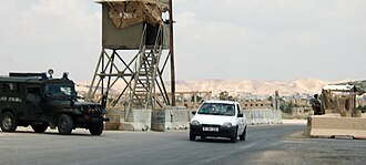
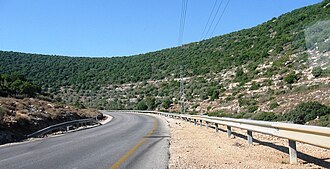
Transportation is primarily road-based, with a complex network of checkpoints that regulate the flow of people and goods. For example, checkpoints are common when entering cities like Jericho.
Administrative Divisions
The territory is organized into governorates to manage local populations and services. The following table summarizes the primary administrative divisions.
| Governorate | Population | Area (km²) |
|---|---|---|
| Hebron | 706,508 | 1,060 |
| Jerusalem | 419,108 | 344 |
| Nablus | 380,961 | 592 |
| Ramallah and Al-Bireh | 348,110 | 844 |
| Jenin | 311,231 | 583 |
| Bethlehem | 216,114 | 644 |
| Tulkarm | 182,053 | 239 |
| Qalqilya | 110,800 | 164 |
| Salfit | 70,727 | 191 |
| Tubas | 64,719 | 372 |
| Jericho | 52,154 | 608 |
Demographics and Society
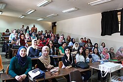
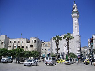
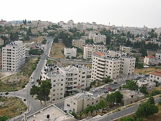
The population of the West Bank is a mix of Palestinians and Israeli settlers. Major urban centers include East Jerusalem, Hebron, and Nablus. The region is also home to significant educational institutions, with seven universities operating across the territory, including Birzeit University.
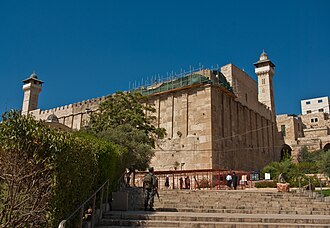
Religious life is central to the region's identity. The Cave of the Patriarchs remains one of the most prominent holy sites, reflecting the area's deep spiritual importance to multiple faiths.
Frequently Asked Questions

What are Areas A, B, and C?
These are administrative divisions created by the Oslo II Accord. Area A is under Palestinian civil and security control; Area B is under Palestinian civil and Israeli security control; and Area C is under full Israeli military and civil control.
Who administers the West Bank?
The territory is partially administered by the Palestinian National Authority (in Areas A and B) and is under Israeli military occupation, particularly in Area C and East Jerusalem.
What is the West Bank barrier?
The West Bank barrier is a complex of walls and fences constructed by Israel, which has significant impacts on the movement of Palestinians and the accessibility of land.
Which currencies are used in the West Bank?
The region primarily uses the Israeli shekel (ILS) and the Jordanian dinar (JOD).
What are the largest cities in the West Bank?
The largest population centers include East Jerusalem, Hebron, and Nablus.