Gaza Strip
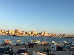
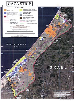
The Gaza Strip is a small coastal territory located on the eastern coast of the Mediterranean Sea. Recognized by 157 UN member states as part of the State of Palestine, it is one of the most densely populated areas in the world. The region is characterized by a complex political status, currently consisting of approximately 70% Israeli military occupation, with the remainder under the de facto control of Hamas. Under UNSC Resolution 2803, it falls under the temporary mandate of the National Committee for the Administration of Gaza.
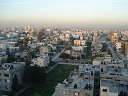
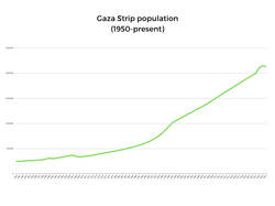
With its capital and largest city, Gaza City, the strip serves as a focal point of regional geopolitical tension and humanitarian concern. Its population, estimated at approximately 2,050,000 as of 2025, lives within a total area of just 365 square kilometers.
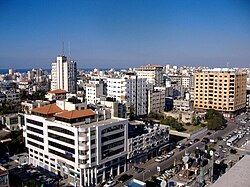
Key Facts
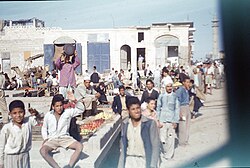
- Total Area: 365 km² (141 sq mi).
- Population Density: 5,967.5 people per km².
- Official Language: Arabic.
- Primary Religion: Sunni Islam (99%), with a small Christian minority (<1%).
- Currency: Israeli new shekel and Egyptian pound.
- Administrative Center: Gaza City.
Historical Timeline
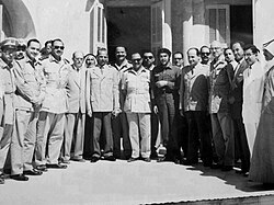
Early Conflict and Displacement (1948–1967)
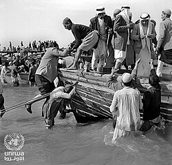
The modern history of the Gaza Strip is deeply tied to the 1948 war, which saw a massive influx of Palestine refugees into the territory.
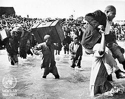
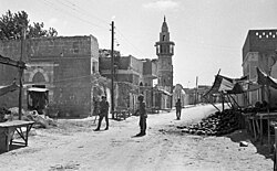
Following the 1948 war, the region saw various periods of administration. Between 1948 and 1959, it was associated with the All-Palestine government. This was followed by a brief Israeli occupation from 1956 to 1957, and subsequently an Egyptian occupation that lasted from 1959 until 1967.
Israeli Occupation and the Intifadas (1967–2005)
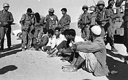
In 1967, Israel occupied the Gaza Strip. This period was marked by the establishment of Israeli settlements and increasing friction between the military administration and the local population.
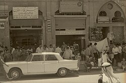
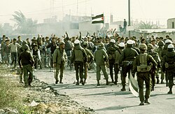
The First Intifada (a Palestinian uprising) began in 1987, followed by the Second Intifada in 2000. Both periods were characterized by widespread protests and violent clashes.
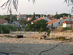
In 2005, Israel implemented a unilateral disengagement, removing its permanent military presence and settlements from the interior of the strip.
Hamas Takeover and Blockade (2006–Present)
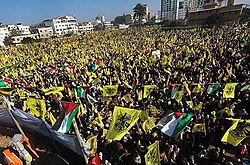
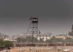
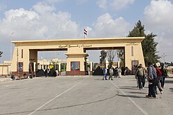
Following elections in 2006, Hamas took control of the Gaza Strip, leading to a conflict with the Fatah party in 2007. This political shift resulted in a strict blockade imposed by Israel and Egypt, limiting the movement of people and goods.
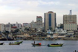
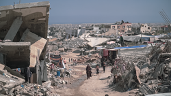
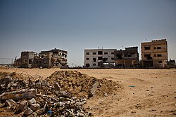
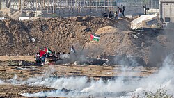
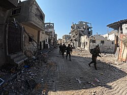
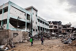
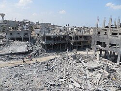
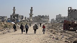
The region has since endured multiple wars and crises, including the 2008-2009 Gaza War, the 2014 Gaza War, and the Great March of Return protests in 2018-2019. Most recently, the period from 2023 to 2025 has been marked by an intense war, followed by the introduction of a Gaza peace plan in 2025.
Geography and Administration
Territorial Divisions
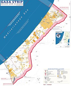
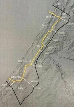
The Gaza Strip is divided into five governorates for administrative purposes:
- Gaza Governorate
- North Gaza Governorate
- Deir al-Balah Governorate
- Khan Yunis Governorate
- Rafah Governorate
Environmental and Economic Challenges
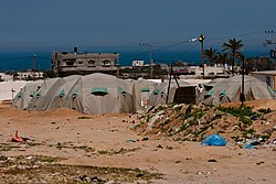
The economy of Gaza is heavily impacted by the blockade, with many residents relying on international aid. The territory faces significant environmental issues, including limited access to clean water and restricted fishing zones.
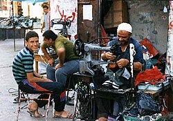
Demographics and Culture
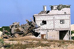
Society and Religion
The population is predominantly Palestinian Arab. While Sunni Islam is the official and dominant religion (98-99%), there is a historic Christian community (approximately 1%) that has faced significant challenges in recent years.
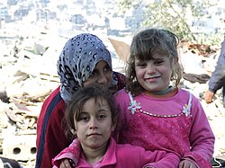
Education and Health
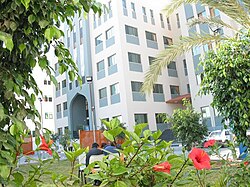
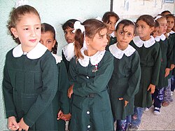
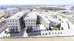
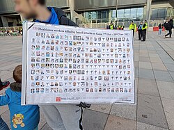
Despite the conflict, Gaza has maintained educational institutions such as the University College of Applied Sciences. Healthcare is provided through various facilities, including the Turkish-Palestinian Friendship Hospital, though the system is often strained by war and resource shortages.
Archaeology and Heritage
Gaza possesses a rich archaeological history spanning several eras. Notable sites include:
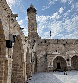
- The Great Mosque of Gaza: A Mamluk-period mosque dating back to the 7th century CE.
- Church of Saint Porphyrius: Featuring elements from the Crusader period.
- Tell el-Ajjul: A Bronze Age tell (archaeological mound).
- Al-Moghraqa: A Bronze Age settlement.
Summary Table
| Category | Details |
|---|---|
| Area | 365 km² |
| Estimated Population (2025) | ~2,050,000 |
| Capital | Gaza City |
| Official Language | Arabic |
| Primary Religions | Sunni Islam (99%), Christianity (<1%) |
| Administrative Status | Mixed Israeli military occupation and Hamas control |
Frequently Asked Questions
What is the current political status of the Gaza Strip?
As of 2025, approximately 70% of the Gaza Strip is under Israeli military occupation, while the remainder is de facto controlled by Hamas. It is also under the temporary mandate of the National Committee for the Administration of Gaza per UNSC Resolution 2803.
Who are the primary ethnic and religious groups in Gaza?
The population consists almost entirely of Palestinian Arabs. Religiously, the vast majority (99%) are Sunni Muslims, with a small minority (less than 1%) identifying as Christian.
What are the main administrative divisions of the territory?
The Gaza Strip is divided into five governorates: Gaza, North Gaza, Deir al-Balah, Khan Yunis, and Rafah.
What is the significance of the Great Mosque of Gaza?
The Great Mosque of Gaza is the oldest mosque in the city, dating back to the 7th century CE. It is a significant historical site from the Mamluk period, though it has suffered destruction during recent conflicts.
How does the population density of Gaza compare to other areas?
Gaza is one of the most densely populated places on Earth, with approximately 5,967.5 people per square kilometer.