Danube River: Europe's Mighty Waterway from the Black Forest to the Black Sea
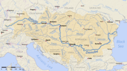
The Danube is one of the world's most significant river systems, serving as a vital artery for trade, culture, and ecology across Central and Eastern Europe. Flowing from the highlands of Germany to the shores of the Black Sea, it is the second-longest river in Europe, traversing ten different countries and connecting several of the continent's most historic capitals.
The river's name is derived from the Latin Danubius, a root that persists in the native names used by the various nations it touches, such as the German Donau and the Slavic Dunaj.
Key Facts
- Total Length: Approximately 2,850 km (1,770 mi).
- Basin Size: 801,463 km² (309,447 sq mi).
- Countries Traversed: Germany, Austria, Slovakia, Hungary, Croatia, Serbia, Bulgaria, Romania, Moldova, and Ukraine.
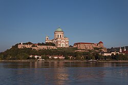
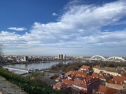
- Major Capitals: Vienna, Bratislava, Budapest, and Belgrade.
- Final Destination: The Black Sea via the Danube Delta.
The Journey from Source to Sea
The Upper Danube: Origins in the Black Forest
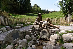
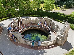
The Danube begins in the Black Forest region of Germany. While the hydrogeographical source is identified at the Bregquelle (the source of the Breg), the river is symbolically recognized at Donaueschingen, where the Brigach and Breg rivers join to form the Danube.
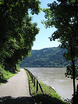
In its upper reaches, the river is relatively narrow. A notable geographical feature in this section is the Schlögener Schlinge, a dramatic water gap in the Bohemian Massif that is a popular highlight for tourists and cyclists.
The Middle Danube: Capitals and Confluences
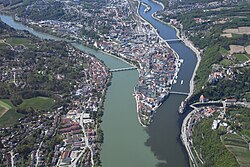
As the river flows through Austria, Slovakia, and Hungary, it expands significantly. In Passau, Germany, the Danube meets the Inn and Ilz rivers in a striking three-color confluence.
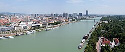
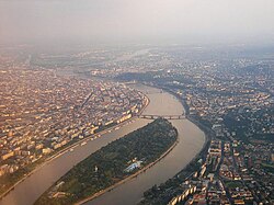
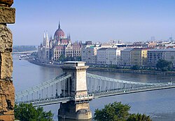
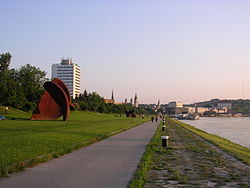
This section is defined by its urban centers. It flows through Vienna, the capital of Austria, and Bratislava, the capital of Slovakia, before reaching Budapest, Hungary. In Budapest, the river is a central architectural feature, with 15 bridges crossing its waters and the scenic Margaret Island situated in its flow.
The Lower Danube: The Iron Gates and the Delta
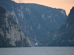
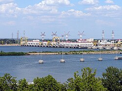
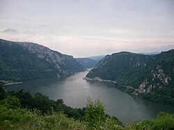
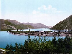
Entering the lower reaches, the river passes through Serbia, Bulgaria, Romania, and Ukraine. One of the most formidable sections is the Iron Gates, a series of gorges on the border between Serbia and Romania. This area is now home to major hydroelectric power stations, though the construction of these plants in 1970 led to the submergence of historic sites like Ada Kaleh island.
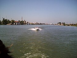
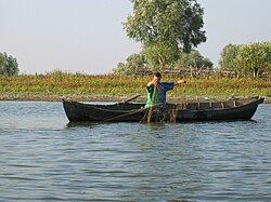
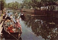
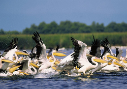
The river's journey concludes in the Danube Delta, a vast biosphere reserve shared by Romania and Ukraine. This wetland is a critical habitat for wildlife, including pelicans, and supports traditional fishing communities, such as the Russian-speaking Lipovans.
Hydrology and Basin Characteristics
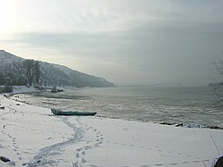
The Danube's discharge—the volume of water moving through the river—increases dramatically as it collects water from numerous tributaries. The Tisza stands as the longest tributary of the river. Other major contributors include the Sava, which joins the Danube at Belgrade, and the Drava.
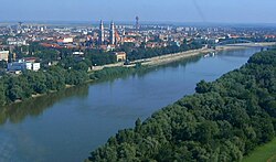
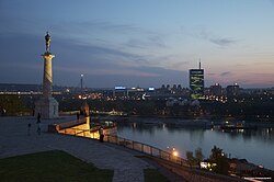
The river's depth and width vary by region. In the Upper Danube, the average depth is only 1 meter, but it reaches up to 90 meters in the depths of the Iron Gates. The average annual discharge at the delta is approximately 6,452 m³/s, though this fluctuates significantly by year.
| Country | Percentage of Basin Area | Key Feature/City |
|---|---|---|
| Romania | 29% | Danube Delta |
| Hungary | 11.6% | Budapest |
| Serbia | 10.2% | Belgrade |
| Austria | 10% | Vienna |
| Germany | 7% | Donaueschingen (Source) |
| Slovakia | 5.9% | Bratislava |
| Bulgaria | 5.9% | Nikopol |
| Croatia | 4.4% | Border regions |
| Ukraine | 3.8% | Danube Delta |
| Moldova | 1.6% | Border regions |
Culture, History, and Recreation
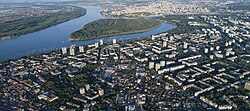
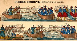
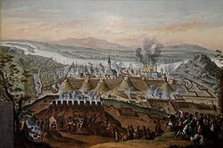
Throughout history, the Danube has been a site of both conflict and commerce. It was a strategic frontier during the Crimean War and a focal point for the Holy League's siege of Buda in 1686. Today, the river is more commonly associated with leisure and tourism.
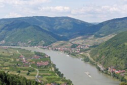
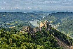
The Danube Bike Trail is one of Europe's most popular cycling routes, stretching from the source in Germany to the Black Sea. Hikers also frequent the Donausteig trail, while the Wachau Valley in Austria remains a premier destination for its landscapes and vineyards.
Frequently Asked Questions
Which countries does the Danube River flow through?
The Danube flows through or borders ten countries: Germany, Austria, Slovakia, Hungary, Croatia, Serbia, Bulgaria, Romania, Moldova, and Ukraine.
What are the main capitals located on the Danube?
The river passes through four national capitals: Vienna (Austria), Bratislava (Slovakia), Budapest (Hungary), and Belgrade (Serbia).
What is the Iron Gates?
The Iron Gates are a series of gorges on the border between Serbia and Romania. They are known for their depth and the presence of large hydroelectric power stations.
Where does the Danube River end?
The Danube ends in the Danube Delta, a large wetland area in Romania and Ukraine, where it empties into the Black Sea.
What is the longest tributary of the Danube?
The Tisza is the longest tributary of the Danube river system.