Constellations: The History and Science of Celestial Mapping
For millennia, humans have looked to the night sky and seen patterns in the stars. These groupings, known as constellations, serve as more than just artistic interpretations of the cosmos; they are essential tools for navigation, timekeeping, and astronomical mapping. From the ancient clay tablets of Mesopotamia to the precise digital boundaries of the modern era, the way we divide the sky reflects both our scientific progress and our cultural heritage.
At its most basic level, a constellation is a region of the celestial sphere—the imaginary sphere of stars surrounding Earth. While the stars within a constellation may appear close to one another from our perspective, they are often separated by vast distances in three-dimensional space.
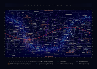
Key Facts
- There are 88 officially recognized constellations defined by the International Astronomical Union (IAU).
- The zodiac consists of 12 or 13 constellations that lie along the ecliptic, the apparent path of the Sun.
- Circumpolar constellations are those that never set below the horizon from a specific latitude.
- The modern boundary system was established in 1928 to ensure every point in the sky belongs to exactly one constellation.
- The earliest accepted evidence of constellation identification dates back to 3000 BC in Mesopotamia.
The Evolution of Celestial Mapping
Ancient Origins
The practice of identifying constellations began in Mesopotamia (modern-day Iraq), with inscribed stones and clay tablets dating to 3000 BC. A significant portion of these early groupings was established between 1300 and 1000 BC, many of which later influenced classical Greek astronomy.

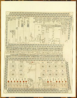
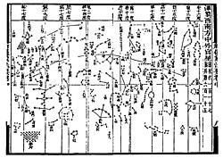
In other parts of the world, early civilizations developed their own systems. Ancient Egyptians used star charts and decanal clocks to track time and celestial movements, while ancient Chinese astronomers developed sophisticated maps, including cylindrical projections.
Classical Antiquity and the Zodiac
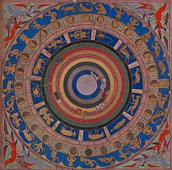
Much of Western astronomical tradition stems from Greece, with constellations mentioned in the works of Hesiod, Eudoxus, and Aratus. The Greco-Roman astronomer Ptolemy later codified 48 traditional constellations in his influential work, the Almagest. This list included the zodiac, a set of constellations straddling the ecliptic (the path the Sun, Moon, and planets traverse).
The zodiac's astrological divisions became prominent around 400 BC in Babylonian or Chaldean astronomy. These patterns were often intertwined with mythology, most notably in the Metamorphoses by the Latin poet Ovid.
Expanding the Map: The Southern Sky
Because Ptolemy and the ancient Greeks lived in the Northern Hemisphere, many stars in the far south remained undocumented. It wasn't until the 15th century, as European explorers traveled south, that these regions were mapped. In the late 16th century, Petrus Plancius introduced new constellations based on observations by Dutch navigators Pieter Dirkszoon Keyser and Frederick de Houtman.
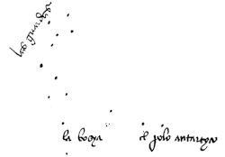
Further refinements occurred in 1752 when French astronomer Nicolas Louis de Lacaille created 14 new constellations while observing from the Cape of Good Hope. Using a refracting telescope with a 0.5-inch (13 mm) aperture, Lacaille observed over 10,000 stars and divided the massive ancient constellation Argo Navis into three smaller ones.

Modern Standardization by the IAU
To eliminate confusion and overlap, the International Astronomical Union (IAU) formally accepted a list of 88 constellations in 1922. While the names were largely based on the Graeco-Roman predecessors, the boundaries were the primary innovation. In 1928, Eugene Delporte developed contiguous boundaries based on right ascension and declination, effectively turning the sky into a grid of 88 distinct fields.
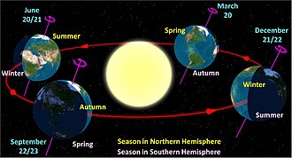
This system allows astronomers to use the constellation name as a geographical marker. For example, the Flamsteed designation of a star uses a number combined with the genitive form of its constellation's name to pinpoint its location.
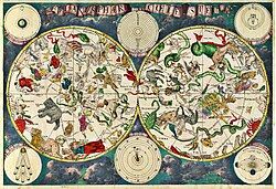
Terminology and Observation
Astronomers use specific terms to describe how constellations appear based on Earth's geography:
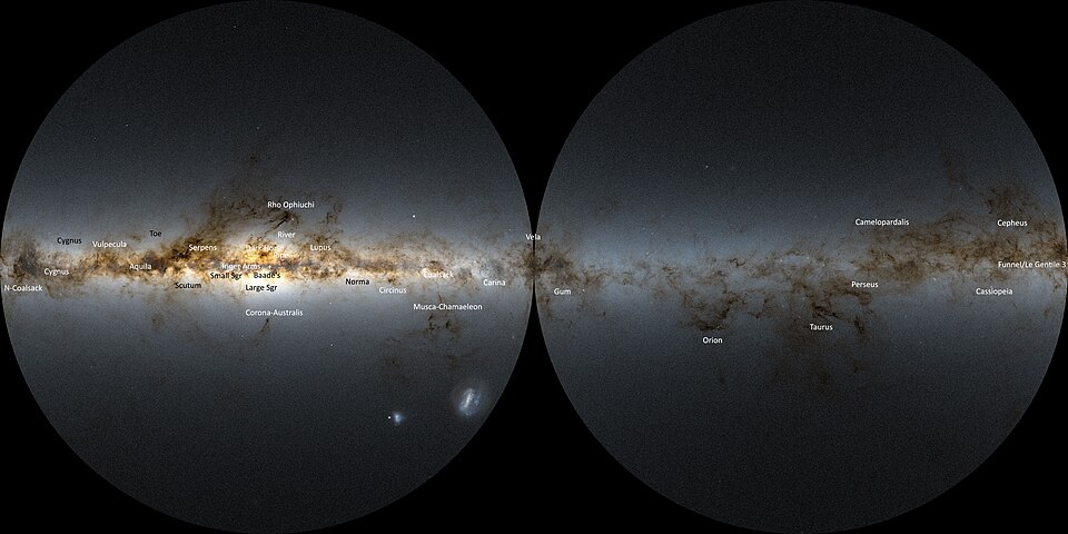
- Circumpolar: Stars or constellations that never set below the horizon. At the North or South Pole, all constellations on the respective side of the celestial equator are circumpolar.
- Equatorial: Constellations located between 45° north and 45° south declination, or those passing through the zodiac range (23.5° north to 23.5° south).
Summary of Constellation Development
| Era/Date | Key Contributor | Major Contribution |
|---|---|---|
| c. 3000 BC | Mesopotamians | Earliest accepted identification of constellations. |
| 2nd Century AD | Ptolemy | Listed 48 traditional constellations in the Almagest. |
| Late 16th Century | Petrus Plancius | Introduced southern constellations via Dutch navigators. |
| 1752–1756 | Nicolas Louis de Lacaille | Added 14 southern constellations; split Argo Navis. |
| 1922–1930 | IAU / Eugene Delporte | Standardized 88 constellations with precise boundaries. |
Frequently Asked Questions
What is the difference between a constellation and the zodiac?
A constellation is any of the 88 officially recognized areas of the sky. The zodiac is a specific subset of these constellations that lie along the ecliptic, the apparent path the Sun follows across the celestial sphere over the course of a year.
Why were the southern constellations added so much later?
Ancient astronomers in Greece and Mesopotamia could not see the stars of the far Southern Hemisphere due to the curvature of the Earth. These stars were only mapped once European explorers began sailing into the Southern Hemisphere starting in the 15th century.
What does it mean for a constellation to be circumpolar?
A constellation is circumpolar if it is located close enough to one of the Earth's poles that it never dips below the horizon from the observer's perspective, meaning it is visible every night of the year.
How are modern constellation boundaries determined?
Modern boundaries are not based on the shapes of the figures, but on a coordinate system of right ascension and declination. This ensures that every single point in the sky belongs to exactly one constellation, facilitating precise area-mapping for astronomers.