Black Forest: Germany's Iconic Mountain Range and Cultural Heartland
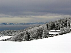
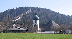
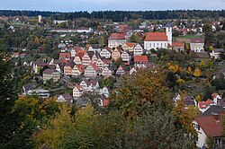
The Black Forest (Schwarzwald) is a sprawling, densely wooded mountain range in the state of Baden-Württemberg, Germany. Stretching over 160 kilometers from the High Rhine in the south to the Kraichgau in the north, it represents a surviving fragment of the ancient Hercynian Forest. Known for its dramatic topography, deep valleys, and rich cultural heritage, the region is a cornerstone of German natural beauty and traditional craftsmanship.
Historically viewed as an unsettled and virtually inaccessible terrain, the Black Forest has evolved into one of Europe's premier destinations for nature lovers and cultural enthusiasts.
Key Facts
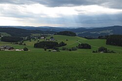
- Highest Peak: Feldberg, reaching an elevation of 1,493 meters (4,898 ft).
- Total Area: Approximately 6,000 square kilometers (2,300 sq mi).
- Primary Geology: Composed mainly of gneiss and Bunter sandstone.
- Major Industries: Tourism, precision engineering (clockmaking), and hydropower.
- Conservation: Home to two of Germany's largest nature parks.
Geography and Natural Regions
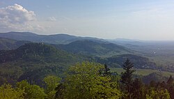
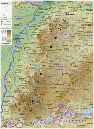
The Black Forest is bounded by the Upper Rhine Plain to the west and transitions into the Gäu, Baar, and hill country to the east. The range varies in width, reaching 50 kilometers in the south and 30 kilometers in the north. It is divided into several distinct natural regions, each with varying levels of forest cover and population density.
| Natural Region | Area (km²) | Forest Cover (%) | Major Population Centres |
|---|---|---|---|
| Black Forest Foothills | 930 | 62.92% | Pforzheim, Calw, Freudenstadt |
| Black Forest Grinden and Enz Hills | 699 | 91.51% | - |
| Northern Black Forest Valleys | 562 | 76.41% | Baden-Baden, Gaggenau, Gernsbach |
| Central Black Forest | 1,422 | 66.39% | Haslach, Hausach, Wolfach, Schramberg |
| Southeastern Black Forest | 558 | 64.49% | Villingen-Schwenningen |
| High Black Forest | 1,990 | 70.31% | Schopfheim, Titisee-Neustadt |
Mountains and Topography
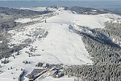
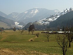
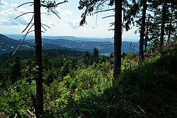
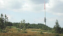
The Southern Black Forest contains the range's highest summits, including the Feldberg (1,493 m), Herzogenhorn (1,415 m), and Belchen (1,414 m). In the north, the Hornisgrinde stands as the highest peak at 1,163 m. Other notable lookout mountains include the Schauinsland and Blauen.
Hydrology: Rivers and Lakes
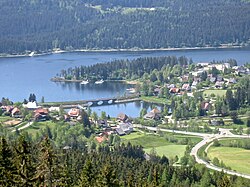
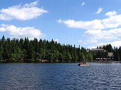
The region is a vital watershed. Major rivers include the Enz (105 km), Kinzig (93 km), and the headstreams of the Danube, such as the Breg and Brigach. The landscape is also dotted with significant bodies of water, including the Schluchsee and the Mummelsee.
Climate and Biodiversity
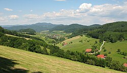
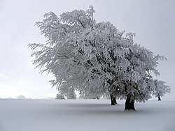
The climate is characterized by significant rainfall, particularly in the highlands. Areas around the Hornisgrinde, Belchen, and Feldberg receive between 1,800 and 2,100 mm of annual precipitation. The Northern Black Forest also sees high rainfall due to Atlantic westerlies, while the east side of the Central Black Forest remains much drier, averaging about 750 L/m.
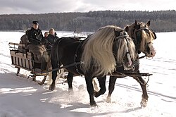
The region's unique environment supports rare fauna, including the Hinterwälder cattle, the Black Forest Horse (an endangered draft breed), and the Lumbricus badensis, a giant earthworm found exclusively in this region.
Culture and Traditional Craftsmanship
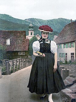
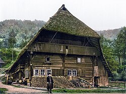
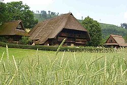
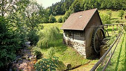
The Black Forest is world-renowned for its distinct cultural identity. This is most visible in its traditional costumes, such as the Bollenhut (a hat with red pom-poms worn by unmarried women), and its architectural heritage, characterized by steep-roofed farmhouses designed to withstand heavy winter snow.
Horology and Art
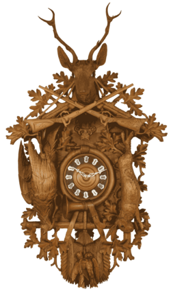
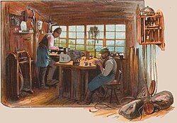
The region is the birthplace of the cuckoo clock, a symbol of Black Forest precision engineering and woodworking. This tradition of craftsmanship extends to jewelry and fine mechanics. Artistically, the region has inspired painters like Hans Thoma and writers such as the Nobel laureate Hermann Hesse, who was born in Calw.
Gastronomy and Traditions
Culinary specialties include the world-famous Black Forest cake (Schwarzwälder Kirschtorte) and savory Black Forest ham. The region also maintains the tradition of Fasnet (Carnival), featuring elaborate costumes and parades.
Economy and Infrastructure
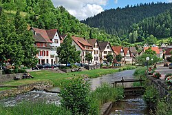
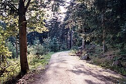
Tourism is the primary economic driver, supporting approximately 140,000 direct full-time jobs. The region offers an extensive network of over 23,000 kilometers of hiking trails, maintained by the Black Forest Club (Schwarzwaldverein). Popular long-distance routes include the Westweg, Mittelweg, and Ostweg.
Industry and Energy
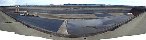
Historically, the region relied on non-ferrous metal mining and forestry. Today, it is a hub for hydropower, utilizing run-of-the-river plants and pumped storage stations, such as the Schluchseewerk and the Hornberg Basin.
Frequently Asked Questions

What is the highest mountain in the Black Forest?
The highest point is the Feldberg, which reaches an elevation of 1,493 meters (4,898 ft) above sea level.
What are the most famous cultural symbols of the region?
The most iconic symbols include the cuckoo clock, the Bollenhut (traditional pom-pom hat), and the Black Forest cake.
Which nature parks protect the Black Forest?
The region is protected by the Southern Black Forest Nature Park (Germany's largest) and the Central/North Black Forest Nature Park.
What is the significance of the Bollenhut?
The Bollenhut is a traditional costume piece; specifically, the red pom-poms are worn by unmarried women in certain villages.
How extensive is the hiking network in the Black Forest?
The region boasts a massive network of approximately 23,000 kilometers of tracks, overseen by the Black Forest Club.