Mauritania: A Journey Through the Heart of the Sahara
Spanning a vast expanse of the Sahara Desert, the Islamic Republic of Mauritania is a nation defined by its resilient spirit, deep religious roots, and a landscape that shifts from golden dunes to ancient scholarly hubs. Located at the crossroads of North and West Africa, Mauritania offers a unique tapestry of ethnic diversity and historical significance that has shaped the region for centuries.
From its colonial past to its modern political landscape, understanding Mauritania requires looking at both its sweeping topography and the complex social fabric of its people. Whether exploring the bustling streets of its capital or the quiet sanctity of desert libraries, the country presents a profound connection between human history and the natural world.
Key Facts
- Capital: Nouakchott
- Official Language: Arabic
- Official Religion: Sunni Islam
- Total Area: 1,030,000 km²
- Currency: Ouguiya (MRU)
- Independence: 28 November 1960 (from France)
Geography and Administrative Structure
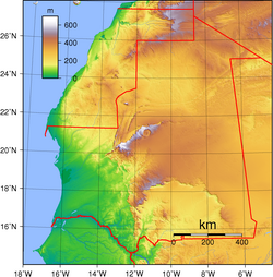
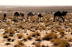
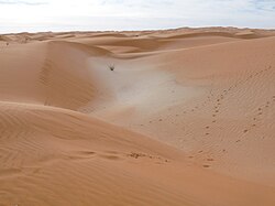
Mauritania is characterized by its immense size and arid climate. The country is divided into twelve distinct regions and one capital district. The landscape is dominated by the Sahara, featuring vast sandy areas and significant geological formations like the Richat Structure.
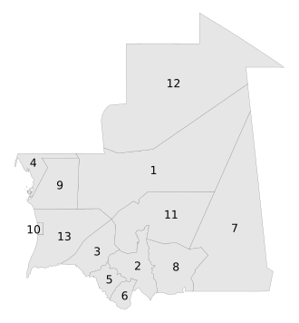
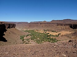
The administrative divisions are organized to manage the diverse terrain, ranging from the coastal areas near Nouadhibou to the mountainous Adrar Plateau. Key regions include Adrar, Assaba, Brakna, and Tiris Zemmour, each serving as a vital part of the nation's territorial integrity.
Major Cities and Urban Centers
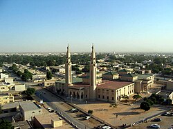
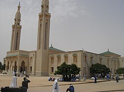
While much of the country is sparsely populated, several urban centers serve as hubs for commerce and administration. Nouakchott, the capital and largest city, is a major metropolitan area within the Sahara. Other significant towns include Nouadhibou, Kiffa, and Zouérat.
The population is distributed unevenly, with higher densities found in coastal and southern regions, while the interior remains largely desert. This distribution influences everything from local trade to the movement of nomadic communities.
Historical Evolution
The history of Mauritania is a complex narrative of trade, empire, and colonial influence. Long before modern borders were drawn, the region was a vital corridor for trans-Saharan trade and a center for Islamic learning.
Colonial Era and Independence
The coastal areas saw significant European interest, notably with the Portuguese Empire establishing a feitoria (trading post) at Arguin in 1445. Over the centuries, control of various territories shifted between the Portuguese, the Dutch, and the French.
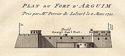
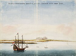
Mauritania eventually became a French colony before achieving independence on 28 November 1960. Since then, the nation has navigated various periods of military rule and constitutional shifts, moving toward its current status as a unitary semi-presidential Islamic republic.
Political Landscape
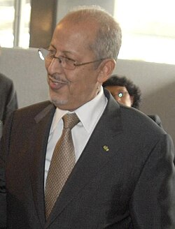
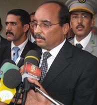
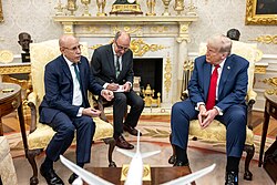
The modern government is led by President Mohamed Ould Ghazouani. The political history of the country has been marked by several transitions, including various military coups and periods of democratic reform, reflecting the ongoing evolution of its governance structures.
Culture, Religion, and Society
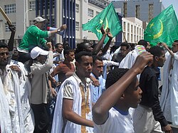
Religion plays a central role in Mauritanian life, with Sunni Islam being the official religion practiced by 99.9% of the population. This spiritual foundation is deeply integrated into the country's legal and social frameworks.
Islamic Scholarship and Heritage
Mauritania has a long-standing reputation as a center of Islamic scholarship. The town of Chinguetti, in particular, is renowned for its historical importance and its preservation of ancient manuscripts.
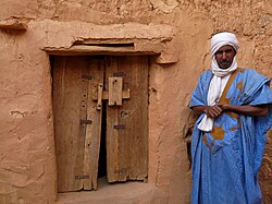
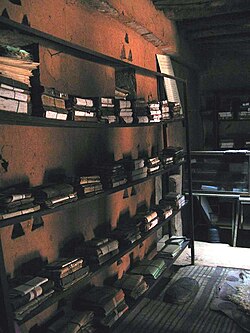
These scholarly traditions are part of a broader cultural heritage that includes traditional music, literature, and handicrafts, all of which contribute to the unique Mauritanian identity.
Demographics and Ethnic Diversity
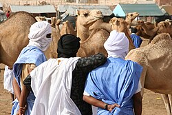
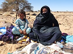
The Mauritanian people are composed of several ethnic groups, creating a diverse social landscape. The population includes Haratin (40%), Beidane (30%), and various other groups such as the Halpulaar, Fulani, Soninké, and Wolof (30%).
Economic Overview
The Mauritanian economy is influenced by its natural resources and its position within the regional trade network. While the country faces challenges related to development, it maintains a growing economic presence in West Africa.
| Indicator | Value (Nominal) | Value (PPP) |
|---|---|---|
| Total GDP | $11.470 billion | $40.060 billion |
| GDP Per Capita | $2,480 | $8,650 |
Frequently Asked Questions
What is the official language of Mauritania?
The official language is Arabic. However, several national languages are recognized, including Pulaar, Soninke, Wolof, and Zenaga.
What are the main ethnic groups in Mauritania?
The population is primarily composed of Haratin (40%), Beidane (30%), and a combination of Halpulaar, Fulani, Soninké, and Wolof (30%).
What is the capital of Mauritania?
The capital and largest city of Mauritania is Nouakchott.
When did Mauritania gain independence?
Mauritania gained its independence from France on 28 November 1960.
What is the primary religion in the country?
The official religion is Sunni Islam, which is practiced by approximately 99.9% of the population.