North America: Geography, Economy, and Cultural Evolution
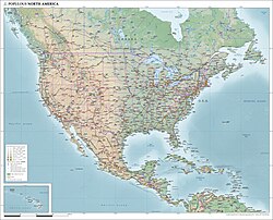
North America is a continent of immense scale and diversity, spanning from the Arctic reaches of Greenland to the tropical landscapes of Central America. Covering approximately 24.709 million square kilometers, it ranks as the third-largest continent by area. With a population of over 592 million people as of 2021, it is a global powerhouse in terms of economic output and cultural influence.
Key Facts
- Total Area: 24.709 million km² (3rd largest globally).
- Population: 592,296,233 (2021).
- Economic Power: Estimated nominal GDP of US$34.61 trillion (2025 est.).
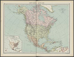
- Political Structure: Comprises 23 sovereign states and 23 non-sovereign territories.
- Major Languages: English, Spanish, French, Dutch, Danish, and various indigenous languages.
- Dominant Religion: Christianity (74.6%).
Historical Evolution
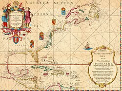
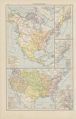
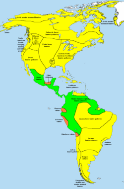
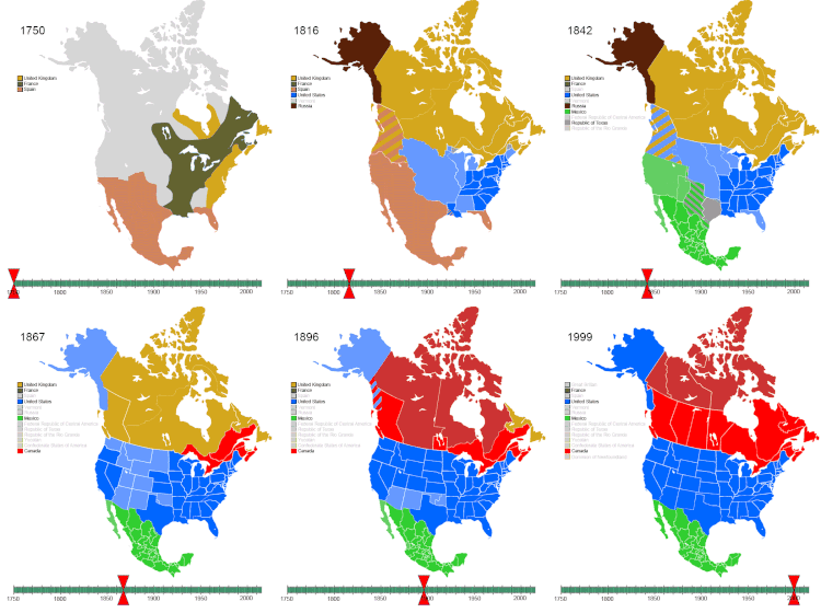
The history of North America is marked by a transition from indigenous subsistence methods to complex colonial and sovereign states. Early maps, such as those from 1621, illustrate the evolving European understanding of the landmass.
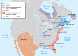
The continent's trajectory was shaped by the Pre-Columbian era, followed by a period of intense contact starting in 1492. Key historical milestones include the establishment of English settlements, the Seven Years' War, the American Revolution, and the subsequent westward expansion. The 20th century saw further geopolitical shifts, including the development of the Panama Canal and the territorial evolution of the United States and Canada.
Geography and Physiographic Divisions
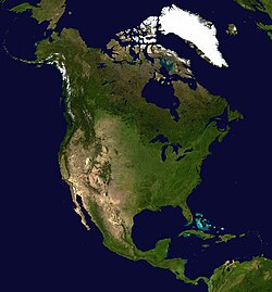
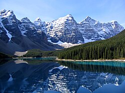
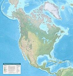
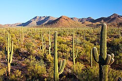
North America's landscape is defined by diverse landforms, from the rugged peaks of the Western Cordillera to the vast Interior Plains. The continent is divided into distinct physiographic divisions—geographic areas characterized by similar geological structures and landforms.
Canada
Canada is categorized into seven primary divisions: the Canadian Shield, Interior Plains, Great Lakes-St. Lawrence Lowlands, Appalachian region, Western Cordillera, Hudson Bay Lowlands, and the Arctic Archipelago.
United States
The lower 48 states are divided into eight divisions, including the Intermontane Plateaus, Interior Plains, Atlantic Plain, Appalachian highlands, Interior highlands, and the Rocky Mountain and Pacific Mountain systems.
Mexico
Mexico features fifteen divisions, ranging from the Baja California Peninsula and the Sonoran Basin and Range to the Volcanic Axis and the Yucatán Peninsula.
Geology and Climate
![World map of German cartographer Martin Waldseemüller (Germany, 1507), which first used the name America[citation needed]](/images/50/7b/507b658ffc29474b7b09d8f92ce4cdcf0303e85dc438c578316bc1e2b73e6f73.jpg)
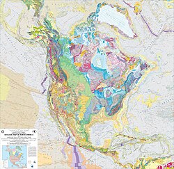
The geological foundation of the continent is complex, consisting of various cratons (stable parts of the continental crust) and basement rocks. In the United States, the land is divided into twelve main geological provinces, including the Columbia Plateau, Basin and Range, and the Colorado Plateau.
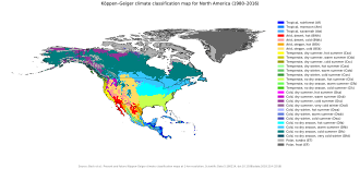
Climate varies drastically across the continent, as illustrated by the Köppen climate classification, which categorizes regions based on temperature and precipitation patterns. This diversity supports a wide array of ecological zones, from the frozen tundra of Greenland to the tropical rainforests of Central America.
Economy and Infrastructure
North America is one of the world's most economically productive regions. The United States leads the continent in GDP, followed by Canada and Mexico. The region's economic integration is further strengthened by agreements such as the U.S.–Mexico–Canada Agreement (USMCA).

| Country | Nominal GDP (Millions USD) | GDP PPP (Millions USD) |
|---|---|---|
| United States | 32,383,920 | N/A |
| Mexico | 2,120,855 | 3,580,952 |
| Canada | 2,507,340 | 2,910,718 |
| Cuba | 545,218 | 254,865 |
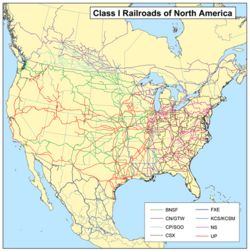
Transport infrastructure is highly developed, featuring extensive Class I railroad networks and major urban hubs that serve as centers of commerce and migration.
Demographics and Culture
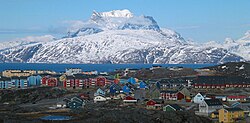
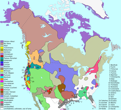
The population of North America is a mosaic of ethnicities and languages. While English, Spanish, and French are dominant, indigenous languages remain a vital part of the cultural fabric. Urbanization is high, with Mexico City and New York City standing as the largest metropolitan areas.
![Chinatown, Flushing in Queens, New York City has become the present-day global epicenter receiving Chinese immigration as well as the international control center directing such migration, as numerous languages have become entrenched into North American society.[131][132]](/images/db/26/db26b71f3d0974c79b390420e5dfddd5bf0e913aa62a2a28d071efcd8a8138a5.jpg)
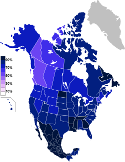
Religion plays a significant role in social life, with Christianity being the most prevalent faith (74.6%), followed by those with no religious affiliation (19.2%).
Sports are a unifying cultural element. Baseball is widely regarded as the national pastime of the United States and is popular in Canada and Latin America. Professional leagues like the NFL, NBA, and NHL generate billions in revenue and attract millions of spectators.

Frequently Asked Questions
What are the largest cities in North America?
The largest urban areas include Mexico City, New York City, Los Angeles, Chicago, and Toronto.
How many sovereign states are in North America?
There are 23 sovereign states and 23 non-sovereign territories within the continent.
What is the dominant religion in the region?
Christianity is the most common religion, practiced by 74.6% of the population.
Which countries have the highest GDP in North America?
The United States has the highest GDP, followed by Canada and Mexico.
What are the primary languages spoken?
The most widely spoken languages are English, Spanish, and French, alongside Dutch, Danish, and numerous indigenous languages.