New Jersey Turnpike
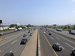
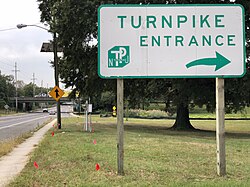
The New Jersey Turnpike is a critical piece of transportation infrastructure in the Northeastern United States, serving as a primary corridor for commuters and commercial freight. Maintained by the New Jersey Turnpike Authority (NJTA), this extensive toll road system facilitates movement across ten different counties, linking the southern reaches of the state to the bustling hubs of the north.
From its role as a segment of Interstate 95 to its specialized spurs and extensions, the Turnpike is more than just a road; it is an economic engine that supports the flow of goods and people between major metropolitan areas.
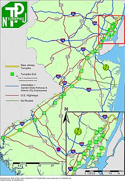
Key Facts
- Total System Length: 148.18 miles, including all extensions and spurs.
- Mainline Length: 117.20 miles.
- Jurisdiction: Maintained by the New Jersey Turnpike Authority (NJTA).
- Operational Since: 1951.
- Major Designations: Includes segments of I-95, I-295, and the unsigned Route 700.
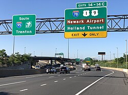
- Commercial Restriction: Trucks must use outer roadways between exits 6 and 14-14C.
Route Structure and Geography
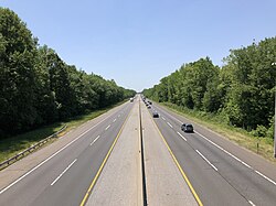
The New Jersey Turnpike is not a single straight line but a complex network of roadways designed to handle varying traffic volumes and destinations. The system is divided into several key components:
The Mainline and Primary Segments
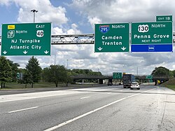
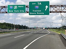
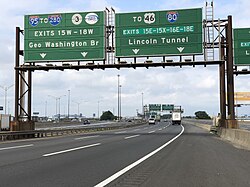
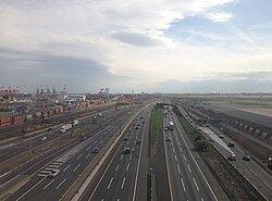
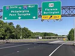
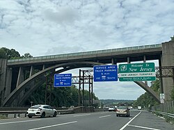
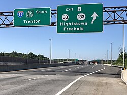
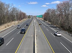
The mainline stretches across the state, passing through counties such as Salem, Gloucester, Camden, Burlington, Mercer, Middlesex, Union, Essex, Hudson, and Bergen. It transitions through various designations, including I-295 in Pennsville Township and I-95 from Mansfield Township to Fort Lee.
Spurs and Extensions
To manage urban congestion and provide direct access to key hubs, the system utilizes several extensions:
- Western Spur: A 11.03-mile segment providing alternative routing.
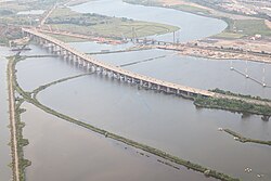
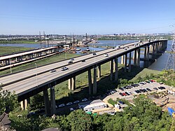
- Newark Bay Extension: An 8.17-mile stretch of I-78 connecting Newark to Jersey City.
- Pennsylvania Extension: A 6.55-mile link extending the reach of the system.
- Interstate 95 Extension: A 5.20-mile segment ensuring continuity of the I-95 corridor.
Infrastructure and Services
To support millions of annual travelers, the NJTA provides comprehensive services and utilizes modern traffic management technology.
Service Areas and Amenities
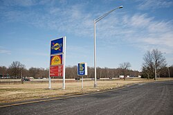
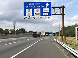
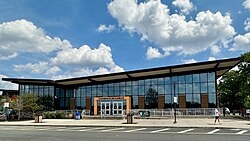
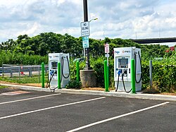
The Turnpike is dotted with service areas that provide fuel, food, and rest. Notable locations include the Molly Pitcher, John Fenwick, Joyce Kilmer, and Grover Cleveland service areas. In response to evolving automotive trends, the Vince Lombardi Service Area now features electric vehicle charging stations.

Toll Collection and Traffic Management
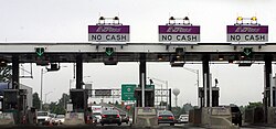
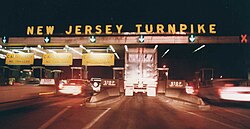
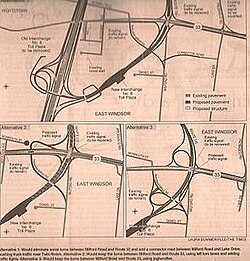
Historically, the Turnpike relied on manual toll booths, but it has transitioned toward electronic tolling. The implementation of E-ZPass (an electronic toll collection system) has significantly reduced congestion at plazas, such as the one at Exit 8A in Monroe Township.
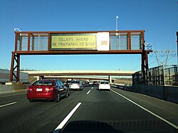
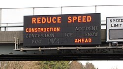
Traffic is managed via variable-message signs (VMS) that alert drivers to construction or congestion in real-time, replacing the older mechanical warning signs used in the 1970s.
Historical Development
Origins and Construction
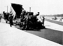
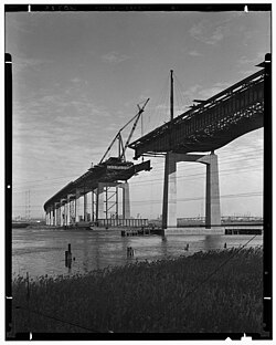
The concept for the Turnpike began in the 1930s with proposed state highways Route 100 (New Brunswick to Fort Lee) and Route 300 (Deepwater to New Brunswick). These precursors laid the groundwork for the modern system, which was completed in 1952.
Evolution and Expansion
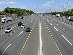
Over the decades, the road has undergone continuous modification. In January 1992, the turnpike was extended by four miles from I-95 exit 68 to exit 72B after the NJDOT sold the segment to balance the state budget. More recent efforts have focused on widening projects, such as the $2.7 billion program to expand the roadway between Interchanges 6 and 9.
System Summary
The following table provides a quick reference for the various segments of the New Jersey Turnpike system.
| Segment | Length (Miles) | Primary Designation |
|---|---|---|
| Mainline | 117.20 | I-95 / Route 700 / I-295 |
| Western Spur | 11.03 | I-95W |
| Newark Bay Extension | 8.17 | I-78 |
| Pennsylvania Extension | 6.55 | I-95 |
| Interstate 95 Extension | 5.20 | I-95 |
| Total | 148.18 | - |
Frequently Asked Questions
Where does the New Jersey Turnpike end?
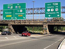
The northern end of the turnpike is located in Fort Lee, where it connects with I-95, US 1-9, US 46, and US 9W. The southern end is in Pennsville Township, connecting with I-295 and US 40.
Are there restrictions for commercial vehicles?
Yes, commercial vehicles are required to use the outer roadways when traveling between exits 6 and 14-14C.
What is the purpose of the Newark Bay Extension?
The Newark Bay Extension is an 8.17-mile segment of I-78 that connects Newark to Jersey City, providing a vital link across the bay.
How has tolling changed on the Turnpike?
The system has moved from traditional cash toll booths to the E-ZPass electronic system, which allows for non-stop travel through designated lanes and reduces traffic bottlenecks.
What were the precursors to the current Turnpike?
The Turnpike was preceded by plans for Route 100 and Route 300, which were proposed by the New Jersey State Highway Department in the 1930s.