La Gran Sabana: Venezuela's Ancient Highlands and Table-Top Mountains
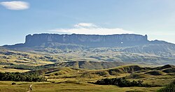
Located in southeastern Venezuela, La Gran Sabana (The Great Savanna) is a region of breathtaking geological antiquity and biological diversity. Part of the Guianan savanna ecoregion, this vast territory extends into the Guiana Highlands and Bolívar State, reaching the borders of Brazil and Guyana. Characterized by rolling plains, deep valleys, and the iconic tepuis—isolated table-top mesas—it offers one of the most unique landscapes on Earth.
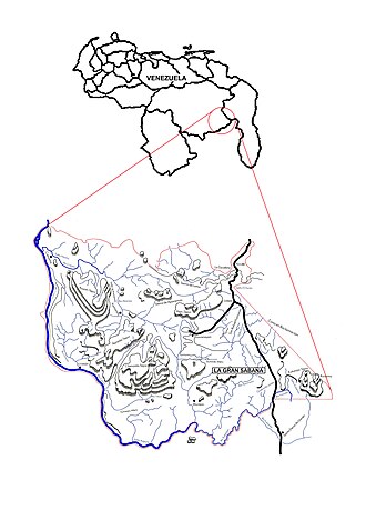
The region is a central part of Canaima National Park, Venezuela's second-largest national park. Established on June 12, 1962, the park was created to protect the area's mineral reserves, diverse biology, and singular geography. In 1994, UNESCO recognized the global significance of Canaima National Park by naming it a World Heritage Site.
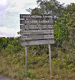
Key Facts
- Total Area: 1,082,000 hectares (4,180 sq mi).
- Highest Point: Mount Roraima, reaching nearly 2,800 meters (9,200 ft).
- Biodiversity: 40% of Venezuela's species are found here, including 23% of its reptiles and amphibians.
- Geology: Formed on the Precambrian Guyana Shield with bedrock dating back 1.8 to 1.4 billion years.
- Climate: Average annual temperature of 20 °C (68 °F).

Geology and the Mystery of the Tepuis
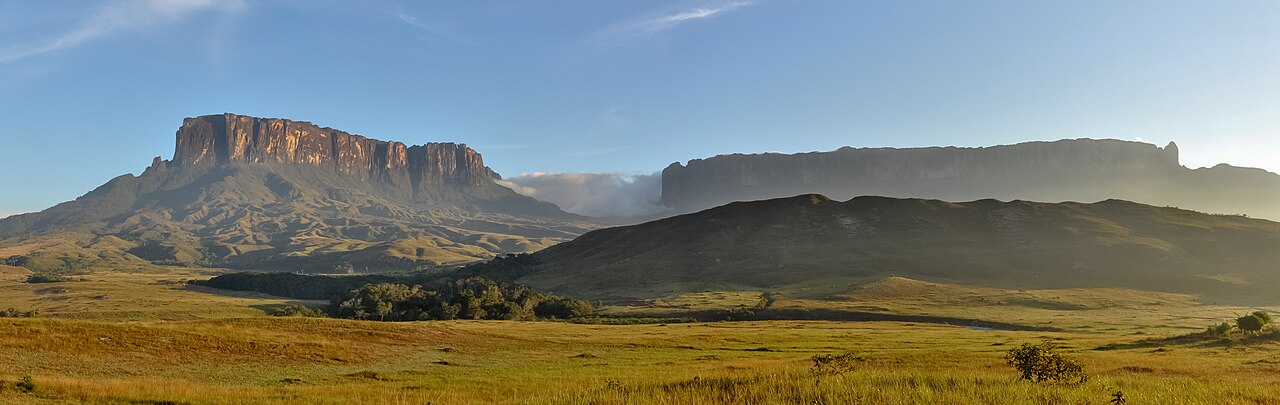
The foundation of La Gran Sabana is the Precambrian Guyana Shield. The bedrock consists of the Roraima Group, specifically the resistant Mataui Formation made of quartzite and quartzite arenites. This geological structure created the tepuis, which rise 900 to 1,600 meters above the surrounding Wonkén planation surface.
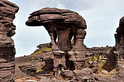
Over millions of years, heavy precipitation and weathering have carved the sandstone into quartzite karst features. These include towers, arches, and massive cave systems. One notable example is the Roraima Sur–Los Ojos de Cristal system, which extends 10.8 kilometers (6.7 mi) in length.
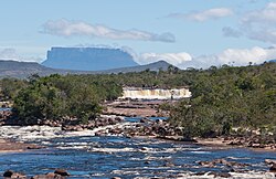
Notable Tepuis of the Region
- Auyán-tepui: The second-largest Guiana tepui, famous for hosting Angel Falls, the world's tallest waterfall with a drop of nearly 979 meters (3,212 ft).
- Mount Roraima: The highest tepui in the park, revered as a divinity by the local Pemon people. It covers 200 sq mi and features vertical walls up to 500 meters high.
- Chimantá Massif: The largest formation in Venezuela, covering 1,470 sq km, known for its inaccessible plateaus and deep caves.
- Kukenán-tepui: Home to Kukenan Falls, the tenth-highest waterfall in the world.
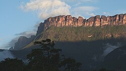
Hydrology and Climate
The region is defined by an intricate network of rivers, including the Yuruaní, Aponwao, and Kukenán. The Caroní River is the most significant, stretching 925 km and providing the majority of Venezuela's hydroelectric power.
A striking feature of these waters is their dark water appearance, resembling tea. This is caused by high concentrations of tannins and humic acids, resulting in an acidic pH between 3 and 4.
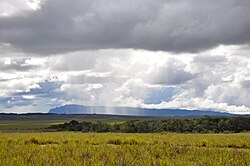
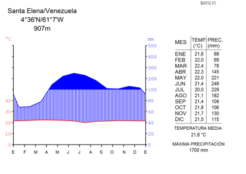
The climate is influenced by the region's average elevation of 1,000 meters. While temperatures generally range between 8 °C and 35 °C, rainfall is abundant. The rainy season lasts approximately 10 months, with annual precipitation varying from 1,600 mm in the south to over 3,000 mm in the southeast.
Flora and Fauna
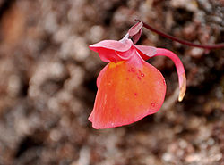
The acidic, nutrient-poor soils have led to the evolution of highly specialized plant life. Vegetation ranges from dense jungles in the hollows to submontane evergreen forests and unique species on the tepui summits, such as those from the Brocchinia and Tepuia genera.
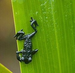
The fauna is equally diverse, though many animals remain hidden in the deep jungle. The region supports at least 25 mammal species, including the jaguar, giant anteater, and giant otter. Birdlife includes the harpy eagle and the Andean cock-of-the-rock, while the amphibian population features the black-and-yellow poison dart frog.
Human Geography and Culture
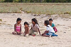
The Pemon are the primary indigenous inhabitants of the region, divided into the Arekunas, Taurepanes, and Kamarakotos groups. They maintain a deep spiritual connection to the land, believing the tepuis are home to powerful spirits.
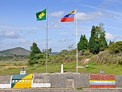
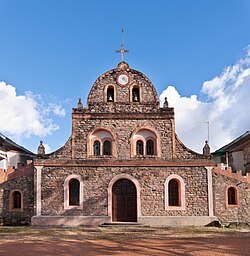
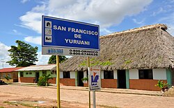
The largest urban center is Santa Elena de Uairén, located near the Brazilian border. Founded in 1923 during a diamond production boom, it now serves as a hub for commerce, mining, and ecotourism.
Regional Summary
| Feature | Details |
|---|---|
| Designation | National Park / UNESCO World Heritage Site |
| Key Geological Feature | Tepuis (Table-top mountains) |
| Primary River | Caroní River |
| Major City | Santa Elena de Uairén |
| Indigenous Group | Pemon |
| Average Temp | 20 °C (68 °F) |
Frequently Asked Questions
What are tepuis?
Tepuis are isolated, table-top mountains found in the Guiana Highlands. They are remnants of an ancient sandstone plateau that has been eroded over millions of years, creating steep vertical cliffs and flat summits.
Why is the water in La Gran Sabana brown?
The rivers have "dark water" because they are rich in tannins and humic acids leached from the surrounding vegetation and acidic soils, giving the water a tea-like color and a low pH.
Which is the tallest waterfall in the region?
Angel Falls, located on Auyán-tepui, is the world's tallest waterfall, with a total drop of nearly 979 meters (3,212 ft).
Who are the Pemon people?
The Pemon are the indigenous people of the region, consisting of the Arekunas, Taurepanes, and Kamarakotos. They are the traditional stewards of the land and often work as guides for ecotourism.
How can visitors access La Gran Sabana?
The region is accessible via the paved Troncal 10 highway from Ciudad Guayana to the Brazilian border. Some remote areas require four-wheel-drive vehicles or air travel from Santa Elena de Uairén.