Borders: The Geography, Politics, and Regulation of Global Boundaries
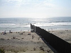
Borders are the geographical boundaries that define the limits of a territory. These lines are imposed either by natural features, such as oceans and terrain, or by political entities, including sovereign states, federated states, and subnational governments. While some perceive them as simple lines on a map, borders are complex constructs established through mutual agreements, colonization, or the outcomes of warfare.
It is important to distinguish between the border—the actual boundary line—and the frontier, which refers to the broader area surrounding that boundary.
Key Facts
- Types: Borders can be natural (rivers, lakes), geometric (straight lines), or relic (former boundaries).
- Airspace: National sovereignty typically extends to the Kármán line, approximately 62 miles (100 km) above Earth.
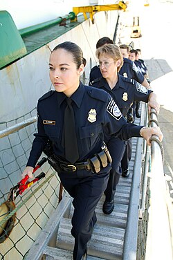
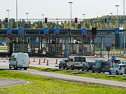
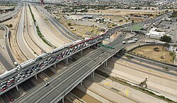
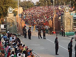
- Control: Most external borders are regulated at designated checkpoints to monitor the movement of people, animals, and goods.
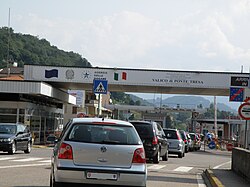
- Open Borders: Some regions, such as the Schengen Area, maintain open internal borders to facilitate free movement.
- Economics: States regulate borders not only for security but to collect tariffs and manage foreign currency exchange.
The Evolution and Classification of Borders
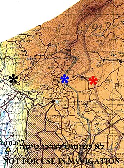
Historically, borders were not always precise lines. In the past, many regions featured marchlands—intervening areas claimed by multiple sides and often fought over. Examples of this in more recent history include the neutral zones between Saudi Arabia and Iraq (1922–1991) and Saudi Arabia and Kuwait (1922–1970). In the modern era, these vague zones have largely been replaced by clearly demarcated lines.
Natural and Landscape Borders
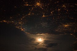
Natural borders utilize physical geography to separate territories. Large lakes and mountain ranges are common examples of these boundaries.
Geometric Borders
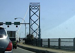
Geometric boundaries are formed by straight lines or arcs, such as lines of latitude and longitude, regardless of the physical or cultural landscape. These are frequently found in regions developed from colonial holdings in Africa, the Middle East, and North America. A prominent example is the Canada–United States border, which follows the 49th parallel for roughly 2,175 miles (3,500 km) from Lake of the Woods to the Pacific Ocean.
Relic Borders
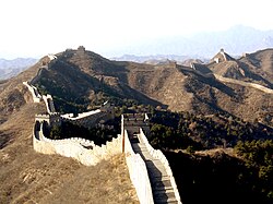
A relic border is a former boundary that is no longer legally active but remains visible in the landscape. The former boundary between East and West Germany is a prime example; while no longer an international border, it persists as a cultural and economic demarcation.

Other examples include the defunct Demilitarized Zone between North and South Vietnam (ended 1975) and the border between North and South Yemen (ended 1990). In some cases, relic borders are reconstituted, such as when the former British Somaliland claimed the old British-Italian line as its eastern border upon declaring independence in 1991.
Border Regulation and Control
Most countries implement border controls to regulate the flow of traffic. Under international law, nations are generally permitted to set the conditions for crossing their borders and prevent illegal entry.
Regulated vs. Open Borders
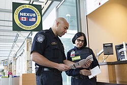
External political borders are typically controlled, meaning they can only be legally crossed at designated checkpoints. Airports and seaports are also classified as borders for control purposes. Conversely, open borders—such as those within the Schengen Area or internal administrative borders of a state—are unguarded to allow seamless movement.
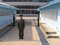
Demilitarized Zones and Buffer Zones
To reduce the risk of escalation between belligerent entities, buffer zones or demilitarized zones may be established. These areas serve as a physical gap to prevent direct military conflict.

Maritime and Airspace Boundaries
Borders extend beyond the land. Maritime borders define a country's reach into the ocean, while airspace covers the atmosphere within a country's international and maritime limits.
Under the law of air sovereignty, countries regulate their airspace, which typically extends 12 nautical miles from the coast. While horizontal boundaries are well-defined, vertical boundaries are governed by general agreement. The Kármán line, located 62 miles (100 km) above the Earth's surface, is generally accepted as the boundary between airspace and outer space, the latter of which is governed by space law.
The Economics and Politics of Borders
Borders are not just security barriers; they are economic tools. States regulate trade to collect tariffs and benefit from currency exchange. This often leads to unofficial trade. For example, in the Horn of Africa, Ethiopia sells an estimated $250 to $300 million of livestock to Somalia, Kenya, and Djibouti annually through unofficial channels—a figure over 100 times higher than official estimates.
Politically, borders may be established through various means:
- Mutual agreement between neighboring countries.
- Imposition by one country over another.
- Imposition by third parties, such as international conferences.
- Inheritance from colonial powers or former states (e.g., the former Soviet Union).

Summary of Border Types
| Border Type | Defining Characteristic | Example |
|---|---|---|
| Natural | Based on physical geography | Lakes, Mountains, Rivers |
| Geometric | Straight lines or arcs | US-Canada 49th Parallel |
| Relic | Former boundary, still visible | East/West Germany line |
| Open | Unguarded, free movement | Schengen Area |
Frequently Asked Questions
What is the difference between a border and a frontier?
The border is the specific geographical line that marks the boundary between two entities, whereas the frontier is the general area surrounding that boundary.
What is the Kármán line?
The Kármán line is the recognized boundary between Earth's atmosphere (airspace) and outer space, located at an altitude of approximately 62 miles (100 km).
What are relic borders?
Relic borders are former boundaries that no longer serve as legal dividers between political entities but remain evident in the landscape through markers or cultural differences.
Why do countries maintain border controls if goods are legal?
Even for legal goods, countries use border controls to document trade, collect tariffs, and generate revenue from foreign currency exchange.
How are geometric borders typically formed?
Geometric borders are created using straight lines, such as lines of longitude or latitude, often regardless of the physical or cultural features of the land. These are common in former colonial territories.