Tegucigalpa: The Vibrant Capital of Honduras
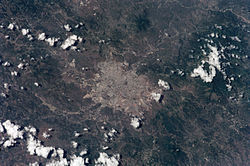
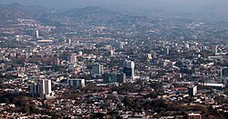
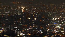
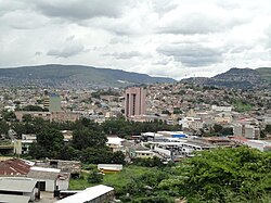
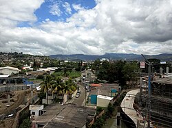
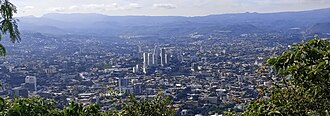
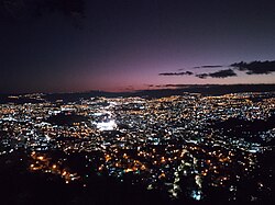
Perched in the highlands of the Francisco Morazán department, Tegucigalpa serves as the political, economic, and cultural heart of Honduras. Known by nicknames such as "Tegus" and "Cerro de Plata" (Silver Mountain), this sprawling metropolis is more than just a seat of government; it is a dynamic urban center that blends colonial history with rapid modern growth.
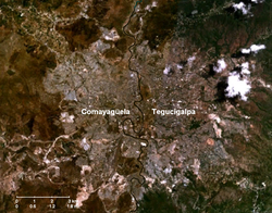
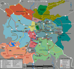
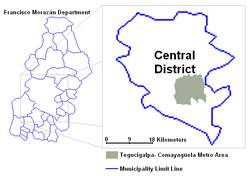
The city is part of the Central District, a municipality formed by the merger of Tegucigalpa and its twin city, Comayagüela, in 1937. Together, they form a compacted urban area that houses over a million residents, making it the largest city in Central America and the 25th largest in North America.
Key Facts
- Founded: September 29, 1578.
- Status: Capital of Honduras since October 30, 1880.
- Population: Approximately 1.3 million (2023 projection).
- Elevation: 990 meters (3,250 feet) above sea level.
- Economy: One of the fastest-growing economic hubs in Central America and the Caribbean, with a 2023 GDP (PPP) of $10.5 billion.
- Geography: Divided by the Choluteca River, which separates Tegucigalpa from Comayagüela.
History and Urban Evolution
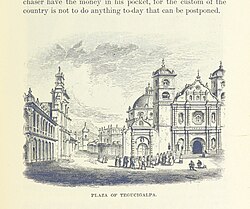
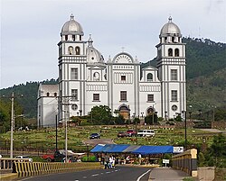
Tegucigalpa's origins are deeply tied to the region's mineral wealth, which earned it the name "Silver Mountain." From its founding in the 16th century, the city evolved from a mining settlement into a colonial center. The Los Dolores Church, built in 1735, stands as a testament to this early architectural heritage.
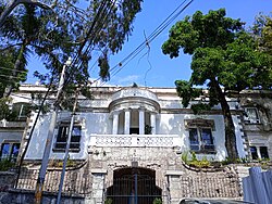
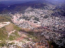
By the 19th century, the city began to expand its administrative role, eventually becoming the national capital in 1880. The 1930s marked a period of significant architectural development, exemplified by structures like Casa Casco. However, the city has also faced immense challenges, most notably the devastation caused by Hurricane Mitch in November 1998, which left a lasting impact on the urban landscape.
Geography and Climate
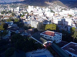
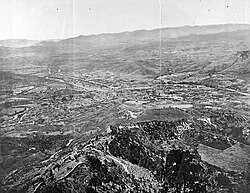
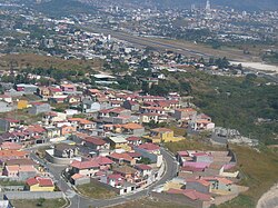
The city is characterized by its rugged terrain and high elevation. The Central District covers a total area of 1,502 km², though the urban core is much more concentrated. The Choluteca River serves as the primary natural boundary between the two main urban sectors.
Tegucigalpa experiences a tropical savanna climate (classified as Aw). It is characterized by a distinct wet and dry season. The heaviest precipitation typically occurs between May and October, with September seeing the highest average rainfall at 177.2 mm. Temperatures remain relatively moderate due to the altitude, with mean daily maximums generally ranging between 25°C and 30°C.
| Category | Detail |
|---|---|
| Municipality | Central District |
| Urban Population | 1,199,136 |
| GDP Per Capita (2023) | $6,700 |
| Main River | Choluteca River |
| Primary Airport | Toncontín International Airport |
City Infrastructure and Landmarks
Government and Education
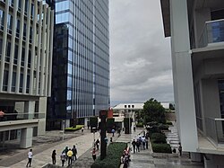
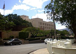
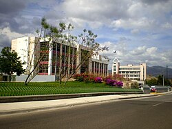
As the capital, the city houses the Civic Center, which includes the Supreme Court of Justice and the Ministry of Foreign Affairs. The United States Embassy is also a prominent fixture on La Paz Avenue. Education is a cornerstone of the city, led by the Universidad Nacional Autónoma de Honduras (UNAH) and several private institutions, including the Catholic University of Honduras (UNICAH).
Culture and Sport
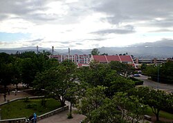
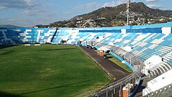
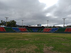
The city is a hub for sports, featuring the Chelato Uclés Football Stadium and the Chochi Sosa Baseball Stadium. Football is particularly dominant, with clubs like C.D. Olimpia and F.C. Motagua drawing large crowds.
Transportation
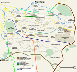
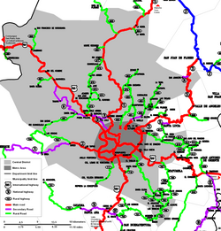
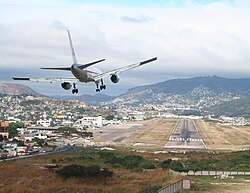
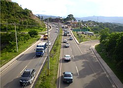
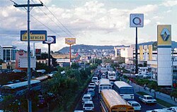
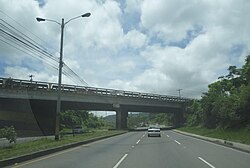
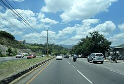
Tegucigalpa's road network is complex, featuring major arteries like the Anillo Periférico (beltway), Blvd Centro América, and Blvd Suyapa. Air travel is handled by Toncontín International Airport, known for its challenging approach due to the surrounding mountainous terrain.
Frequently Asked Questions
What is the difference between Tegucigalpa and Comayagüela?
Tegucigalpa and Comayagüela are twin cities that were merged in 1937 to form the Central District. They are separated geographically by the Choluteca River.
What is the climate like in Tegucigalpa?
The city has a tropical savanna climate with moderate temperatures due to its elevation of 990 meters. It features a rainy season from May to October and a drier period from November to April.
Which are the most important universities in the city?
The most prominent is the Universidad Nacional Autónoma de Honduras (UNAH), alongside several private universities such as the Catholic University of Honduras (UNICAH) and the Technological University of Honduras (UTH).
How does the city's economy perform?
Tegucigalpa is one of the fastest-growing economic centers in Central America and the Caribbean, with a total GDP (PPP) of $10.5 billion as of 2023.
What are some of the city's most famous landmarks?
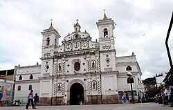
Key landmarks include the Tegucigalpa Cathedral, the Basilica of Our Lady of Suyapa, and the Government Civic Center.