Tainan City: The Historic Heart and Cultural Capital of Taiwan
Known as the Phoenix City or the Prefecture City, Tainan stands as one of Taiwan's most significant urban centers. As a special municipality, it blends a deep historical legacy with modern industrial growth, serving as a living museum of the island's evolution from a colonial outpost to a thriving metropolitan hub.
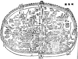
Tainan's identity is rooted in its role as a former capital and its strategic coastal location. From the early Dutch settlements to the establishment of the Kingdom of Tungning and the subsequent Qing dynasty administration, the city has been a focal point of political and cultural power for centuries.
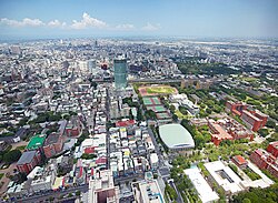
Key Facts
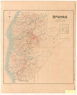
- Status: Special municipality of Taiwan.
- Population: 1,856,642 (as of March 2023).
- Total Area: 2,191.65 km².
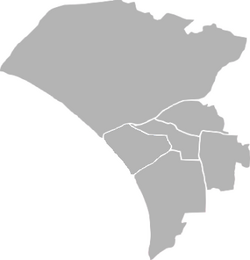
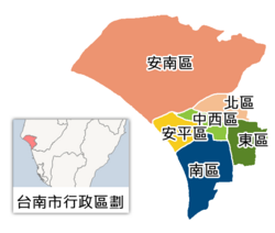
- Administrative Structure: Divided into 37 districts.
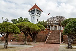
- Key Landmarks: Fort Provintia, Fort Zeelandia, and the Taiwan Confucian Temple.
- Economic Drivers: High-tech industry (TSMC), agriculture, and tourism.
A Journey Through History
Colonial Beginnings and the Kingdom of Tungning
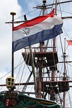
Tainan's recorded history began in 1624 with the formation of Fort Zeelandia under Dutch rule. This period established the city as a vital trading port. By 1661, the city became the capital of the Kingdom of Tungning, marking a pivotal shift in local governance.
Imperial and Modern Eras
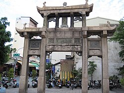
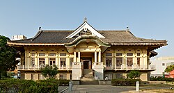
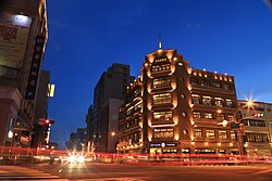
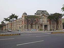
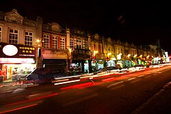
Following the Tungning era, Tainan functioned as a prefecture under the Qing dynasty. The city later transitioned through Japanese rule, which left a lasting mark on its urban planning and architecture, including the Tainan Butokuden (Martial Arts Hall) and various early 20th-century department stores.
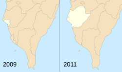
In the modern era, Tainan achieved provincial city status on October 25, 1945. A major administrative shift occurred on December 25, 2010, when it was upgraded to a special municipality through a merger with Tainan County.
Culture, Arts, and Traditions
Spiritual and Educational Landmarks
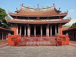
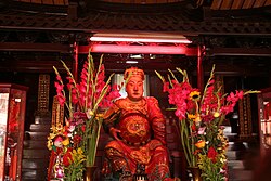
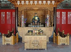
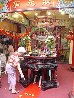
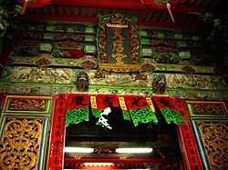
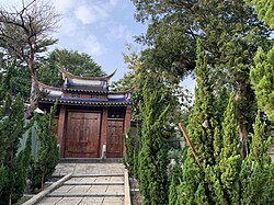
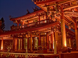
Tainan is renowned for its concentration of temples and shrines. The Taiwan Confucian Temple serves as a cornerstone of educational heritage, while the Koxinga Temple and various Buddhist and Taoist shrines reflect the city's spiritual diversity.
Local Customs and Cuisine
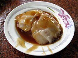
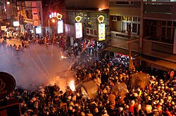
The city is a culinary destination, famous for traditional dishes such as Danzai noodles and Ba-wan (meat dumplings served with sweet sauce). Cultural vibrancy is further displayed through unique events like the Yanshuei Beehive fireworks, where rockets are launched rapidly in the downtown area.
Geography and Urban Structure
Administrative Regions
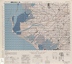
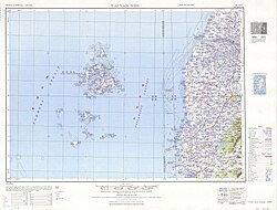
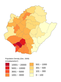
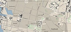
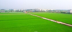
Tainan is organized into three primary regions: Inner Tainan, the River South Region, and the River North Region. The city center is characterized by the West Central District, while the outskirts blend urban sprawl with agricultural land.
Climate and Environment
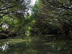
Tainan experiences a subtropical climate with significant rainfall, particularly from June to September. The region is also home to the Taijiang National Park, featuring the Sicao green tunnel of mangroves.
City Statistics Summary
| Category | Detail |
|---|---|
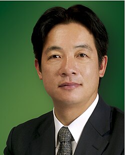
| Mayor | Huang Wei-che |
| Population Rank | 6th of 22 |
| Area Rank | 7th of 22 |
| City Bird | Pheasant-tailed jacana |
| City Flower | Phalaenopsis |
| City Tree | Delonix regia |
Economy and Education
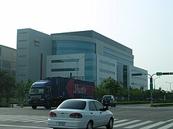
Tainan's economy is a blend of traditional agriculture and cutting-edge technology. The Tainan Science Park, featuring TSMC, is a global hub for semiconductor manufacturing.
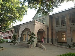
Education is equally prioritized, with prestigious institutions such as National Cheng Kung University and National Tainan First Senior High School contributing to the city's intellectual capital.
Frequently Asked Questions

What is the significance of Fort Provintia?
Fort Provintia is a major historical landmark located in the West Central District, representing the city's colonial past and its strategic importance in early Taiwanese history.
When did Tainan become a special municipality?
Tainan was upgraded to a special municipality on December 25, 2010, following its merger with Tainan County.
What are some must-try foods in Tainan?
Visitors often seek out Danzai noodles and Ba-wan (sweet sauce dumplings), which are staples of the city's famous food culture.
Which major industry drives Tainan's modern economy?
The semiconductor industry, led by TSMC in the Tainan Science Park, is a primary driver of the city's modern economic growth.
What is the Yanshuei Beehive festival?
It is a traditional event in the Yanshuei District where thousands of rockets are launched rapidly, creating a spectacular and chaotic display of fireworks.