Streams: Types, Characteristics, and Hydrological Classifications
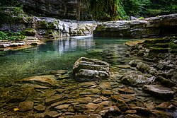
A stream is a continuous body of surface water that flows within a defined bed and banks of a channel. These watercourses are fundamental components of the Earth's hydrological cycle, transporting water from higher elevations to lower ones. Depending on the region, the size, and the volume of water, a stream may be called by many different names, ranging from a massive river to a tiny rivulet.
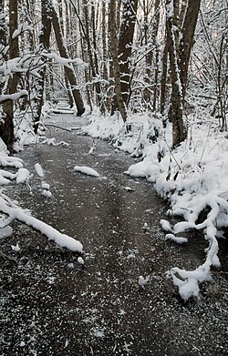
The flow of any stream is driven by three primary inputs: surface runoff (resulting from precipitation or meltwater), daylighted subterranean water, and surfaced groundwater, often appearing as spring water. While surface and subterranean inputs fluctuate rapidly with rainfall, groundwater provides a relatively constant flow influenced by long-term precipitation patterns.
Key Facts
- Water Sources: Streams are fed by surface runoff, subterranean water, and groundwater.
- Terminology: Large streams are typically called rivers, while smaller ones are known as brooks, creeks, or rivulets.
- Perenniality: Streams are classified as perennial, intermittent, or ephemeral based on how consistently they flow.
- Ecological Indicators: The presence of specific benthic macroinvertebrates, such as mayfly larvae, often indicates a perennial stream.
- Environmental Role: Streams are critical for groundwater recharge, wildlife habitat, and providing clean drinking water.
Types of Streams
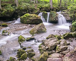
Streams are categorized largely by their size, volume, and relationship to other bodies of water.
Rivers, Creeks, and Brooks
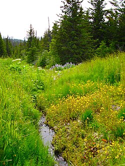
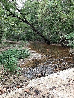
A river is a large natural stream, characterized by being wider and deeper than other types, often serving as a navigable waterway. A creek (or crick) is a narrow stream smaller than a river; in North America, Australia, and New Zealand, it often refers to a minor tributary. A brook is typically smaller than a creek, often fed by a spring or seep, and is characterized by its shallowness, making it easily fordable.
Tributaries and Distributaries
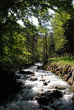
A tributary is a contributory stream that joins a larger "parent" river rather than flowing directly into a static body of water like an ocean or lake. These are sometimes referred to as branches or forks.
Regional Terminology
The names used for streams vary significantly by geography:
- North America: In states like Ohio, Pennsylvania, and Virginia, the term run is common. "Stream" and "brook" are widely used across New England and the Midwest.
- United Kingdom: While "brook" is standard, nant is used in Wales, and syke refers to seasonal streams in Cumbria and the Scottish Lowlands.
Anatomy of a Stream
To understand how a stream functions, it is helpful to define its physical components:
- Headwaters: The source area of the stream.
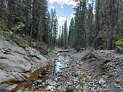
- Channel: The depression created by erosion that carries the flow.
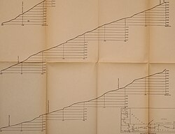
- Thalweg: The line joining the deepest points of the channel from source to mouth.
- Confluence: The point where two or more streams meet.
- Mouth: Where the stream discharges into a lake, ocean, or another river.
- Drainage Basin: Also known as a watershed in the U.S., this is the total land area where water drains into a specific stream.
- Floodplain: The adjacent land subject to flooding when the stream overflows its banks.
Stream Classifications and Flow
Perennial, Intermittent, and Ephemeral
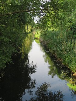
Streams are classified by their flow persistence. Perennial streams flow year-round and typically have a catchment area exceeding 0.25 square miles. They are identified by defined beds and banks and evidence of riverbank erosion.
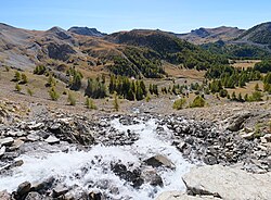
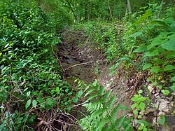
Intermittent streams show interruptions in flow over time or space. Ephemeral streams are the most temporary; they rely almost entirely on storm runoff, their beds remain above the water table, and they may lack a well-defined channel.
Groundwater Interaction
Streams are also classified by how they interact with the water table:
- Gaining: Receives water from the groundwater.
- Losing: Loses water to the groundwater or through evaporation.
- Isolated: Neither supplies nor removes water from the saturated region.
- Perched: Flow is separated from the main groundwater zone by an impermeable layer.
Identifying Perennial Streams
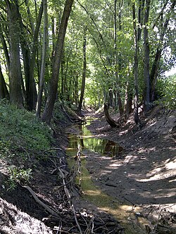
Scientists use several indicators to determine if a stream is perennial:
Biological Indicators
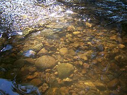
The presence of benthic macroinvertebrates (invertebrates larger than 0.5 mm) is a key sign. Larvae of stoneflies, mayflies, caddisflies, and damselflies require continuous aquatic habitats to reach maturity. Crayfish, snails, and bivalves also indicate a persistent water source.
Physical and Hydrological Indicators
A stream is likely perennial if it continues to flow 48 hours after a storm has ended, indicating baseflow from groundwater. Other signs include the presence of iron-oxidizing bacteria (appearing as red rust in slow-moving areas) and the absence of accumulated leaf litter, which is continuously flushed away in perennial systems.
Summary of Stream Types
| Type | Relative Size | Flow Characteristics | Key Feature |
|---|---|---|---|
| Brook | Smallest | Often spring-fed | Shallow and easily forded |
| Creek | Small to Medium | Can be intermittent | Minor tributary to a river |
| River | Largest | Continuous/High volume | Deep and often navigable |
| Ephemeral | Variable | Storm-driven only | Bed is above water table |
Frequently Asked Questions
What is the difference between a creek and a brook?
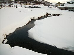
Generally, a brook is smaller and shallower than a creek and is frequently fed by a spring or seep, making it very easy to cross on foot.
How can you tell if a stream is perennial?
Perennial streams flow year-round. Indicators include the presence of specific aquatic insects (like mayflies), a continued flow 48 hours after rain, and a defined channel with evidence of bank erosion.
What is a tributary?
A tributary is a smaller stream that flows into a larger parent river rather than emptying directly into the ocean or a lake.
What is the thalweg of a river?
The thalweg is the longitudinal section of a river that connects the deepest points of the channel from the source all the way to the mouth.
What is a drainage basin?
A drainage basin, or watershed, is the entire area of land where all surface water converges to a single point, such as a stream or river.