Pasay City: The Travel City of the Philippines
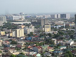
Known as The Travel City, Pasay is a highly urbanized city located within the National Capital Region of the Philippines. Serving as a critical gateway to the archipelago, it blends a rich colonial history with a fast-paced modern economy. From its origins as a suburban retreat for prominent families to its current status as a commercial powerhouse, Pasay remains one of the most strategic locations in Metro Manila.
According to the 2024 census, Pasay is home to 453,186 residents, maintaining a high population density of 32,440 people per square kilometer. Its unique geography, bordering Manila Bay, has allowed the city to expand through land reclamation, creating new hubs for tourism, trade, and entertainment.
Key Facts
- Official Nickname: The Travel City
- Founded: December 2, 1863
- Population: 453,186 (2024 Census)
- Land Area: 13.97 km²
- Income Class: 1st City Income Class
- Key Infrastructure: Home to the Ninoy Aquino International Airport (NAIA)
Historical Evolution
Early Origins and Colonial Era
The roots of Pasay trace back to the rule of Lakan Tagkan in 1470, where the area was part of Namayan. Historical records indicate that Pasay was gifted to Tagkan's illegitimate son, from whom the city derives its name.
![Map of Namayan (colored pink) in 1470 under the rule of Lakan Tagkan. Pasay is shown as a part of Namayan, which was gifted to Tagkan's illegitimate son Pasay.[10][11]](/images/91/22/91224d22ecbc204cf2bfdc2bea0e40712967793cbbda1b5459585ffac101cb5b.png)
During the Spanish and subsequent American colonial periods, Pasay transitioned from a rural town into a suburban residential area. By the early 20th century, it became a preferred location for prominent Filipino families and American expatriates, including Manuel L. Quezon, the future President of the Commonwealth.

Path to Cityhood
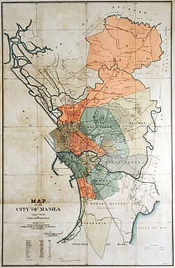
Pasay's administrative status evolved several times throughout the 20th century. It was officially created as Rizal City on June 21, 1947, before being renamed Pasay City on June 7, 1950. The city achieved its status as a highly urbanized city on December 22, 1979.
Geography and Urban Layout
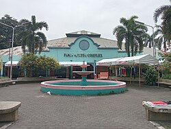
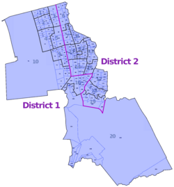
Pasay is situated at an average elevation of 21 meters, though its terrain ranges from sea level (0m) to a highest point of 449 meters. The city is divided into 201 barangays (the smallest administrative divisions in the Philippines), organized into various zones.
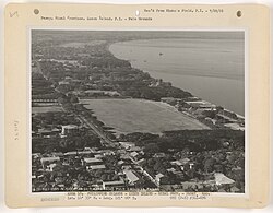
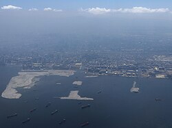
Modern Pasay is characterized by significant land reclamation projects along Manila Bay, which have expanded the city's footprint to accommodate massive commercial developments and entertainment complexes.
City Infrastructure and Landmarks
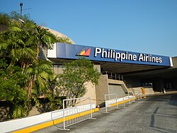
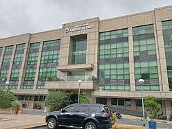
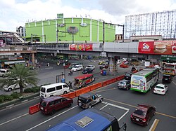
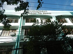
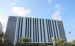
The city is a nexus of transportation and governance. Key landmarks include the Pasay City Hall, the Pasay Sports Complex, and the headquarters of Philippine Airlines. The intersection of EDSA and Taft Avenue, known as the "Pasay Rotonda," serves as one of the busiest transit points in the country.
Economy and Education
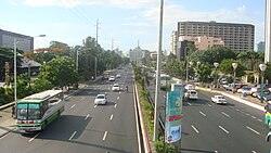
Pasay is classified as a 1st city income class, reflecting its robust economic activity. In 2024, the city reported revenues of ₱9,581 million and total assets of ₱20,271 million. Its economy is heavily driven by the aviation, hospitality, and retail sectors.
The city also serves as an educational hub, hosting a variety of institutions including the City University of Pasay, National University - Mall of Asia, and the Philippine State College of Aeronautics.
Climate and Demographics
Pasay experiences a tropical climate with significant rainfall, particularly from June to September. The highest average rainfall occurs in August, averaging 208.0 mm. Temperatures typically range from a mean daily minimum of 22.9°C in January to a mean daily maximum of 34.3°C in April.
| Category | Detail |
|---|---|
| Total Population | 453,186 (2024) |
| Land Area | 13.97 km² |
| Income Class | 1st Class |
| Administrative Divisions | 201 Barangays |
| Primary Language | Filipino |
| Time Zone | UTC+8 (PST) |
Frequently Asked Questions
Why is Pasay called "The Travel City"?
Pasay earned this nickname because it hosts the Ninoy Aquino International Airport (NAIA), the primary international gateway to the Philippines, making it the central hub for travelers entering and leaving the country.
What is the population density of Pasay?
As of the 2024 census, Pasay has a population density of 32,440 people per square kilometer, reflecting its status as a highly urbanized center.
When did Pasay officially become a city?
Pasay was first created as Rizal City on June 21, 1947, and was later renamed Pasay City on June 7, 1950.
What are the major educational institutions in Pasay?
Major institutions include the City University of Pasay, National University - Mall of Asia, Manila Tytana Colleges, and the Philippine State College of Aeronautics.
What is the current local government leadership?
As of the current term, the city is led by Mayor Emi Calixto Rubiano, Vice Mayor Mark Anthony A. Calixto, and Representative Antonino G. Calixto.