Metro Manila: The Heart of the Philippines' Economy and Culture
Metro Manila, officially known as the National Capital Region (NCR), serves as the political, economic, and cultural epicenter of the Philippines. Located on the island of Luzon, this sprawling metropolitan area is a dense hub of urbanization, blending centuries of colonial history with cutting-edge modern infrastructure. From the historic walled city of Intramuros to the towering skyscrapers of Makati, the region embodies the dynamic spirit of the Filipino people.
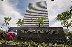
The region is managed by the Metropolitan Manila Development Authority (MMDA), a decentralized government body tasked with coordinating services across its diverse local government units. As one of the most densely populated areas in Asia, Metro Manila is a critical driver of the national economy, boasting a nominal GDP of US$ 152.250 billion as of 2025.
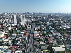
Key Facts
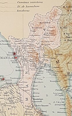
- Composition: Comprises 16 cities and 1 municipality (Pateros).
- Population: Approximately 14,001,751 (2024 census), making it the 2nd most populous region in the Philippines.
- Economic Power: Home to the premier financial center in Makati and the largest international shipping gateway at the Port of Manila.
- Human Development: Ranked 1st in the Philippines for Human Development Index (HDI) in 2023 with a score of 0.764.
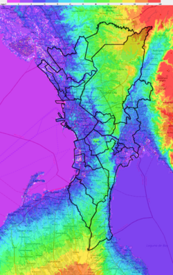
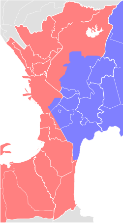
- Geography: Morphologically divided into the Central Plateau, Coastal Lowland, and Marikina Valley.
Etymology and Historical Evolution
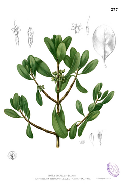
The name "Manila" is rooted in the phrase May-nilad, referring to the abundance of the nilad plant (Scyphiphora hydrophylacea), a white-flowered shrub that once grew plentifully along the shores of the Pasig River.
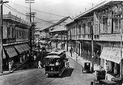
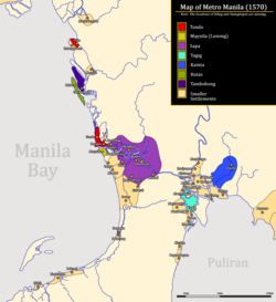
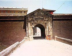
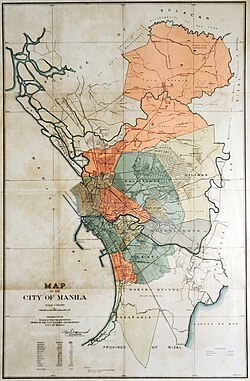
The region's history is a tapestry of shifting powers. It began as the Kingdom of Maynila before falling under Spanish rule, which established the walled city of Intramuros as the seat of power. Following the Spanish era, the region transitioned through the First Philippine Republic, American colonial administration, and a period of Japanese occupation during World War II. In 1942, the City of Greater Manila was created to consolidate administration during the war, though this was later reduced in 1945.
Geography and Climate
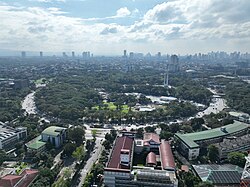
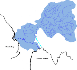
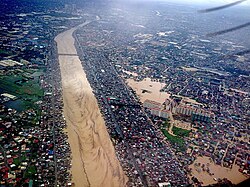
Metro Manila covers a regional area of 636.00 square kilometers. Its landscape is defined by the Pasig-Marikina River system, which serves as the primary drainage for the region. However, this geography makes the area susceptible to natural hazards, most notably severe flooding. A stark example occurred in 2009 during Typhoon Ketsana (Tropical Storm Ondoy), which resulted in 484 deaths within Metro Manila alone.
The climate is tropical, characterized by high temperatures and significant rainfall. The region typically experiences its wettest months from June to September, with Quezon City recording an average annual rainfall of 2,574.4 mm. Temperatures generally fluctuate between a mean daily minimum of around 23°C and maximums that can reach 38°C during the peak of summer.
Administrative Structure and Demographics
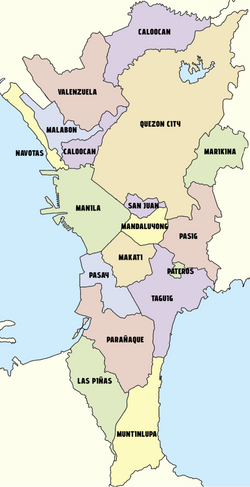
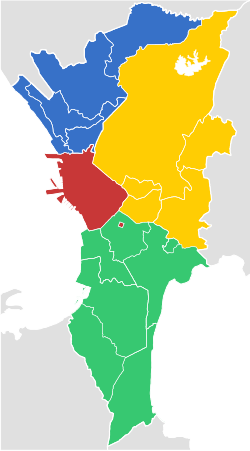
The National Capital Region is divided into four primary districts to streamline administration and urban planning:
| District | Included Cities/Municipality | Population | Area (km²) |
|---|---|---|---|
| Capital District (1st) | Manila | 1,902,590 | 42.34 |
| Eastern Manila (2nd) | Mandaluyong, Marikina, Pasig, Quezon City, San Juan | 5,008,857 | 236.36 |
| Northern Manila (3rd) | Caloocan, Malabon, Navotas, Valenzuela | 3,080,925 | 126.42 |
| Southern Manila (4th) | Las Piñas, Makati, Muntinlupa, Parañaque, Pasay, Pateros, Taguig | 4,009,379 | 208.28 |
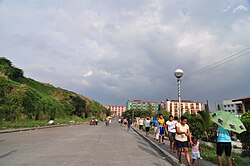
Population growth has been steady over the last century, rising from 328,939 in 1903 to over 14 million today. This rapid growth has led to significant urbanization challenges, including the emergence of informal settler communities, some of which have been addressed through projects like the Smokey Mountain Development and Reclamation Project in Tondo.
Economic Hubs and Infrastructure
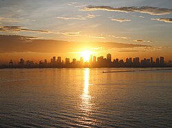
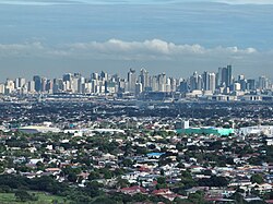
Metro Manila is the financial engine of the Philippines. Makati stands as the premier financial center, while Bonifacio Global City (BGC) in Taguig has emerged as a modern competitor with high-end corporate offices and luxury residences.
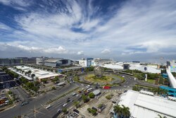
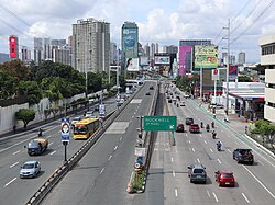
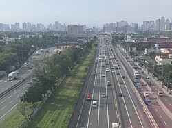
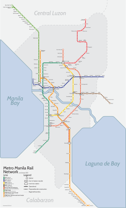
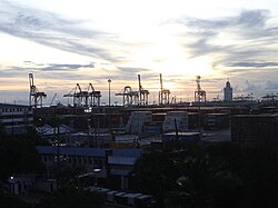
The region's infrastructure is a complex network of roads, railways, and waterways. Major arteries like EDSA and the Skyway facilitate the movement of millions, while the Metro Manila railway system provides essential mass transit. The Port of Manila remains the country's premier international shipping gateway, ensuring the flow of global trade.
Culture, Education, and Landmarks
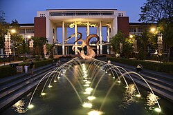
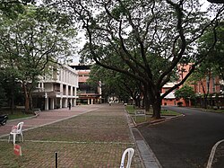
The region is home to world-class institutions and historic landmarks. In education, the University of the Philippines Diliman, Ateneo de Manila, and De La Salle University are among the most prestigious. For healthcare, St. Luke's Medical Center and the Philippine General Hospital provide critical services.
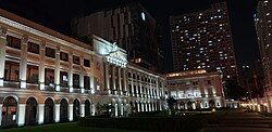
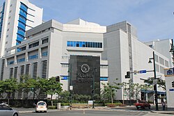
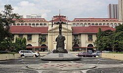
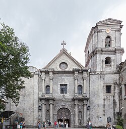
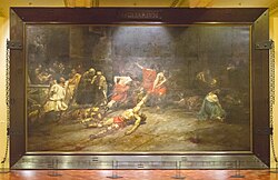
Cultural landmarks include the San Agustin Church, a UNESCO World Heritage Site, and the National Museum of the Philippines, which houses the famous "Spoliarium" painting. Binondo, founded in 1594, is recognized as the oldest Chinatown in the world.
![Binondo, founded in 1594, is considered as the oldest chinatown in the world.[127]](/images/e7/7d/e77d43980370b86325452a9eadd9c8589c34732ae78a0d6c403c7646a1807a17.jpg)
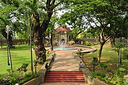
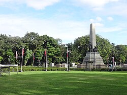
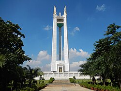
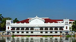
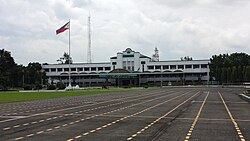
Public spaces such as Rizal Park and the Quezon Memorial Circle provide essential green lungs for the city, while the Malacañan Palace serves as the official residence of the President of the Philippines.
Frequently Asked Questions
What is the difference between Manila and Metro Manila?
Manila is a specific city and the capital of the Philippines. Metro Manila (the National Capital Region) is the larger metropolitan area that encompasses the city of Manila along with 15 other cities and one municipality.
Which is the most populous city in Metro Manila?
Based on 2024 data, Quezon City is the most populous city in the region, with a population of 3,084,270.
What is the role of the MMDA?
The Metropolitan Manila Development Authority (MMDA) is the managing entity that coordinates planning and services—such as traffic management and waste disposal—across the various local government units of the region.
What are the main geographic divisions of the region?
Metro Manila is morphologically divided into three major parts: the Central Plateau, the Coastal Lowland, and the Marikina Valley.
Is Binondo significant historically?
Yes, Binondo was founded in 1594 and is considered the oldest Chinatown in the world.