National Route 7: Argentina's Vital Link from Buenos Aires to the Andes
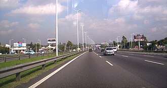
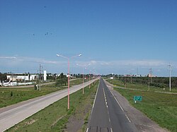
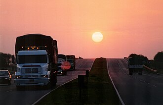
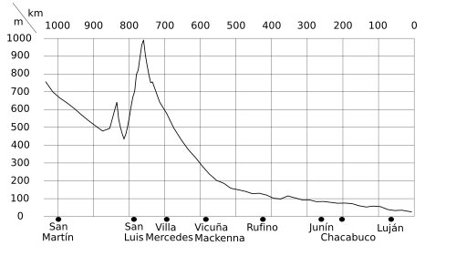
National Route 7, officially known as Ruta Nacional 7 Carretera Libertador General San Martín, is one of Argentina's most critical transport arteries. Stretching across the heart of the country, this road serves as a primary link between the Atlantic coast and the Andes mountains, connecting the capital city of Buenos Aires with the border of Chile.
Spanning a total length of 1,224 kilometers (761 miles), the route traverses five provinces: Buenos Aires, Santa Fe, Córdoba, San Luis, and Mendoza. Approximately 30% of the route, or 367 kilometers, consists of freeways, facilitating the movement of goods and travelers across diverse geographical landscapes.
Key Facts
- Total Length: 1,224 km (761 mi).
- Termini: Starts at the Buenos Aires City limits and ends at the Paso Internacional Los Libertadores (Chilean border).
- Provinces Crossed: Buenos Aires, Santa Fe, Córdoba, San Luis, and Mendoza.
- Infrastructure: Includes 14 tunnels and the massive Túnel del Cristo Redentor.
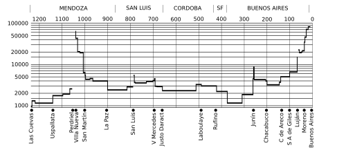
- High-Traffic Zone: The easternmost 10 km near Buenos Aires recorded 82,500 vehicles per day in 2001.
Historical Development and Evolution
The modernization of Route 7 occurred in stages over several decades. Paving began in earnest in the early 1940s, with the section between Chacabuco and Junín completed in June 1942. By October 1969, significant stretches between Rufino and Laboulaye were opened, and paving reached Villa Mercedes by 1975, creating a vital junction with National Route 8.
During the late 1970s, the road underwent significant upgrades in Mendoza Province. Between 1977 and 1979, sections connecting Mendoza and San Martín were converted into highways, including the construction of a new bridge over the Mendoza River.
A notable modern addition is the Autopista de las Serranías Puntanas in San Luis Province. This 212 km expressway, funded by the province and opened in April 2003, is distinguished by having lighting along its entire length.
Regional Geography and Route Details
The Santa Fe Section and La Picasa
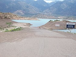
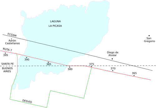
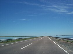
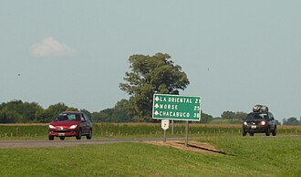
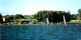
The route encountered a significant geographical challenge between 1998 and 1999 when the growth of Laguna La Picasa flooded 14.5 km of the road. This necessitated a rerouting project that eventually saw a new 10.5 km section open to traffic in June 2007.
Provincial Transit and Major Cities
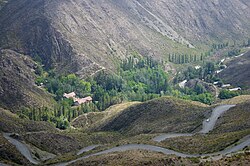
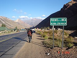
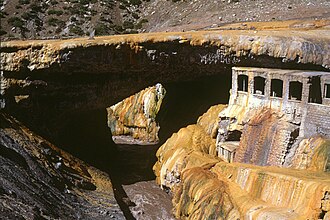
Route 7 serves as the backbone for numerous urban centers. In Buenos Aires Province, it passes through Morón, Luján, and Junín. In Córdoba, it links Laboulaye and Vicuña Mackenna, while in San Luis, it connects Villa Mercedes and the provincial capital. Finally, in Mendoza, it serves the capital and key tourist destinations such as Uspallata and Puente del Inca.
The Andean Ascent
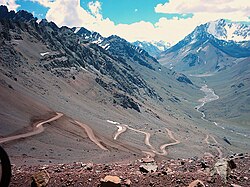
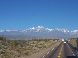
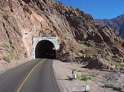
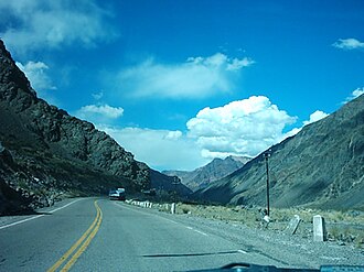
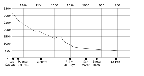
As the road enters the high altitudes of Mendoza, it becomes a feat of engineering. The route features numerous tunnels to navigate the rugged terrain of the Andes. The most significant is the Túnel del Cristo Redentor, which spans 3,080 meters.
Infrastructure and Management
Management of Route 7 has transitioned through various public and private partnerships. In 1990, the government introduced "Road Corridors" to allow private companies to collect tolls for maintenance. Companies such as New Routes and Caminos del Oeste managed various segments until contracts expired in 2003, leading to new tenders and the involvement of Autovía Oeste.
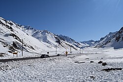
The final 180 km stretch leading to the Chilean border has been managed via recovery and maintenance contracts since 2007, ensuring the safety of the high-altitude pass.
Route Summary Table
| Feature | Detail |
|---|---|
| Total Distance | 1,224 km |
| Freeway Percentage | 30% (367 km) |
| Eastern Terminus | Buenos Aires (RN A001 / 25 de Mayo Highway) |
| Western Terminus | Paso Internacional Los Libertadores |
| Longest Tunnel | Túnel del Cristo Redentor (3,080 m) |
| Key Junctions | RN 5, RN 188, RN 33, RN 35, RN 8, RN 147, RN 40, RN 149 |
Frequently Asked Questions
What is the total length of National Route 7?
National Route 7 spans a total of 1,224 kilometers (761 miles) from Buenos Aires to the Chilean border.
Which provinces does National Route 7 cross?
The route crosses five Argentine provinces: Buenos Aires, Santa Fe, Córdoba, San Luis, and Mendoza.
What is the Autopista de las Serranías Puntanas?
It is a 212 km expressway in San Luis Province, opened in 2003, which is notable for being illuminated along its entire length.
How did Laguna La Picasa affect the road?
Between 1998 and 1999, the growth of the lagoon flooded 14.5 km of the road, requiring a reroute that was fully operational by June 2007.
What is the most significant tunnel on the route?
The Túnel del Cristo Redentor is the most significant, measuring 3,080 meters in length as it crosses the Andes toward the border.