Curaçao: A Vibrant Constituent Country of the Kingdom of the Netherlands
Curaçao is a captivating island nation located in the Caribbean, serving as a constituent country within the Kingdom of the Netherlands since October 10, 2010. Known for its colorful architecture, diverse cultural heritage, and stunning coastlines, the island blends European influence with deep Caribbean roots. From the bustling streets of its capital, Willemstad, to its serene white-sand beaches, Curaçao offers a unique intersection of history, nature, and modern governance.
The island is characterized by its multilingual society, where Papiamento (a Portuguese-based creole), Dutch, and English are all spoken, reflecting a complex colonial past and a cosmopolitan present.
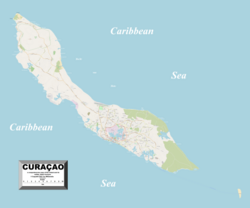
Key Facts
- Capital: Willemstad, the largest city and a major economic hub.
- Official Languages: Papiamento, Dutch, and English.
- Government: Parliamentary representative democracy under a constitutional monarchy.
- Currency: Caribbean guilder (XCG).
- Geography: A total area of 444 km², featuring 37 distinct beaches.
- UNESCO Status: The historic area of Willemstad was declared a World Heritage Site in 1997.
Geography and Natural Environment
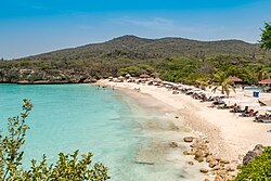
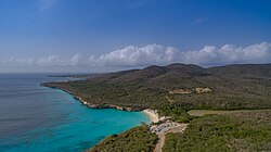
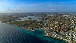
Curaçao's landscape is a mix of arid terrain and lush coastal areas, with its highest elevation reaching 372 meters. The island is world-renowned for its 37 beaches, the majority of which are located on the south side. Popular destinations include Grote Knip, Jan Thiel Beach, and Mambo Beach, which attract visitors for their crystal-clear waters and coral reefs.
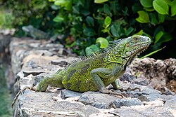
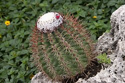
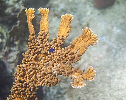
The island's biodiversity is equally impressive. The fauna includes the Green Iguana and various marine species, such as the yellowtail damselfish found among the Elkhorn coral. The flora is characterized by hardy species like the Melocactus macracanthos cactus, adapted to the island's semi-arid climate.
Climate Overview
Curaçao enjoys a tropical climate with consistent warmth throughout the year. The average daily mean temperature hovers around 28.1°C. While rainfall is relatively low, the heaviest precipitation typically occurs between October and December, with November averaging 141 mm of rain.
History and Architecture
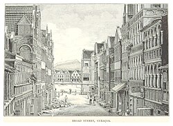
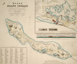
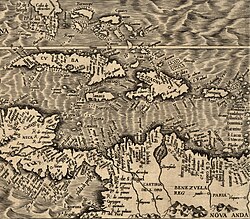
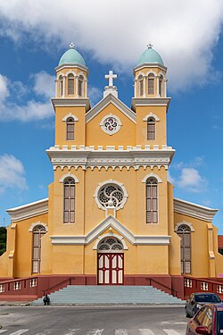
The history of Curaçao is marked by various colonial eras. Early maps from 1562 already indicated the island as "Qúracao." After periods of Spanish colonization, the island came under Dutch colonial rule, which profoundly shaped its urban development and legal systems.
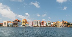
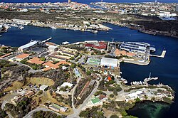
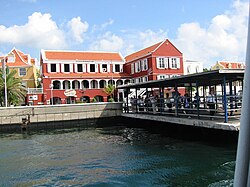
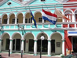
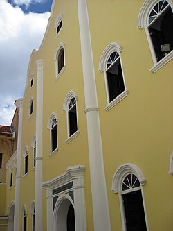
Willemstad, the capital, is a testament to this history. The city is divided by St. Anna Bay, with districts such as Punda, Otrobanda, and Scharloo. The architecture is famous for its bright colors, particularly the buildings of the Handelskade. The city also houses the Mikvé Israel-Emanuel Synagogue, the oldest surviving synagogue in the Western hemisphere.
Fortifications and Landmarks
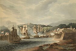
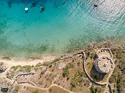
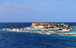
To protect its strategic harbor, Curaçao constructed several forts over the centuries. Notable examples include Fort Amsterdam (1635), Fort Beekenburg (1703), and Fort Nassau (1797). These structures highlight the island's historical importance as a naval and trade outpost in the Caribbean.
Government and Economy
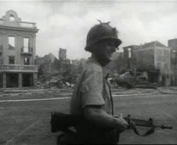
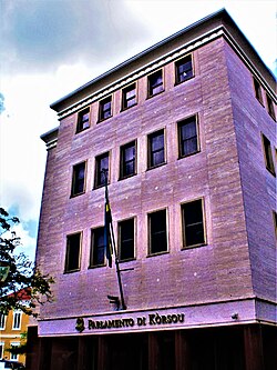
As a constituent country, Curaçao maintains its own parliament and prime minister while remaining part of the Kingdom of the Netherlands, with King Willem-Alexander as the monarch. The government is a parliamentary representative democracy.
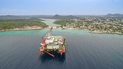
The economy is diversified, with significant contributions from tourism, financial services, and the oil industry. The presence of offshore oil platforms and refineries has historically been a cornerstone of the island's GDP. Tourism remains a primary driver, fueled by the island's status as a top cruise destination in the Southern Caribbean.
Infrastructure and Transport
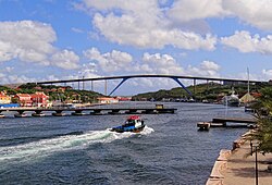
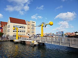
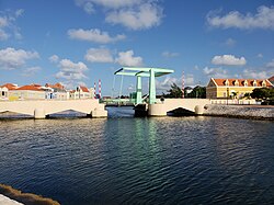
Transportation in Willemstad is characterized by its unique bridges, including the Queen Emma pontoon bridge and the Queen Juliana bridge. The island is served by Hato International Airport, facilitating both trade and tourism.
Demographics and Culture
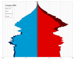
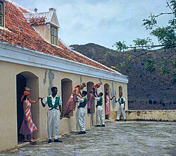
Curaçao is a melting pot of ethnicities. As of 2018, approximately 75.4% of the population identify as Curaçaoan, with significant minorities of Dutch, Dominican, and Colombian descent. Religion is predominantly Christian, with Catholicism accounting for 72.8% of the population.
Cultural expression is vibrant, seen in traditional arts like the Bulawaya dance and a strong passion for sports. While football is popular, baseball has a significant presence, producing notable athletes such as Jurickson Profar.
Summary of Island Statistics
| Category | Detail |
|---|---|
| Population (2023) | 155,826 |
| Total Area | 444 km² |
| GDP Per Capita (PPP 2021) | $35,484 |
| HDI (2012) | 0.811 (Very High) |
| Official Languages | Papiamento, Dutch, English |
| Main Religion | Catholicism (72.8%) |
Frequently Asked Questions

What is the status of Curaçao within the Kingdom of the Netherlands?
Curaçao is a constituent country. This means it has its own government and parliament to manage internal affairs but remains part of the larger Kingdom of the Netherlands.
What languages are spoken in Curaçao?
The official languages are Papiamento, Dutch, and English. Papiamento is the most widely spoken language among the local population.
Why is Willemstad a UNESCO World Heritage Site?
The historic area of Willemstad was recognized by UNESCO in 1997 due to its unique colonial architecture and its significance as a historic trading port in the Caribbean.
What are the main economic drivers of the island?
The economy relies heavily on tourism (especially cruise ships), financial services, and the oil industry, including refining and offshore platforms.
How many beaches are there in Curaçao?
Curaçao has 37 beaches, with the majority located on the south side of the island, including famous spots like Grote Knip and Jan Thiel Beach.