Amman: The Historic and Modern Heart of Jordan
Amman, the vibrant capital of Jordan, is a city where millennia of human history converge with rapid modern urbanization. Known by nicknames such as The White Pigeon and The City of Stairs, Amman is built across several hills, offering a unique cityscape that blends ancient ruins with contemporary skyscrapers. From its earliest settlements in 7000 BC to its current status as a regional economic hub, the city serves as the political, cultural, and financial center of the Hashemite Kingdom of Jordan.
Key Facts
- Population: Approximately 4,920,100 (2024 estimate).
- Total Area: 1,680 square kilometers.
- GDP (Nominal 2024): US$ 20.9 billion.
- Elevation: Ranges from 700 m to 1,100 m above sea level.
- First Settled: Around 7000 BC.
- Administrative Body: Greater Amman Municipality.
A Journey Through Time: From Prehistory to the Modern Era
Prehistoric and Iron Age Foundations
The roots of Amman stretch back to the Neolithic period. Some of the oldest large-scale human statues ever discovered, the ʿAin Ghazal statues, date back to this early era of settlement.
![The ʿAin Ghazal statues, which are considered to be the oldest large-scale human statues ever found, on display at the Jordan Archaeological Museum[20]](/images/e8/67/e867c340583083c2895a52e05ff37c382f071561d5b78e4641bc08110624b7b7.jpg)
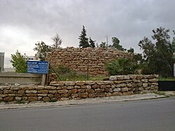
During the Iron Age, the city was known as Rabbath Amman. Evidence of early strategic architecture is still visible today, such as the Rujm Al-Malfouf, an Ammonite watch tower constructed around 1000 BC.
The Classical Period: Philadelphia
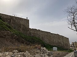
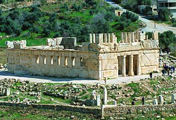
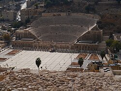
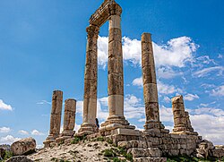
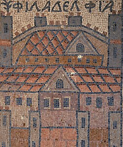
The Greeks later founded the city, renaming it Philadelphia. It eventually became part of the Decapolis, a league of ten Hellenistic cities, and flourished under Roman rule. This era left an indelible mark on the city's landscape, most notably the Roman Theatre and the Temple of Hercules located on the Citadel Hill (Jabal Al-Qalaa).
Islamic and Ottoman Influence
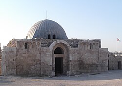
Following the Byzantine period, Amman transitioned into the Islamic era, seeing influence from the Rashidun Caliphate, the Umayyads, and later the Crusaders, Ayyubids, and Mamluks. The Umayyad Palace and mosque, built around AD 700, stand as testaments to this period.
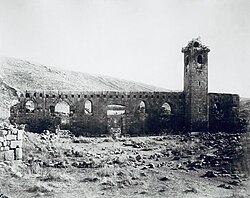
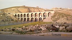
By the late Ottoman period, the city began to modernize. In 1879, a Circassian colony was established, and by 1910, the Ottoman Ten Arches Bridge was built as part of the Hejaz railway, connecting the region to the wider empire.
![The first scientific map of Amman, 1881. The British surveyors noted that: "The Circassian colony established by the Sultan at Amman about 1879 [is] neither prosperous nor likely to become so".[63]](/images/d0/0c/d00ce17c61141b48da466bff1747a3c71c8a20ac61d2de32c70afba975432b0c.jpg)
The Path to Independence
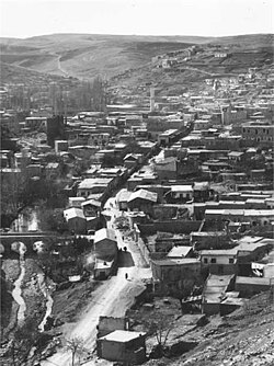
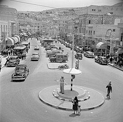
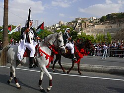
The 20th century saw Amman evolve from a small settlement into a bustling capital. After the establishment of the Emirate of Transjordan and subsequent independence, the city expanded rapidly. The 1920s and 50s marked a period of significant urban growth, transforming the downtown area and establishing main thoroughfares like King Faisal Street.
Geography and Climate
Amman is characterized by its hilly terrain and a Mediterranean-influenced climate. The city experiences distinct seasonal changes, with cool, rainy winters and hot, dry summers. Precipitation is highest in December, while July and August are the warmest months.
| Metric | East Amman (Airport) | West Amman (University) |
|---|---|---|
| Mean Daily Max (Yearly) | 23.9°C | 21.5°C |
| Daily Mean (Yearly) | 18.1°C | 16.7°C |
| Mean Daily Min (Yearly) | 12.7°C | 10.5°C |
| Highest Elevation | 779 m | 1,000 m |
Modern Urban Life and Economy
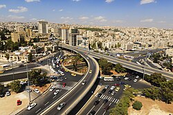
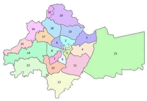
Today, Amman is a sprawling metropolis divided into 22 administrative areas under the Greater Amman Municipality. The city is a hub for banking, tourism, and business, with a nominal GDP of US$ 20.9 billion in 2024.
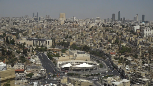
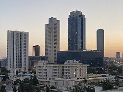
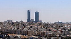
The cityscape is a mix of traditional stone architecture and futuristic developments. The New Abdali district represents the city's modern ambitions, featuring high-rise construction and the Jordan Gate towers.
Culture and Education
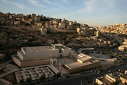
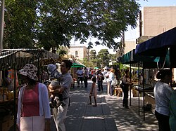
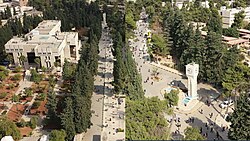
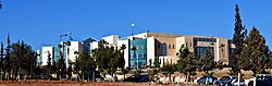
Amman is a center for higher learning, hosting numerous institutions including the University of Jordan, Al-Ahliyya Amman University, and the German-Jordanian University. Culturally, the city is known for its diverse population, including significant communities from Syria, Egypt, and Palestine.
Infrastructure and Transportation
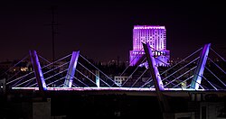
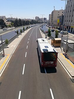
The city's infrastructure has evolved to meet the needs of its nearly 5 million residents. Key landmarks include the Abdoun Bridge and the recently implemented Bus Rapid Transit (BRT) system, which aims to alleviate the city's notorious traffic congestion.
Frequently Asked Questions
What are the most famous historical sites in Amman?
The most prominent sites include the Amman Citadel (Jabal Al-Qalaa), which houses the Temple of Hercules and the Umayyad Palace, and the Roman Theatre, a well-preserved amphitheatre from the second century AD.
What is the climate like in Amman?
Amman has a Mediterranean climate with hot, dry summers and cool, wet winters. Temperatures vary by elevation, with West Amman generally being cooler than East Amman.
How has Amman's population grown over time?
The city has seen explosive growth, from just 500 people in 1879 to over 4.9 million by 2024, driven by urban migration and regional geopolitical shifts.
What is the New Abdali project?
New Abdali is a modern urban development project designed to be the new downtown of Amman, featuring contemporary architecture, business centers, and high-rise towers.
Which universities are located in Amman?
Amman is a major educational hub with institutions such as the University of Jordan, Princess Sumaya University for Technology, and the University of Petra, among many others.