Ulaanbaatar: The Coldest Capital and Heart of Mongolia
Ulaanbaatar is the capital and most populous city of Mongolia, serving as the nation's primate city and the focal point for its urbanization. Situated in north-central Mongolia within a valley on the Tuul River, the city sits at an elevation of approximately 1,300 meters (4,300 ft). It is distinguished globally as the coldest capital city in the world by average yearly temperature.
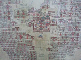
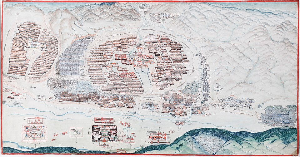
The city's origins are unique; it was founded in 1639 as a nomadic Buddhist monastic centre. True to its nomadic roots, the settlement changed locations 29 times before permanently settling in its current location in 1778.
Key Facts
- Population: 1,796,045 (2025 estimate).
- Global Distinction: Coldest capital city by average annual temperature.
- Founded: 1639 as a mobile monastic centre.
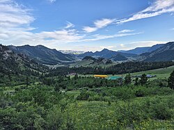
- Geography: Located in the Tuul River Valley, dominated to the south by Bogd Khan Mountain.
- Economy: GDP of approximately US$ 17.5 billion (2025).
Historical Evolution
From Mobile Monastery to Capital
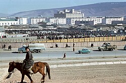
Originally known as Urga, the city began as a mobile religious hub. Early Western accounts, such as those by Scottish traveller John Bell in 1721, document its early presence. Over time, it grew into a significant trade hub, particularly through the Kyakhta trade. In 1912, a Jarlig proclaimed Ikh Khüree as Niislel (Capital) Khüree, and it was eventually renamed Ulaanbaatar in 1924.
Colonial and Contemporary Influence
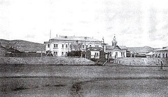
The 19th century saw the introduction of foreign diplomatic presence, including the Russian Consulate and the Holy Trinity Church, both established in 1863. The city's layout evolved from temple-palace complexes, such as the Zuun Khuree and Gandan, to include the Maimaicheng district.
Geography and Climate
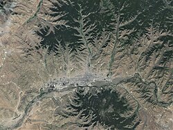
Ulaanbaatar's geography is defined by the surrounding mountains and the Tuul River. The city's climate is classified as BSk (cold semi-arid). It experiences extreme temperature swings, with record highs reaching 39.0°C (102.2°F) in July and record lows plummeting to -43.9°C (-47.0°F) in January.
| Month | Mean Max (°C) | Mean Min (°C) | Avg Precipitation (mm) |
|---|---|---|---|
| January | -7.5 | -37.1 | 2.1 |
| July | 32.8 | 5.1 | 74.5 |
| Yearly Avg | - | - | 273 |
Urban Landscape and Demographics
The Cityscape
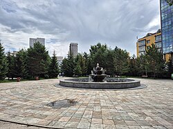
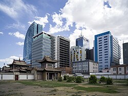
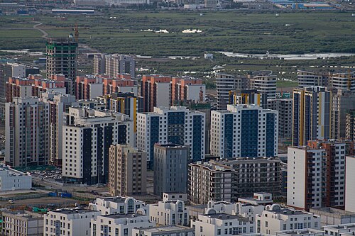
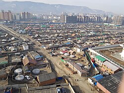
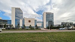
The modern city is a blend of socialist-era Ugsarmal panel buildings and contemporary high-rises. A defining feature of Ulaanbaatar is the ger districts—areas where traditional Mongolian felt tents (gers) are used as residences, often sprawling into the northern mountainous regions.
Population Growth
Ulaanbaatar has experienced rapid urbanization. In 1950, the population was just 69,951; by 2020, it had grown to over 1.39 million. This growth is driven largely by migration from rural areas, although 64.6% of the current population was born within the city.
Culture, Education, and Landmarks
Religious and Artistic Heritage
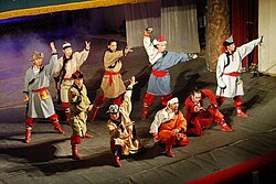
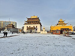
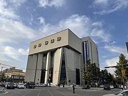
The city is home to several significant monasteries and museums, including the Gandantegchinlen Monastery and the Choijin Lama Temple complex. The Zanabazar's Fine Arts Museum and the National Museum of Mongolia preserve the nation's rich artistic and historical legacy.
Education and Knowledge
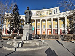
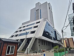
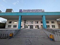
Ulaanbaatar is the intellectual center of Mongolia, hosting the National University of Mongolia and the National Library of Mongolia, alongside various specialized and digital libraries.
Infrastructure and Environment
Transport and Energy
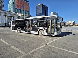
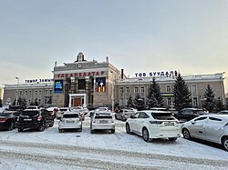
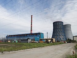
The city relies on a mix of road, rail, and air transport. While the railway station connects the city to the wider region, road congestion remains a significant challenge. Energy is provided by facilities such as Thermal Power Plant No. 4.
Environmental Challenges
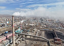
Air pollution is a critical issue in Ulaanbaatar, particularly during winter. Coal-fired power plants, such as the No. 3 plant, are among the leading pollutants, contributing to toxic air levels despite efforts to introduce improved fuels.
Frequently Asked Questions
Why is Ulaanbaatar called the coldest capital city?
Ulaanbaatar is the coldest capital city in the world based on its average yearly temperature, largely due to its high elevation and inland location far from the moderating influence of oceans.
What are ger districts?
Ger districts are residential areas on the outskirts of the city where traditional Mongolian gers (felt tents) are used, often contrasting with the high-rise apartment buildings in the city center.
How did Ulaanbaatar start as a city?
It began in 1639 as a nomadic Buddhist monastic centre that moved 29 times before finally settling in its current location in 1778.
What are the main causes of pollution in the city?
The primary causes of pollution are coal-fired power plants (such as Power Plant No. 3) and the burning of fuel for heating in the ger districts during the extreme winter months.
What are some of the city's most important landmarks?
Key landmarks include the Gandantegchinlen Monastery, the Choijin Lama Temple, Sükhbaatar Square, and the National Museum of Mongolia.