Exploring South Dakota: The Mount Rushmore State
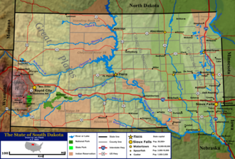
Located in the heart of the United States, South Dakota (known in the indigenous language as Dakȟóta itókaga) is a state defined by vast landscapes, rich history, and a resilient spirit. From the rugged peaks of the Black Hills to the expansive plains that characterize much of its territory, South Dakota offers a diverse tapestry of geography and culture.
Admitted to the Union on November 2, 1889, as the 39th state, South Dakota has evolved from the Dakota Territory into a modern state with a unique blend of agricultural roots and growing urban centers. Whether you are drawn to its iconic monuments or its deep-seated traditions, South Dakota remains a cornerstone of the American Midwest.
Key Facts
- Official Nickname: The Mount Rushmore State
- State Capital: Pierre
- Largest City: Sioux Falls
- State Motto: "Under God, the People Rule"
- Official Languages: English and Sioux
- Total Area: 77,116 sq mi (199,729 km)
Geography and Climate
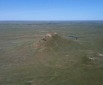
South Dakota's terrain is remarkably varied. The western portion of the state is dominated by the Black Hills, a low mountain range that provides a stark contrast to the eastern prairies. This region features dramatic geological formations, including buttes—isolated hills with steep sides and flat tops—and the striking landscapes of Badlands National Park.
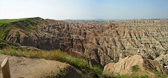
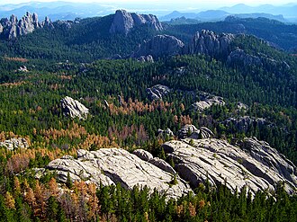
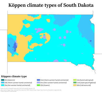
The state's elevation varies significantly, ranging from a low of 968 feet at Big Stone Lake on the Minnesota border to a high of 7,244 feet at Black Elk Peak. This topographical diversity influences the state's Köppen climate types, which categorize climates based on temperature and precipitation patterns.
Seasonal Variations
Weather in South Dakota can be extreme. Cities like Aberdeen, Huron, Rapid City, and Sioux Falls experience distinct seasonal shifts. Winters can be harsh, with temperatures often dropping well below freezing, while summers can bring significant warmth. This climate has historically shaped the state's agricultural practices and its relationship with the land.
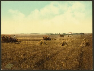
![A South Dakota farm during the Dust Bowl, 1936. Normal tillage practices turn South Dakota's fragile soil into a fine, loose powder that blows away, and sometimes covered vehicles, equipment, and buildings with dust during the Dust Bowl.[42]](/images/11/42/1142cad9129dd28da40f185b81fe1abb64faa52b44fc767022e103bf5b83b6d1.jpg)
Demographics and Culture
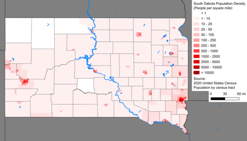
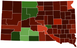
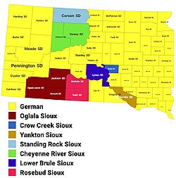
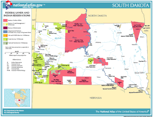
As of 2025, South Dakota has an estimated population of 935,094. The state is characterized by a relatively low population density of approximately 11.5 people per square mile. The population is predominantly White (84.2%), with significant American Indian and Alaska Native communities (8.5%) and a growing Hispanic or Latino presence (4.9%).
Language and Religion
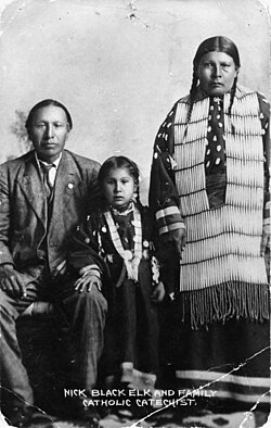
While English is the primary language, Sioux is recognized as an official indigenous language. The cultural fabric is also influenced by religious diversity, with Christianity being the most prominent faith (72.0%), followed by those who are unaffiliated (21.0%).
Government and Economy
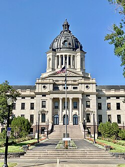
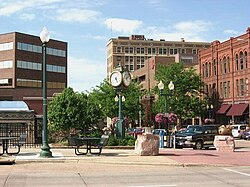
South Dakota operates under a state government led by a Governor and Lieutenant Governor. The state legislature is bicameral, consisting of a Senate and a House of Representatives. The judicial branch is headed by the South Dakota Supreme Court.

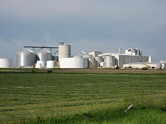
The economy is multifaceted. Agriculture remains a vital sector, supported by industries such as ethanol production. Additionally, the state hosts significant military presence, with facilities like Ellsworth Air Force Base serving as major employers.

Tourism and Landmarks
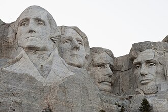
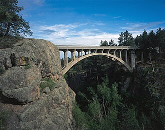
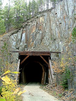
South Dakota is home to world-renowned landmarks that draw visitors from across the globe. Mount Rushmore, carved into the Black Hills, is perhaps the most famous symbol of the state. For nature enthusiasts, the state offers diverse recreation, from hiking the George S. Mickelson Trail to exploring the unique ecosystems of Wind Cave National Park.
State Profile Summary
| Category | Details |
|---|---|
| Capital | Pierre |
| Largest City | Sioux Falls |
| Total Area | 77,116 sq mi |
| Highest Point | Black Elk Peak (7,244 ft) |
| Median Household Income | $71,800 (2023) |
| Time Zones | Central (East) & Mountain (West) |
Frequently Asked Questions
What is the official nickname of South Dakota?
The official nickname of South Dakota is The Mount Rushmore State. It also has two unofficial nicknames: the Coyote State and the Sunshine State.
What are the primary languages spoken in South Dakota?
English is the primary language, but Sioux is recognized as an official indigenous language. Other spoken languages include Spanish, Dakota, and German.
How many people live in South Dakota?
As of 2025 estimates, the population of South Dakota is approximately 935,094.
What is the highest point in the state?
The highest elevation in South Dakota is Black Elk Peak, which reaches 7,244 feet (2,208 meters).
Which city is the largest in South Dakota?
Sioux Falls is the largest city in the state, with a population of approximately 192,000.