Rio de Janeiro: The Vibrant Metropolis Between Mountains and Sea
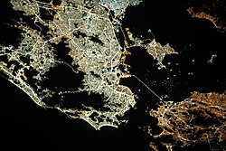
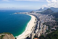
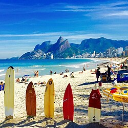
Rio de Janeiro is one of the most iconic cities in the world, renowned for its breathtaking natural landscapes and pulsating cultural energy. Located in the Southeast region of Brazil, this municipality is a striking blend of urban density and raw nature, where granite peaks meet the Atlantic Ocean. Known as the Carioca (the demonym for its residents), the city serves as a global symbol of Brazilian identity, from its world-famous beaches to its deep historical roots.
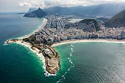
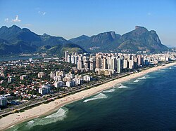
The city's unique geography is so significant that it was designated a UNESCO World Heritage Site in 2012 under the title "Carioca Landscapes between the Mountain and the Sea." This recognition highlights the harmonious, yet dramatic, relationship between the city's built environment and its surrounding topography.
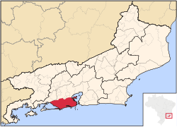
Key Facts
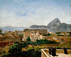
- Founded: 1 March 1565.
- Population: Approximately 6.73 million in the municipality (2025), with a metropolitan population of 13.93 million.
- UNESCO Status: Cultural World Heritage Site since 2012.
- Economy: Metropolitan GDP (PPP) of $285.9 billion (2023).
- HDI: 0.805 (Very High).
- Highest Point: 1,020 meters.
A Journey Through History
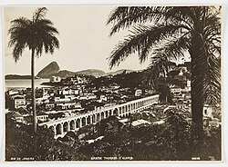
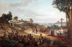
The settlement of Rio de Janeiro began in 1555, though it was officially founded on 1 March 1565. Over the centuries, the city evolved from a colonial outpost of the Kingdom of Portugal into the capital of the Empire of Brazil and later a central hub of the Republican period.
The city's history is marked by both grandeur and tragedy. While it served as a seat of royal power, it was also a primary entry point for the Atlantic slave trade. The Valongo Wharf stands as a somber reminder of this era, where between 500,000 and one million Africans were trafficked into the colony.
![Between 500 thousand and one million Africans were trafficked at Valongo Wharf through the Atlantic slave trade[19]](/images/00/91/00911fbdd60a811171473772a230701c20350f648631694b4f3dc6da91ddb137.jpg)
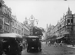
As the city grew, it transformed into a modern metropolis. By the early 20th century, Rio had established itself as a cultural beacon, blending European architectural influences with a burgeoning local identity.
Geography and Climate
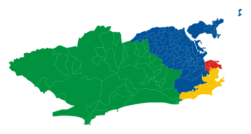
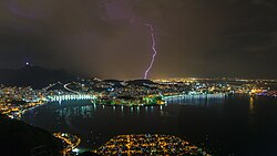
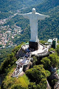
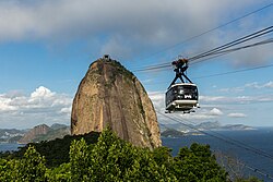
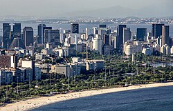
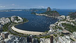
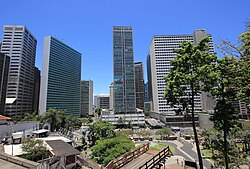
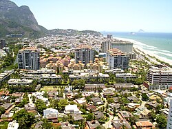
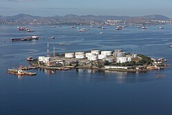
Rio de Janeiro is defined by its dramatic coastline and mountainous interior. The city is divided into several zones: the Central Zone, South Zone, North Zone, and West Zone. Its most famous landmarks, such as the Corcovado mountain and Sugarloaf Mountain, provide panoramic views of Guanabara Bay.
The climate is generally tropical, characterized by warm temperatures and significant rainfall. While the city center (Saúde) sees an average annual precipitation of 1,069.4 mm, higher elevations like Alto da Boa Vista receive significantly more, averaging 2,365.8 mm per year. Temperatures can reach extremes, with record highs exceeding 43°C in some districts like Bangu.
Demographics and Society
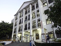
Rio is a melting pot of ethnicities and religions. The population is predominantly White (45.4%) and Pardo (Multiracial, 38.7%), with a significant Black population (15.6%). The city maintains strong ties to its Portuguese heritage, often cited as the largest Portuguese city outside of Portugal.
![Portuguese immigrant in Rio de Janeiro, considered the largest "Portuguese city" outside Portugal[100]](/images/68/7e/687e7e3c12ab2e503f4b49b0b39a759c68862c980526a8ec0368de1e713710ec.jpg)
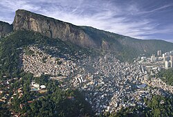
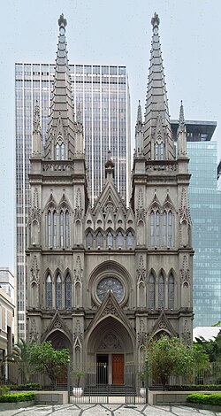
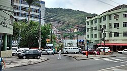
Religion remains a central part of social life, with Roman Catholicism being the most prevalent faith (51.1%), followed by Protestantism (23.4%). The city also exhibits a diverse social landscape, ranging from the affluent neighborhoods of the South Zone to the favelas (slums), such as Rocinha, the largest in Brazil.
Urban Infrastructure and Economy
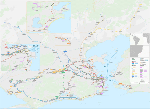
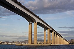
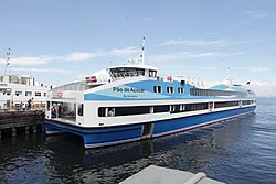
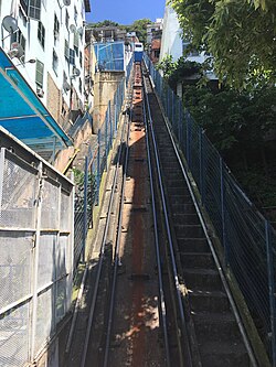
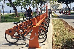
Rio's economy is diverse, with tourism being a primary driver. The city boasts a complex transport network including the Rio de Janeiro Metro, the SuperVia urban train, and the Light Rail. For those crossing the bay, ferries provide essential connectivity to Niterói via the Rio-Niterói Bridge.
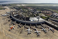
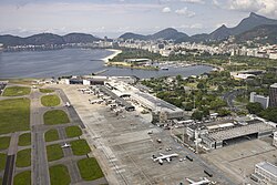
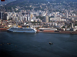
The city is served by two major airports: Galeão International Airport for long-haul flights and Santos Dumont Domestic Airport, located closer to the city center. The Port of Rio de Janeiro remains a critical hub for international trade and logistics.
Culture, Arts, and Sports
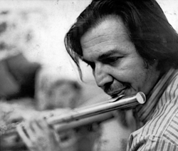
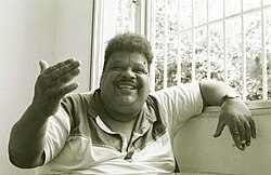
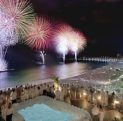
Culture is the heartbeat of Rio. The city is the birthplace of Bossa Nova, internationalized by legends like Tom Jobim, and a center for soul music, represented by Tim Maia. The annual Rio Carnival, featuring the massive Samba Parade at the Sambódromo, is one of the world's largest parties.
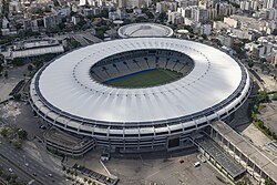
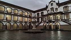
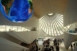
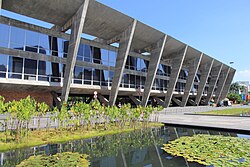
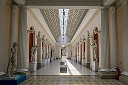
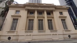
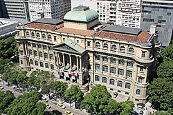
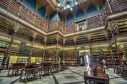
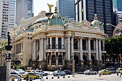
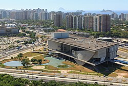
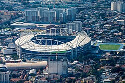
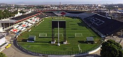
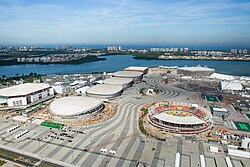
Architectural and artistic landmarks abound, from the futuristic Museum of Tomorrow to the historic Municipal Theater. The city is also a global sports capital, home to the legendary Maracanã Stadium and the Barra Olympic Park, built for the 2016 Summer Olympics.
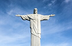
No visit to Rio is complete without seeing the Christ the Redeemer statue, which overlooks the city from the peak of Corcovado, and taking the cable car up Sugarloaf Mountain.
City Overview Summary
| Category | Detail |
|---|---|
| Area | 1,221 km² (Municipality) / 4,539.8 km² (Metro) |
| Population (2025) | 6,730,729 (Municipality) |
| GDP per capita (Metro) | $23,700 (PPP, 2023) |
| Primary Language | Portuguese |
| Major Landmarks | Christ the Redeemer, Sugarloaf, Maracanã |
| Climate Type | Tropical |
Frequently Asked Questions
![Replica of the Ganges River at the scenic city of Projac, the second-largest television complex in Latin America[225]](/images/87/a3/87a3b0d715cb08f7c2502d4810c7b7470aab8255ad77240537db922cce51aa3a.jpg)
What is a "Carioca"?
A Carioca is the demonym used to describe a person born in or living in the city of Rio de Janeiro.
Why is Rio de Janeiro a UNESCO World Heritage Site?
It was designated as a Cultural site in 2012 because of its "Carioca Landscapes between the Mountain and the Sea," recognizing the unique integration of urban development with the natural environment.
What are the main airports in Rio de Janeiro?
The city is served by the Galeão International Airport (GIG) for international travel and the Santos Dumont Domestic Airport (SDU) for domestic flights.
Which is the largest favela in Brazil?
Rocinha, located in Rio de Janeiro, is recognized as the largest slum (favela) in Brazil.
What is the significance of the Valongo Wharf?
The Valongo Wharf is a historical site where between 500,000 and one million enslaved Africans arrived during the Atlantic slave trade.