Exploring Rhode Island: The Ocean State's Rich History and Geography
Known affectionately as "The Ocean State" or "Little Rhody," Rhode Island is a compact yet culturally dense state located in the New England region of the United States. Despite its small size, it holds a significant place in American history, from its colonial origins to its role in the Industrial Revolution. Whether you are interested in its coastal landscapes, its storied past, or its vibrant modern economy, Rhode Island offers a unique glimpse into the American experience.
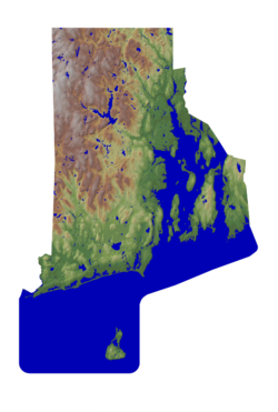
Key Facts
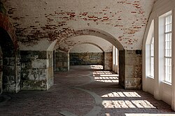
- Capital: Providence
- Statehood: Admitted to the Union on May 29, 1790
- Motto: Hope
- Total Area: 1,545 sq mi (33.1% water)
- Population Density: 1,000/sq mi (2nd highest in the U.S.)
- Largest City: Providence
A Journey Through History
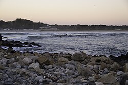
The origins of the name "Rhode Island" remain a subject of historical debate, though two specific events are believed to have influenced its naming. The state's formal history began in the colonial era, marked by the founding of the settlement of Providence Plantations in 1636.
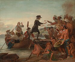
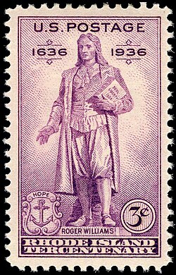
Colonial and Revolutionary Eras
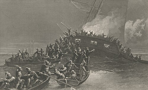
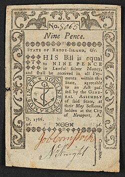
During the colonial period, Rhode Island established itself as a distinct entity. As the American Revolution approached, the state became a site of significant political tension. One notable event was the protest against British customs laws, which saw Providence revolutionaries burn the HMS Gaspee in Warwick.
Industrialization and the Gilded Age
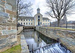
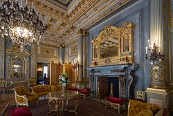
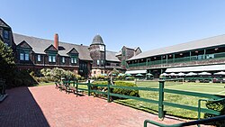
Rhode Island played a pivotal role in the Industrial Revolution. Pawtucket is home to Slater Mill, which is widely cited as the birthplace of this era in the United States. Following this industrial boom, the state experienced the opulence of the Gilded Age, particularly in coastal areas like Newport.
![In 1680, Newport was the third largest Anglo-American city. It remained a prosperous population center until the 1770s.[48]](/images/53/99/5399012742323ce846266b43c39e65458002864e93d4ba2c8b63807ede5b6829.jpg)
Geography and Climate
Rhode Island is characterized by its diverse coastal features and relatively small landmass. Of its total 1,545 square miles, approximately 33.1% is comprised of water, reflecting its identity as a maritime state.
The state's topography varies, with the highest elevation reaching 810 feet at Jerimoth Hill, while the lowest point is at sea level along the Atlantic Ocean. The coastline is a major feature of the state's landscape, offering various recreational opportunities.
Major Cities and Municipalities
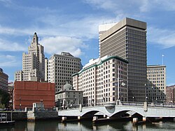
While the state is small, it contains several significant urban centers. Providence serves as the capital and the largest city, followed by Cranston, Warwick, and Pawtucket. Newport remains a prominent cultural and historical hub, particularly known for its maritime history and landmarks.
Demographics and Society

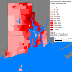
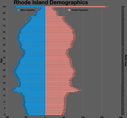
As of 2025, the estimated population of Rhode Island is 1,114,521. The state is highly urbanized, boasting the second-highest population density in the country at 1,000 people per square mile.
Cultural Diversity
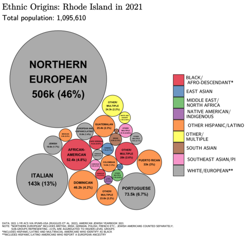
Rhode Island is a diverse state. According to 2020 census data, the population is approximately 68.7% White (non-Hispanic), 16.6% Hispanic or Latino, 5.0% Black (non-Hispanic), and 3.4% Asian. This diversity is reflected in the state's religious landscape, where approximately 72% of the population identifies as Christian.
Economy and Infrastructure
The economy of Rhode Island is supported by various sectors, including government, healthcare, and education. Major employers include the State of Rhode Island, Brown University Health, and the U.S. federal government. The state is also home to significant corporate entities like CVS Caremark.
Transportation and Connectivity
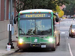
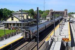
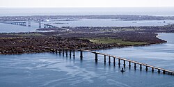
The state utilizes a variety of transportation methods to move its residents. This includes a statewide bus system operated by the Rhode Island Public Transit Authority, rail services, and various highway networks. For those traveling between coastal points, bridges and ferries are essential.
Education and Innovation
Higher education is a cornerstone of the Rhode Island community. The state hosts several prestigious institutions, including Brown University, the University of Rhode Island, and the Rhode Island School of Design. Additionally, Rhode Island is moving toward renewable energy, evidenced by the Block Island Wind Farm, the first commercial offshore wind farm in the United States.
![University Hall at Brown University is one of the oldest academic buildings in the United States.[168]](/images/b4/92/b4923ec85f89d64422d67f8776b592fc2eeeb00dad7297f29ce6f393a9060336.jpg)
![The Block Island Wind Farm is the first commercial offshore wind farm in the United States.[87]](/images/71/00/710078e916b134693421f039b3677a3e349baec860f17c866436f03e9278daa2.jpg)
Summary of Rhode Island Statistics
| Category | Detail |
|---|---|
| Capital City | Providence |
| Total Area | 1,545 sq mi |
| Water Percentage | 33.1% |
| Highest Point | Jerimoth Hill (810 ft) |
| Median Household Income | $85,000 (2023) |
| Official Motto | Hope |
Frequently Asked Questions
What is the largest city in Rhode Island?
Providence is the capital and the largest city in Rhode Island, with a population of approximately 190,934.
What are some famous landmarks in Rhode Island?
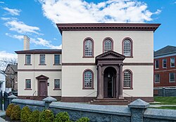
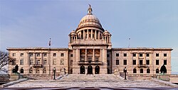
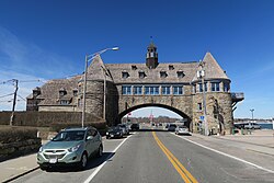
Notable landmarks include the Rhode Island State House, the Touro Synagogue in Newport, and the Towers, which is a landmark in Narragansett.
Is Rhode Island a densely populated state?
Yes, Rhode Island has a very high population density of 1,000 people per square mile, ranking 2nd in the United States.
What is the state's primary source of renewable energy?
The state features the Block Island Wind Farm, which is the first commercial offshore wind farm in the United States.
What is the climate like in Rhode Island?
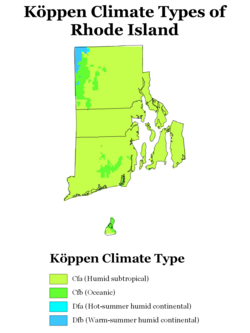
The state's climate is categorized by Köppen climate types, which are influenced by its coastal location and proximity to the Atlantic Ocean.