North Carolina: History, Geography, and Culture of the Tarheel State
Known affectionately as the Tarheel State or the Old North State, North Carolina is a land of striking contrasts. From the rugged peaks of the Appalachian Mountains to the sandy shores of the Atlantic Ocean, it offers a diverse landscape and a rich historical tapestry. With a motto, Esse quam videri ("To be, rather than to seem"), the state balances a deep respect for its colonial and revolutionary roots with a forward-looking commitment to technology and education.
As the 12th state admitted to the Union on November 21, 1789, North Carolina has evolved from a series of early colonial settlements into a modern economic powerhouse, boasting some of the fastest-growing urban centers in the United States.
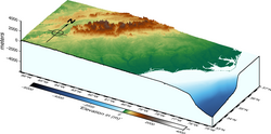
Key Facts
- Capital: Raleigh
- Largest City: Charlotte
- Population: Approximately 11,197,968 (2025 estimate)
- Highest Point: Mount Mitchell (6,683 ft)
- State Slogan: First in Flight, First in Freedom
- Major Economic Hubs: Charlotte Metro and the Research Triangle
A Journey Through History
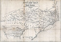
Early Settlements and Colonial Era
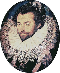
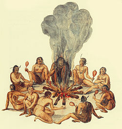
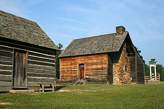
The history of North Carolina began long before European arrival with various Native American populations. Early English attempts at colonization were marked by mystery, most notably the "Lost Colony" of Roanoke. Later, the region developed into a formal colony, eventually establishing permanent settlements and royal governance, exemplified by the Tryon Palace in New Bern.
Revolution and Civil War
North Carolina played a pivotal role in the American Revolution, with the Halifax Resolves serving as an early call for independence. However, the 19th century brought deep division. During the American Civil War, the state was a primary battleground, seeing significant conflict at sites like Guilford Court House and the eventual capture of Fort Fisher in 1865.
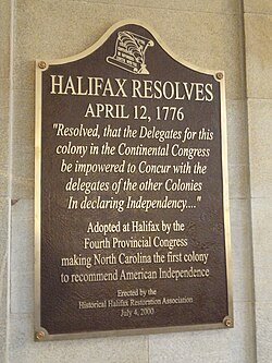
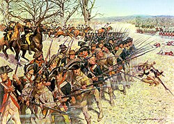
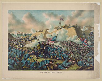
Reconstruction and the Modern Era
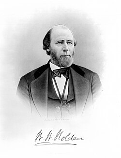
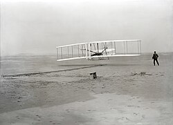
The Reconstruction era was a period of intense political transition, led by figures such as Governor William Woods Holden. The 20th century saw the state transition from an agrarian economy to an industrial and technological leader. A defining moment occurred in 1903 near Kitty Hawk, where the Wright brothers achieved the first successful powered flight, cementing the state's legacy as "First in Flight."
Geography and Climate
Diverse Landscapes
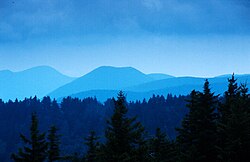
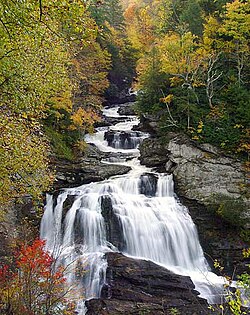
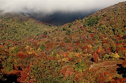
North Carolina's geography is divided into distinct regions. The west is dominated by the Blue Ridge Mountains and the Shining Rock Wilderness Area, featuring the state's highest peak, Mount Mitchell. The central Piedmont region consists of rolling hills and plateau lands, while the eastern Coastal Plain leads to the Atlantic Ocean and the Outer Banks.
Climate and Environment
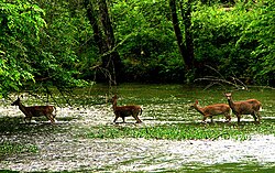
The state experiences a varied climate based on elevation and proximity to the coast. While coastal areas like Cape Hatteras maintain milder winters, the mountain regions like Boone experience significantly colder temperatures and higher snowfall. The state is home to diverse flora and fauna, including the state bird (Cardinal) and the state tree (Pine).
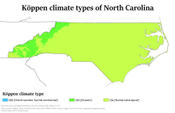
| City | January (Low/High) | July (Low/High) | Annual Precipitation |
|---|---|---|---|
| Asheville | 27 / 47 | 64 / 84 | 46.9" |
| Charlotte | 30 / 51 | 68 / 89 | 46.9" |
| Raleigh | 31 / 51 | 70 / 90 | 46.9" |
| Wilmington | 36 / 56 | 73 / 90 | 46.9" |
Demographics and Society
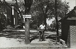
Population and Ethnicity
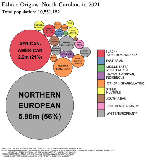
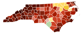
As of the 2020 census, North Carolina's population is diverse. Non-Hispanic Whites make up approximately 60.5% of the population, followed by African Americans at 20.2% and Hispanics or Latinos at 10.7%. The state has seen a steady increase in its Asian population (3.3%) and those identifying as multiracial.
Language and Religion
English is the primary spoken language (90.7%), with Spanish being the most common second language (6.93%). Religiously, the state remains strongly influenced by Protestantism, with Evangelical Protestants comprising 35% of the population, followed by unaffiliated individuals (20%) and Mainline Protestants (19%).
Economy and Infrastructure
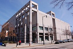
Urban Hubs and Innovation
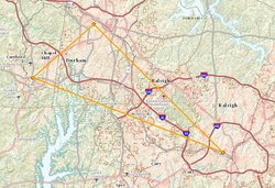
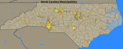
North Carolina is anchored by four major combined statistical areas. The Charlotte Metro is a global financial center, housing the headquarters of Bank of America and Truist. The Research Triangle, encompassing Raleigh, Durham, and Chapel Hill, is a world-renowned hub for healthcare, technology, and higher education, supported by NC State, Duke, and UNC Chapel Hill.
![Charlotte is home to the headquarters of Bank of America (foreground) and Truist (background), two of the largest banks in the United States. Bank of America is the largest company headquartered in North Carolina.[165]](/images/77/ce/77ce67662836ecf7e3e97a0ae6432aeb53ffb2dc4f7da55fce89f5fbcc05b549.jpg)
Transportation and Tourism
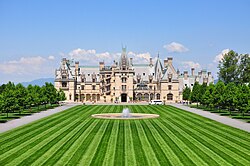
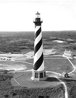
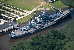
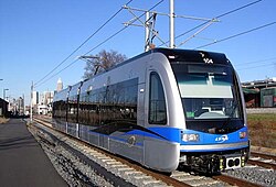
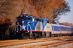
The state's infrastructure includes a comprehensive network of interstates and the state-owned Piedmont train service. Tourism is a major driver, with visitors flocking to the Biltmore Estate in Asheville, the Cape Hatteras Lighthouse, and the USS North Carolina battleship in Wilmington.
Frequently Asked Questions
![Largest alone or in any combination ethnic origin by county in North Carolina, per the 2020 census[134]](/images/06/30/0630d366ea7e58bdd5ab347ae58a416befecdd3d881abfc9301d99f33ca20327.jpg)




What is the meaning of North Carolina's state motto?
The motto "Esse quam videri" is Latin for "To be, rather than to seem," emphasizing authenticity and substance over appearance.
Which city is the largest in North Carolina?
Charlotte is the largest city in the state, serving as a major financial hub for the United States.
What is the Research Triangle?
The Research Triangle is a region consisting of Raleigh, Durham, and Chapel Hill, known for its high concentration of research facilities and prestigious universities.
What is the highest point in North Carolina?
The highest point is Mount Mitchell, reaching an elevation of 6,683 feet above sea level.
Why is North Carolina called the "Tarheel State"?
While the source lists "Tarheel" as the colloquial demonym, it historically refers to the state's early production of naval stores, such as tar and pitch.