Newfoundland: The History, Geography, and Culture of 'The Rock'
Often referred to by its evocative nickname, "The Rock," Newfoundland is a massive, roughly triangular island located in the North Atlantic Ocean. As the fourth-largest island in Canada and the fifteenth-largest in the world, it serves as a rugged and vital part of the province of Newfoundland and Labrador. From its ancient Norse roots to its modern status as a Canadian province, the island possesses a unique identity shaped by its isolation, its coastline, and its resilient people.
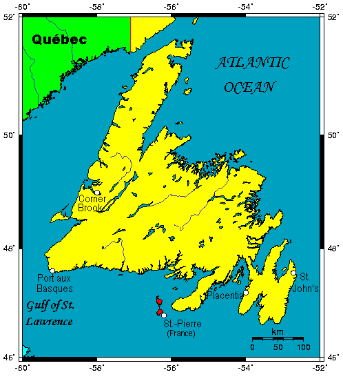
Key Facts
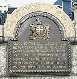
- Nickname: "The Rock"
- Capital City: St. John's
- Total Area: 108,878.06 km²
- Highest Point: The Cabox (814 m)
- Coastline Length: 9,656 km
- Primary Demographics: English, Irish, Scottish, French, and Mi'kmaq ancestry
Geography and Landscape
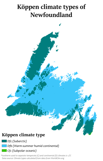
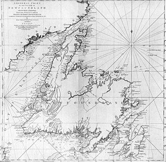
Newfoundland is characterized by its dramatic and varied terrain. The island is separated from the Labrador Peninsula by the Strait of Belle Isle and from Cape Breton Island by the Cabot Strait. One of its most significant geographical features is its role in blocking the mouth of the Saint Lawrence River, which helps create the Gulf of Saint Lawrence, the largest estuary in the world.
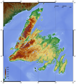
The island's topography is diverse, featuring mountainous regions on the west coast and the prominent Avalon Peninsula in the southeast. The Avalon Peninsula is a major population hub, hosting approximately 60% of the province's residents. While the island accounts for only 29% of the province's total land area, it is home to over 90% of its population. The highest elevation on the island is found at The Cabox, reaching 814 meters (2,671 ft).
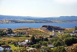
The coastline is immense, stretching over 9,656 km, providing endless opportunities for maritime activities. Notable coastal features include Conception Bay and the East Coast Trail, a 220 km hiking path that runs through the Avalon Peninsula.
Major Settlements and Communities
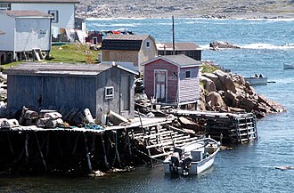
The largest settlement on the island is the capital, St. John's, which has a population of approximately 200,600. Other significant municipalities include Conception Bay South, Mount Pearl, Paradise, and Corner Brook. Many residents live in traditional outports—small, isolated settlements often centered around fishing.
A Journey Through History
Ancient Roots and Norse Discovery
Newfoundland holds a prestigious place in North American history as the site of the only authenticated Norse settlement on the continent. Archaeological research at L'Anse aux Meadows, discovered in 1960, suggests that Vikings were present on the island as early as 1021 AD. This site contains the earliest known European structures in North America.
European Exploration and Colonization
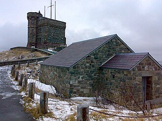
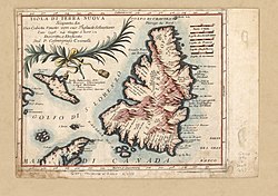
Following the Norse, the Italian navigator John Cabot became the first European to set foot on Newfoundland in 1497, sailing under the commission of King Henry VII of England. While his exact landing site remains a subject of debate, popular belief points to Cape Bonavista or Cape Bauld.
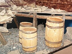
Permanent European settlement attempts began in earnest in the early 17th century. In 1610, John Guy led colonists to Cuper's Cove. Over the following centuries, the island's economy was dominated by the fishing industry, with English fishermen controlling the east coast and French fishermen dominating the south coast and the Northern Peninsula.
From Dominion to Canadian Province
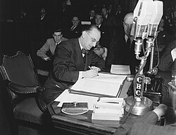
Newfoundland's political status evolved significantly over time. It was organized as a colony in 1825 and later became a self-governing dominion in 1907. Following a period of financial crisis where it was ruled by a Commission of Government, the people voted in referendums in 1948 to join the Canadian Confederation. Newfoundland officially became a province of Canada on March 31, 1949.
Symbols and Identity
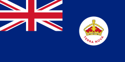
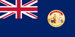
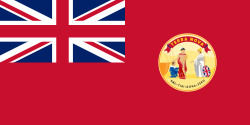
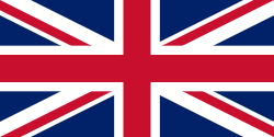
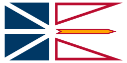
The history of Newfoundland is also reflected in its flags. The island has transitioned through various official symbols, including the Newfoundland Blue Ensign, the Red Ensign, and the Union Flag, which served as the official flag of the Dominion and province from 1931 to 1980. Today, the island is represented by the official provincial flag of Newfoundland and Labrador, legislated in 1980.
Summary of Newfoundland Statistics
| Category | Details |
|---|---|
| Area | 108,878.06 km² |
| Population (2021) | 510,550 |
| Longest River | Exploits River (246 km) |
| Time Zone | Newfoundland Standard Time (UTC−03:30) |
| Nearest Neighbor | Saint Pierre and Miquelon (19 km away) |
Frequently Asked Questions
What is the highest point in Newfoundland?
The highest elevation on the island is The Cabox, which reaches a height of 814 meters (2,671 feet).
When did Newfoundland join Canada?
Newfoundland officially joined the Canadian Confederation as a province on March 31, 1949.
Where is the oldest European settlement in North America located?
The oldest authenticated European settlement is located at L'Anse aux Meadows, established by Norse settlers around the year 1021.
What is the largest city in Newfoundland?
The largest settlement and provincial capital is St. John's.
What is the significance of the name "The Rock"?
"The Rock" is a common nickname for Newfoundland, reflecting its rugged, rocky terrain and resilient character.