New Haven: The Historic Elm City of Connecticut
Known affectionately as the Elm City, New Haven is a vibrant coastal city in South Central Connecticut. Founded in 1638, it has evolved from a Puritan colony into a world-renowned center for education, culture, and industry. From its iconic grid-based downtown to the prestigious halls of Yale University, New Haven blends deep colonial roots with a forward-looking urban energy.
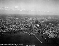
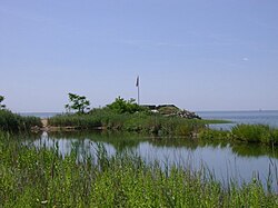
The city is defined by its unique geography, situated along a natural harbor that has fueled its economy for centuries. Today, it serves as a critical hub for transportation and innovation in the Northeast.
Key Facts
- Founded: April 3, 1638, as an independent colony.
- Nickname: The Elm City.
- Population: 134,023 (2020 Census), with an estimated 138,774 by 2025.
- Government: Mayor-board of aldermen system, currently led by Mayor Justin Elicker.
- Education: Home to Yale University and the Hopkins School (the fifth-oldest educational institution in the U.S.).
- Geography: Spans 20.14 square miles, including a significant natural harbor.
History and Evolution
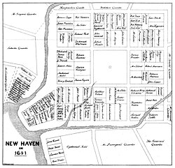
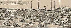
New Haven began as an independent colony before becoming part of the Connecticut Colony. Its early layout was a meticulously planned nine-square grid, with the New Haven Green serving as the central focal point—a design that continues to define the downtown area today.
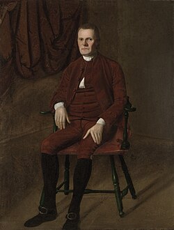
Throughout the 18th and 19th centuries, New Haven transitioned from a colonial outpost to an industrial powerhouse. The city saw the rise of significant political figures, including Roger Sherman, a signer of both the Declaration of Independence and the Constitution, who served as the city's first mayor.
The city's growth led to the creation of several surrounding towns, including Wallingford (1670), Branford (1685), and Hamden (1786), as the original colony expanded its reach across the region.
Geography, Climate, and Infrastructure
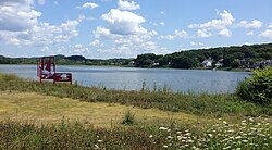
New Haven is located at an elevation of 59 feet, characterized by a temperate climate with distinct seasons. The city experiences significant precipitation throughout the year, averaging 41.79 inches annually, with snowfall peaking in the winter months.
Transportation and Connectivity
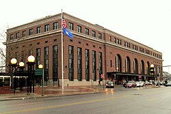
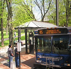
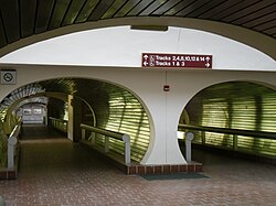
The city is a major transit node. The Port of New Haven facilitates maritime trade, while Union Station provides commuter rail access via the Hartford Line to cities like Meriden, Hartford, and Springfield, Massachusetts.
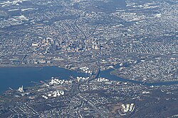
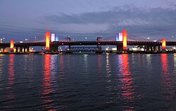
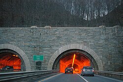
Major road infrastructure includes the Pearl Harbor Memorial Bridge (the "Q Bridge") and the Wilbur Cross Parkway, which features the Heroes Tunnel—the only highway tunnel in the state of Connecticut.
Culture, Architecture, and Cuisine
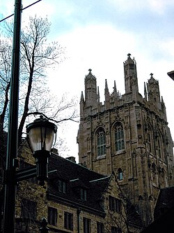
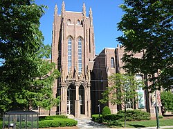
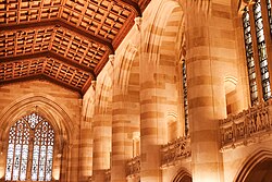
New Haven is globally recognized for its architectural diversity and culinary contributions. The city is a showcase of Collegiate Gothic architecture, particularly within the Yale University campus, where structures like the Sterling Memorial Library stand as landmarks of academic grandeur.
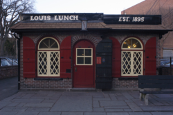
Beyond academia, the city is a destination for food lovers. It is the birthplace of the world-famous New Haven-style white clam pizza, popularized by institutions like Pepe's, and is reputedly the site where the hamburger was invented at Louis' Lunch in 1900.

Notable Landmarks
- The New Haven Green: The historic heart of the city.
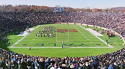
- Yale Bowl: A massive stadium used for "The Game" against Harvard.
- Peabody Museum of Natural History: A premier research and exhibition space.
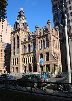
- New Haven City Hall: A center of local governance and green energy initiatives.
Demographics and Urban Profile
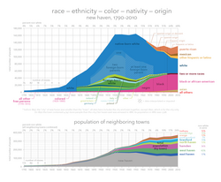
New Haven is a diverse metropolitan area. According to 2020 Census data, the population is composed of a rich mix of ethnicities, with significant Hispanic or Latino (30.64%) and Black or African American (30.43%) communities.
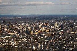
The city's skyline is dominated by the Connecticut Financial Center, the tallest building in the city at 383 feet, reflecting its role as a regional economic center.
| Category | Detail |
|---|---|
| Total Area | 20.14 sq mi |
| Land Area | 18.69 sq mi |
| Water Area | 1.44 sq mi |
| 2020 Population | 134,023 |
| Tallest Building | Connecticut Financial Center (383 ft) |
| Primary Industry Hubs | Education, Healthcare, Maritime Trade |
Frequently Asked Questions


Why is New Haven called the Elm City?
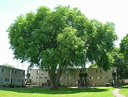
The city earned the nickname "The Elm City" due to the abundance of American elm trees that once lined its streets and defined its landscape.
What is New Haven-style pizza?
New Haven-style pizza is a regional specialty known for its thin crust and charred edges, with white clam pizza being one of its most iconic variations.
What is the significance of the New Haven Green?
The New Haven Green is the center of the city's original 1638 nine-square plan and remains a central public space for community gatherings and historic landmarks.
Which major university is located in New Haven?
Yale University is located in New Haven, contributing significantly to the city's architecture, economy, and global reputation for research and education.
What is the only highway tunnel in Connecticut?
The Heroes Tunnel, located on the Wilbur Cross Parkway passing through West Rock, is the only highway tunnel in the state.