Haiti Earthquake 2010: Analysis of the Catastrophic Magnitude 7.0 Event
On January 12, 2010, Haiti was struck by one of the most devastating seismic events in its history. At 16:53:10 local time, a massive earthquake centered near the capital, Port-au-Prince, triggered widespread destruction, claiming tens of thousands of lives and crippling the nation's infrastructure. The event lasted approximately 30 seconds, leaving a legacy of loss and a long, complex road to recovery.
Key Facts
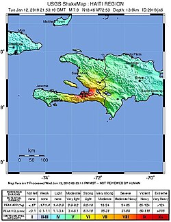
- Date and Time: January 12, 2010, at 16:53:10 EST.
- Magnitude: 7.0 Mw.
- Epicenter: 18.46°N 72.53°W, at a depth of 13 km.
- Casualties: Estimated between 100,000 and 160,000 deaths.
- Economic Impact: Total damages estimated between $7.8 billion and $8.5 billion.
- Maximum Intensity: MMI X (Extreme).
Geological Context and Seismic Activity
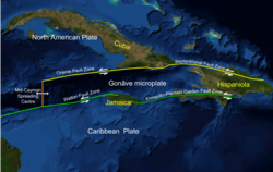
The earthquake was caused by movement along the Enriquillo-Plantain Garden fault zone, a major tectonic boundary. The shallow depth of the quake—only 13 kilometers—significantly amplified the shaking felt on the surface, particularly in densely populated urban areas.
The regional tectonic setting played a critical role in the distribution of the energy released during the main shock. Following the initial event, the region experienced a series of aftershocks, some exceeding magnitude 4.0, which further destabilized already damaged structures.
In mountainous regions, the intense shaking triggered numerous landslides, which are common in such terrain following large seismic events. These landslides often blocked roads, complicating early rescue efforts.
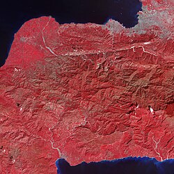
The seismic sequence is documented by the USGS, showing the timeline of the main shock and the subsequent decay of aftershock frequency and magnitude.
![History of the main shock and aftershocks with magnitudes larger than 4.0, data from USGS[45]](/images/81/1e/811e7811a0a2c559214e1bcd07956d2ed827afb5d0f5570a97ccb817f0629a62.webp)
Impact on Infrastructure and Essential Services
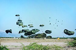
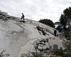
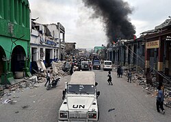
The destruction was most severe in Port-au-Prince and surrounding cities like Léogâne and Jacmel. The lack of strict building standards meant that many concrete structures collapsed completely, trapping thousands of residents.
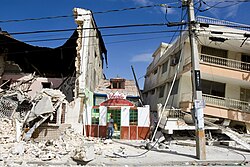
Governmental and cultural landmarks suffered immense losses. The National Palace of Haiti saw large portions of its structure collapse, symbolizing the blow to the nation's administrative heart.
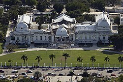
Essential services were almost entirely severed. Hospitals collapsed or became unusable, leaving only a handful of facilities operational in the capital. Communication networks were disrupted, and the education system suffered a total collapse as schools were destroyed.
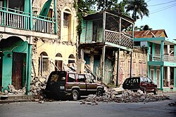
The city of Léogâne, located very close to the epicenter, experienced near-total devastation of its built environment.
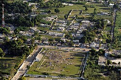
Humanitarian Crisis and Immediate Response
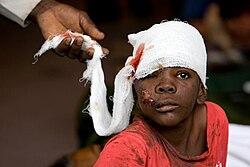
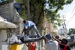
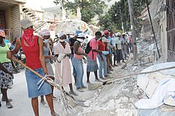
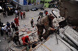
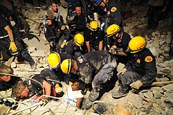
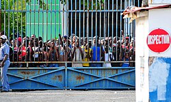
The immediate aftermath was characterized by a desperate search for survivors. Local Haitians led the initial rescue efforts, often digging through rubble with their bare hands before international teams arrived.
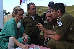
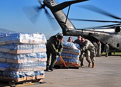
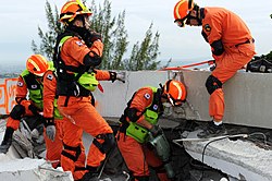
International aid arrived in waves. Urban Search and Rescue (USAR) specialists, including teams from South Korea, Israel, and the United States, utilized specialized equipment to locate survivors trapped under debris.
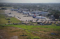
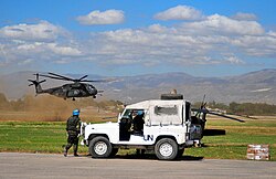
The logistics of the relief effort were hampered by a bottleneck at the Port-au-Prince airport, where aid planes crowded the tarmac waiting for clearance to unload supplies.
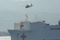
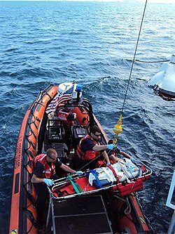
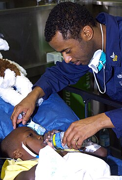
Medical aid was provided through a combination of field hospitals and offshore assets. The USNS Comfort, a hospital ship, served as a critical hub for treating the severely injured.
Summary of Event Data
| Parameter | Detail |
|---|---|
| Magnitude | 7.0 Mw |
| Depth | 13 km (8.1 mi) |
| Duration | 30 seconds |
| Peak Acceleration | 0.5 g |
| Tsunami | Yes (localized) |
| Affected Areas | Haiti, Dominican Republic |
Long-term Recovery and Challenges
In the months following the quake, the Haitian government and international bodies like the UN Development Programme (UNDP) implemented cash-for-work schemes to clear roads and manage debris. However, the transition from emergency relief to sustainable reconstruction was fraught with difficulty.
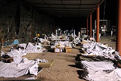
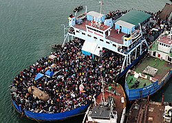
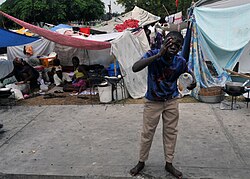
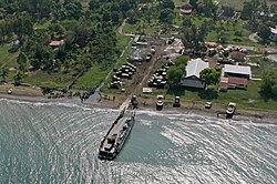
Many survivors were forced into precarious camps after losing their homes. The government attempted to relocate homeless populations via ferries and buses to temporary camps outside the capital.
By 2011 and beyond, reports from organizations like Oxfam indicated that reconstruction had reached a standstill in many areas. The recovery process was further complicated by a subsequent cholera outbreak and ongoing political instability.
Years later, the ruins of significant landmarks, such as the Cathedral of Our Lady of the Assumption, remained as stark reminders of the disaster's scale.
![Remnants of the Cathedral of Our Lady of the Assumption after its collapse. In 2020, the building is still in ruins.[261]](/images/71/01/71017195e8360846556f697c1f1d87b9a926f3f10d5fc14050808aa1f329d492.jpg)
Frequently Asked Questions
What caused the 2010 Haiti earthquake?
The earthquake was caused by a release of seismic tension along the Enriquillo-Plantain Garden fault zone, which is part of the complex tectonic boundary between the Caribbean and North American plates.
Why was the damage so severe in Port-au-Prince?
The severity was due to a combination of the earthquake's shallow depth (13 km), the proximity of the epicenter to the city, and the widespread use of non-seismic-resistant building materials and poor construction standards.
How many people died in the disaster?
While estimates vary, the generally accepted death toll ranges between 100,000 and 160,000 people.
Was there a tsunami associated with the quake?
Yes, there were localized tsunamis following the earthquake, though they were not as widespread as those seen in oceanic subduction zone events.
What was the role of the international community in the rescue?
International efforts provided critical medical support via hospital ships, specialized search and rescue teams, and massive financial aid packages from countries including the U.S. and Canada, as well as the United Nations.