Exploring Bogotá: The Vibrant Heart of the Colombian Andes
Perched high in the Andes Mountains, Bogotá is a city of dramatic contrasts, where colonial history meets a soaring modern skyline. As the capital of Colombia, this high-altitude metropolis serves as the nation's political, economic, and cultural epicenter. Known by nicknames such as "La Atenas Suramericana" (The South American Athens) and "Muy Noble y Muy Leal Ciudad" (The Noblest and Most Loyal City), Bogotá offers a unique blend of mountain landscapes, rich indigenous roots, and sophisticated urban life.
Key Facts
- Elevation: Approximately 2,640 meters (8,660 feet) above sea level.
- Population: Over 8 million in the capital city, with a metropolitan area exceeding 11.6 million.
- Founded: August 6, 1538, by Gonzalo Jiménez de Quesada.
- Climate: High-altitude tropical; characterized by moderate temperatures and significant precipitation.
- Major Transport: El Dorado International Airport and the TransMilenio bus rapid transit system.
Geography and Climate
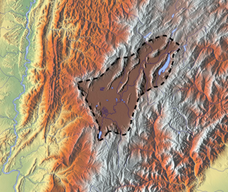
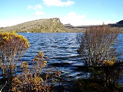
Bogotá is situated on the Bogotá savanna, a high plateau shaped by ancient geological processes. The landscape is defined by the surrounding Eastern Hills and unique ecosystems like the Sumapaz Páramo, a high-altitude moorland essential for the region's water supply.
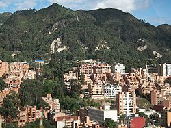
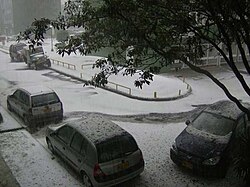
Due to its extreme elevation, the city enjoys a temperate climate. While it is located in the tropics, it does not experience traditional "hot" or "cold" seasons. Instead, weather patterns are defined by rainfall. The wettest months typically occur between April and May, and again in October and November. Temperatures remain relatively stable, though the city can experience sudden hailstorms or chilly nights.
Climate Summary Table
| Metric | Annual Average / Range |
|---|---|
| Mean Daily Maximum | ~19.6°C (67.3°F) |
| Mean Daily Minimum | ~8.5°C (47.3°F) |
| Average Annual Precipitation | 877.3 mm (34.54 in) |
| Average Relative Humidity | ~79% |
A Journey Through History
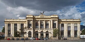
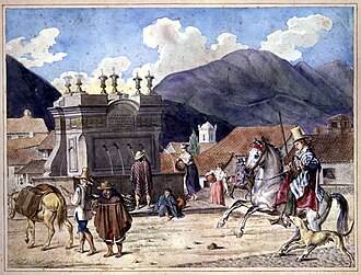
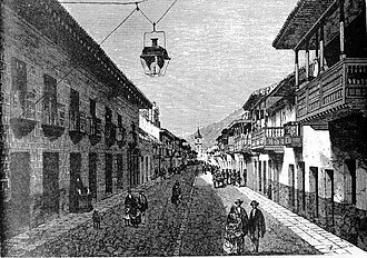
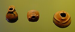
Long before the Spanish arrival, the region was home to indigenous groups, known pre-colonially as Bacatá. The modern city began to take shape in 1538 following the expedition of Gonzalo Jiménez de Quesada. The colonial era left an indelible mark on the city's architecture, particularly in the historic district of La Candelaria.
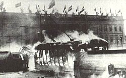
The 19th and 20th centuries saw Bogotá evolve from a colonial outpost into a bustling capital. Significant historical events, such as the Bogotazo in 1948, have shaped the city's political landscape and urban development. Today, the city balances its historical preservation with rapid 21st-century expansion.
Culture, Architecture, and Landmarks
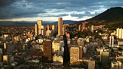
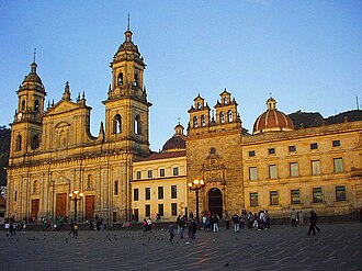
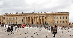
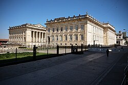
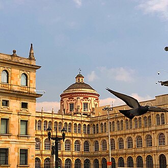
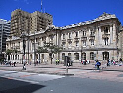
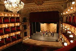
Bogotá is a cultural powerhouse, home to world-class museums, theaters, and historic plazas. Bolívar Square serves as the city's symbolic heart, surrounded by monumental buildings like the National Capitol and the Primal Cathedral.
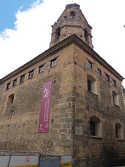
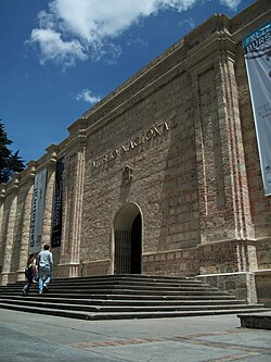
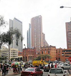
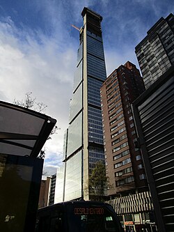
For art lovers, the Gold Museum and the National Museum offer deep dives into Colombia's heritage. The city's architectural diversity ranges from the Plateresque style of the Colegio Mayor de San Bartolomé to the modern skyscrapers of the Financial District.
Entertainment and Recreation
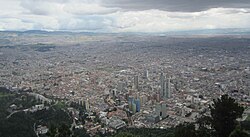
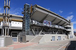
From the high-altitude views of the Monserrate Sanctuary to the vibrant Ciclovía—a weekly event where streets are closed to cars for cyclists and pedestrians—there is no shortage of activity. Sports fans flock to Estadio El Campín to support local football giants like Millonarios and Santa Fe.
Urban Life and Infrastructure
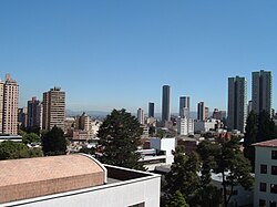
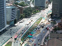
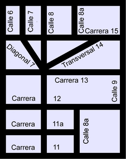
As the second-largest city in South America by population, Bogotá manages a complex urban environment. The city is organized via a Cartesian coordinate system, which can be confusing to newcomers as North is often represented to the right on local maps.
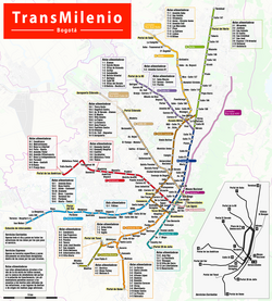
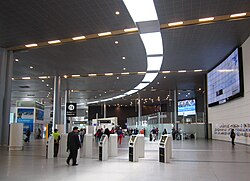
Transportation is dominated by the TransMilenio bus rapid transit system, though the city is currently working toward the implementation of its first Metro line, expected to begin service in 2028. For air travel, El Dorado International Airport serves as the primary gateway to the country.
Frequently Asked Questions
![Bogotá future population (medium variant)[further explanation needed]](/images/b8/67/b867a9d328206db4adddfdff53b420c2700e829a27471c4bf288c86521706efc.png)
![Dance of peasants of Bogotá savanna, 1878, by Ramón Torres Méndez. Museo de la Independencia Casa del Florero.[146][147]](/images/2a/ec/2aec83c9b456cce5f976b08954e340ca0b29ac9771abd5ed2da2844f1cbaa54e.jpg)

What is the best time to visit Bogotá?
Because Bogotá has a relatively stable, temperate climate, there is no single "best" season. However, if you prefer drier weather, the months between December and March or July and August are generally favorable.
How high above sea level is Bogotá?
Bogotá is located at an elevation of approximately 2,640 meters (8,660 feet). Visitors may experience altitude effects, so it is advisable to stay hydrated.
What are the main ways to get around the city?
The most common public transport method is the TransMilenio bus system. The city also features extensive bike paths and is working on expanding its rail and metro infrastructure.
What is "Chocolate Santafereño"?
It is a traditional local breakfast consisting of hot chocolate served with cheese and bread such as almojábana or pandequeso.